Caves · South West England
Thrupe Lane Swallett
Thrupe Lane Swallett is a cave in the United Kingdom.

Maurice Pullin — CC BY-SA 2.0 via Wikimedia Commons licence
Plan your visit
- Typical visit
- 45 min–1.5 h
- Nearest railway station
- Mendip Vale · 4.9 km
- Free entry
- Dog-friendly
About
Thrupe Lane Swallett is a named cave entrance in the United Kingdom. Coordinates: 51.2098°, -2.5686°. This entry is part of The Great Britain Guide, a free, ad-free, open-data tourist directory.
Photo gallery
Protected designations
- Site of Special Scientific Interest: Thrupe Lane Swallet SSSI
Designations sourced from Natural England open data under OGL v3.
From the Wikipedia article
Thrupe Lane Swallet (grid reference ST603458) is a 0.5 hectares (1.2 acres) geological Site of Special Scientific Interest in Somerset, notified in 1992. It is also a Geological Conservation Review site. The name Thrupe Lane comes from the nearby hamlet of Thrupe, which in Anglo-Saxon meant dairy farm. The swallet is a small, single pothole cave system that is dominated by a series of deep (117 metres (384 ft)) and mainly vertical passages, which follow fault lines, natural joints in the rock and mineral veins. It shows a form of cave development not seen elsewhere in the Mendips and contains the tallest vertical shaft in any known cave on the Mendip Hills, Atlas Pot, which is 60 metres (197 ft) deep. The stream that flows through the cave is one of those that feeds St Andrew's Wells in the grounds of the Bishop's Palace in Wells. Thrupe Lane Swallet was first entered in 1974 following digging by three caving groups. The entry shaft has been blasted open to ensure a stable entrance.
Excerpt from Wikipedia under CC BY-SA 4.0. See the source article linked in Sources below.
- Coordinates
- 51.2098, -2.5686
- District
- Somerset
- Parish
- Croscombe
- Postcode
- BA5 3HD
- Parliamentary constituency
- Wells and Mendip Hills
- Nearest railway station
- Mendip Vale — 4.9 km
Sources
- osm: n3431560252 (ODbL)
- wikipedia: Thrupe Lane Swallet (CC BY-SA 4.0)
Other places nearby
Loading nearby places…
Nearby
 📷 5
📷 5Towns & cities · South West England
Croscombe
Croscombe — village in Somerset, England, UK.
 📷 3
📷 3Castles · South West England
Maesbury Castle
Maesbury Castle — a castle in england-south-west, United Kingdom.
Vineyards · South West England
Maesbury Castle
Maesbury Castle — a UK vineyard in england south west, producing English or Welsh wine from cool-climate grape varieties.
 📷 3
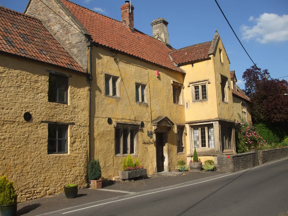
📷 3Stately homes · South West England
The Old Manor
The Old Manor — Grade I listed manor house in Mendip, United Kingdom.
 📷 5
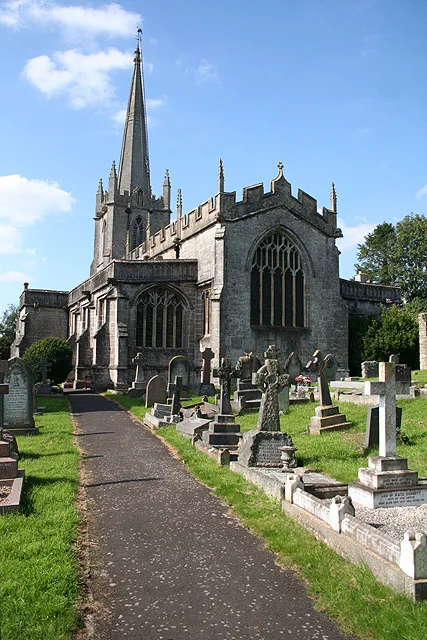
📷 5Historic churches · South West England
Church of St Mary the Virgin, Croscombe
Church of St Mary the Virgin, Croscombe — church in Croscombe, Somerset, England, UK.
 📷 3
📷 3Memorials & monuments · South West England
Unknown Monument, In Churchyard About 20 M South Of South Porch, Church Of St Mary The Virgin
Unknown Monument, In Churchyard About 20 M South Of South Porch, Church Of St Mary The Virgin — Grade II listed building-listed memorial in england-south-west, United Kingdom.
More caves in this region
 📷 5
📷 5Caves · South West England
Ashhole Cavern
Ashhole Cavern is a cave in the United Kingdom.
 📷 5
📷 5Caves · South West England
Bakers Pit
Bakers Pit is a cave in the United Kingdom.
 📷 5
📷 5Caves · South West England
Benson's Cave
Benson's Cave is a cave in the United Kingdom.
 📷 5
📷 5Caves · South West England
Blackmoor Swallet
Blackmoor Swallet is a cave in the United Kingdom.
Frequently asked questions
- Where is Thrupe Lane Swallett?
- Thrupe Lane Swallett is in South-West England, United Kingdom (postcode BA5 3HD), in the parish of Croscombe.
- Is Thrupe Lane Swallett a protected site?
- Yes — Thrupe Lane Swallett is part of the Thrupe Lane Swallet SSSI Site of Special Scientific Interest.
- Is Thrupe Lane Swallett free to visit?
- Yes, Thrupe Lane Swallett is free to enter.
- How do I get to Thrupe Lane Swallett?
- The nearest railway station is Mendip Vale, about 4.9 km away. Drivers can navigate to postcode BA5 3HD.