Mountains & hills · Yorkshire & the Humber
Thorpe Fell Top
Thorpe Fell Top — Named summit at 506.3 m.

Wikimedia Commons contributors — see linked file page for photographer and licence licence
Plan your visit
- Typical visit
- 3 h–8 h
- Best time of year
- Late spring – early autumn (May–Oct)
- Nearest railway station
- Embsay · 6.4 km
- Free entry
- Dog-friendly
About
Thorpe Fell Top is a named summit in the United Kingdom. Wikidata describes it as: "Named summit at 506.3 m.". Coordinates: 54.0332°, -1.9889°.
Photo gallery
Protected designations
- Site of Special Scientific Interest: West Nidderdale, Barden and Blubberhouses Moors SSSI
- Area of Outstanding Natural Beauty: Nidderdale
Designations sourced from Natural England open data under OGL v3.
From the Wikipedia article
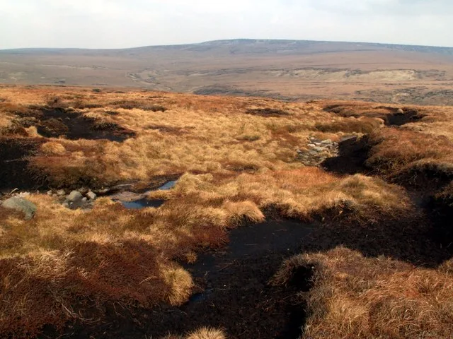
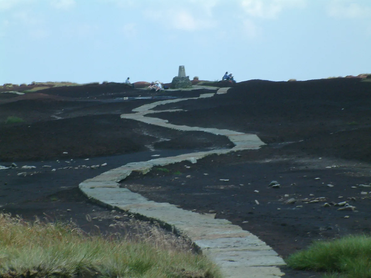
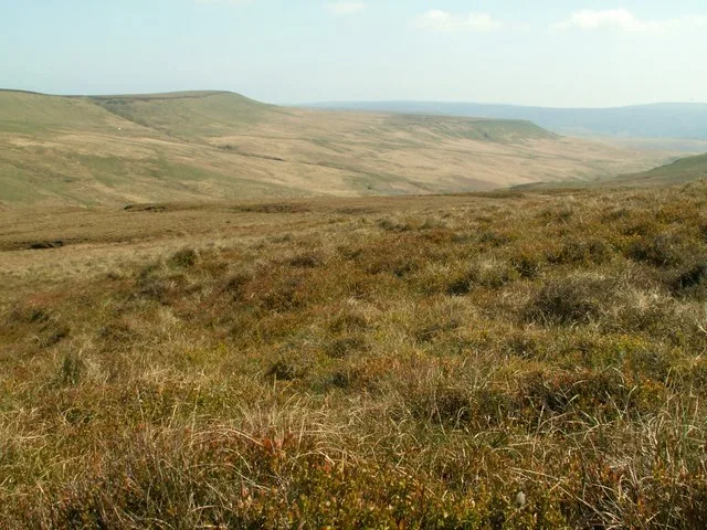
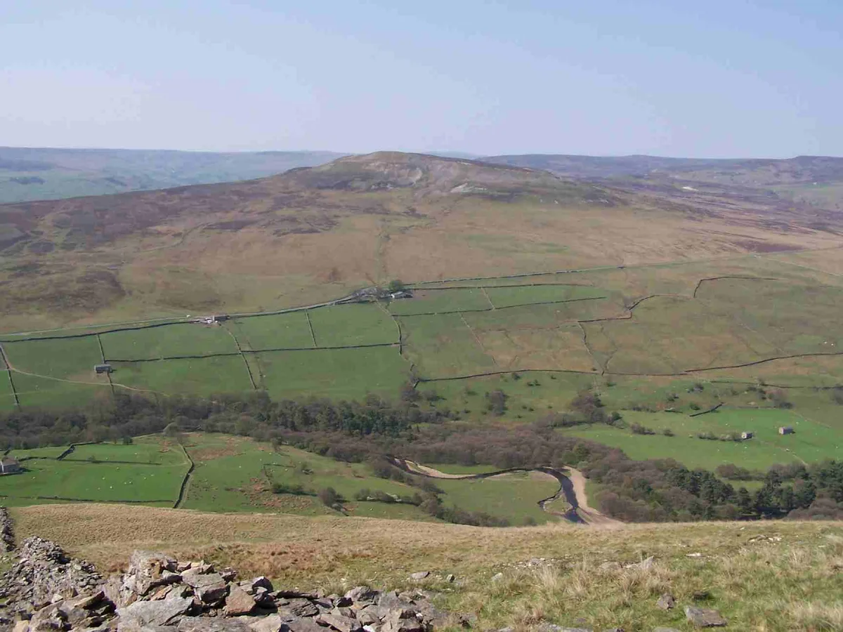
Thorpe Fell Top is the top of the hill of Burnsall and Thorpe Fell in the Yorkshire Dales, itself forming part of a larger wedge of ground between Wharfedale and Skipton. The summit of this grouse moor is 506 metres (1,660 ft) above sea level and topped with a trig point. It was listed in Alan Dawson's "The Relative Hills of Britain" as a Marilyn. However, a number of recent observations and measurements suggest that the base of the war memorial at the top of Cracoe Fell (SD993588) some 1.1 mi (1.7 km) to the south-west, is probably higher, perhaps as high as 510 metres. Thorpe Fell Top is probably most easily visited from either Thorpe or Burnsall. The track and path marked on Ordnance Survey maps to the north and west of the summit continues all the way to the top of Cracoe Fell. The latter can also be reached along Fell Lane from the village of Cracoe.
Excerpt from Wikipedia under CC BY-SA 4.0. See the source article linked in Sources below.
- Coordinates
- 54.0332, -1.9889
- Address
- Yorkshire Dales, England
- Nearest railway station
- Embsay — 6.4 km
Sources
- osm: n32271166 (ODbL)
- wikipedia: Thorpe Fell Top (CC BY-SA 4.0)
- commons: Cracoe Fell.jpg (CC BY-SA 4.0)
Other places nearby
Loading nearby places…
Nearby
 📷 3
📷 3Archaeological sites · Yorkshire & the Humber
Thorpe Peat Pits
Thorpe Peat Pits — a archaeological in england-yorkshire, United Kingdom.
 📷 3
📷 3Archaeological sites · Yorkshire & the Humber
Threapland Peat Pits
Threapland Peat Pits — a archaeological in england-yorkshire, United Kingdom.
 📷 3
📷 3Archaeological sites · Yorkshire & the Humber
old coal mine workings
old coal mine workings — a archaeological in england-yorkshire, United Kingdom.
 📷 3
📷 3Archaeological sites · Yorkshire & the Humber
Burnsall Peat Pits
Burnsall Peat Pits — a archaeological in england-yorkshire, United Kingdom.
 📷 3
📷 3Archaeological sites · North West England
Cracoe Peat Pits
Cracoe Peat Pits — a archaeological in england-north-west, United Kingdom.
 📷 3
📷 3Archaeological sites · North West England
Carden Mines
Carden Mines — a archaeological in england-north-west, United Kingdom.
More mountains in this region
 📷 3
📷 3Mountains & hills · Yorkshire & the Humber
Black Chew Head
Black Chew Head — Named summit at 542 m.
 📷 3
📷 3Mountains & hills · Yorkshire & the Humber
Black Hill
Black Hill — Named summit at 582 m.
 📷 3
📷 3Mountains & hills · Yorkshire & the Humber
Britland Edge Hill
Britland Edge Hill — Named summit at 523 m.
 📷 3
📷 3Mountains & hills · Yorkshire & the Humber
Calver Hill
Calver Hill — Named summit at 493 m.
Frequently asked questions
- Where is Thorpe Fell Top?
- Thorpe Fell Top is in Yorkshire, United Kingdom.
- Is Thorpe Fell Top a protected site?
- Yes — Thorpe Fell Top is part of the West Nidderdale, Barden and Blubberhouses Moors SSSI Site of Special Scientific Interest and the Nidderdale National Landscape (AONB).
- Is Thorpe Fell Top free to visit?
- Yes, Thorpe Fell Top is free to enter.
- How do I get to Thorpe Fell Top?
- The nearest railway station is Embsay, about 6.4 km away.