Historic houses · London
The Rosary
The Rosary — former moated house built by King Edward II of England in Southwark.

Christine Matthews — CC BY-SA 2.0 via Wikimedia Commons licence
Plan your visit
- Typical visit
- 1 h–2 h
- Nearest railway station
- London Bridge · 0.1 km
- Family-friendly
- Wheelchair accessible
About
The Rosary is a historic house in the United Kingdom — typically a country seat, manor, or town house with notable architecture or history. Wikidata describes it as: "former moated house built by King Edward II of England in Southwark". Coordinates: 51.5050°, -0.0830°.
Photo gallery
From the Wikipedia article
The Rosary was a moated house built by King Edward II of England in Southwark, to the east of the southern end of London Bridge, opposite the Tower of London. At this time, much of the land on the south bank the River Thames was marshy, with sand and gravel islands. Another moated manor house, Dunley Place, owned by the Dunley family, had been constructed to the west, nearer London Bridge, before 1300. Edward II acquired land to the east of Dunley Place in around 1324, taking a lease from Lady Agnes de Dunley, and started construction of a moated pleasure-house, probably largely built with wood, although some stone walls and buttresses have been discovered by archaeologists. Edward II visited the construction site several times, but it was probably not completed before his death in 1327. Little remained of Dunley Place and the Rosary by 1440, when the land was acquired by Sir John Fastolf. He constructed a large moated residential complex on the site, including a counting house, a chamber for his round table, and a brewery or granary with wharf, all surrounded by a large brick wall with two gatehouses and causeways over the moat. The land was divided after a long-running legal dispute following Fastolf's death in 1459. The area was later used for tidal mills, wharves, and warehouses. The site is now part of Hay's Galleria (formerly Hay's Wharf) and the More London site further east towards Tower Bridge (formerly Gun and Shot Wharf).
Excerpt from Wikipedia under CC BY-SA 4.0. See the source article linked in Sources below.
- Coordinates
- 51.5050, -0.0830
- District
- Southwark
- Parish
- Southwark, unparished area
- Postcode
- SE1 2DA
- Parliamentary constituency
- Bermondsey and Old Southwark
- Nearest railway station
- London Bridge — 0.1 km
Sources
- wikidata: Q16932407 (CC0)
- wikipedia: The Rosary (house) (CC BY-SA 4.0)
Other places nearby
Loading nearby places…
Nearby
 📷 5
📷 5Historic houses · London
Shipwrights Arms
Shipwrights Arms — a Grade II*-listed historic house in england-london, United Kingdom.
Hotels · London
Hilton London Tower Bridge
Hilton London Tower Bridge — a hotel in england london.
 📷 5
📷 5Gardens · London
115-121, Tooley Street
115-121, Tooley Street — a garden in england-london, United Kingdom.
 📷 5
📷 5Gardens · London
Hay's Galleria
Hay's Galleria — a garden in england-london, United Kingdom.
.jpg?width=1200) 📷 5
📷 5Historic bridges · London
The Navigators
The Navigators — Public artwork (sculpture).
 📷 5
📷 5Public art & sculpture · London
Old London Bridge mosaic
Old London Bridge mosaic — a public art in england-london, United Kingdom.
More historic houses in this region
 Flagship📷 10
Historic houses · London
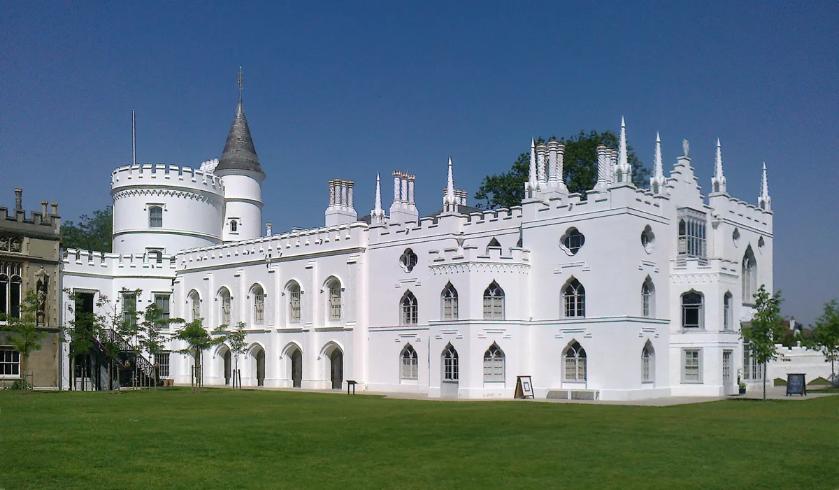
Strawberry Hill House
Strawberry Hill House — villa and house museum in Twickenham, London, United Kingdom.
 📷 5
📷 5Historic houses · London
1 Old Palace Terrace
1 Old Palace Terrace — house in Richmond upon Thames, London, United Kingdom.
 📷 5
📷 5Historic houses · London
1 Palace Green
1 Palace Green — house on Palace Green, Kensington, London.
 📷 5
📷 5Historic houses · London
1–2 Orme Square
1–2 Orme Square — pair of houses in Orme Square, Bayswater, London.
Frequently asked questions
- Where is The Rosary?
- The Rosary is in London, in the United Kingdom — coordinates 51.5050°, -0.0830°. The nearest railway station is London Bridge, around 0.1 km away.
- Is The Rosary wheelchair accessible?
- Yes — The Rosary is tagged in OpenStreetMap as wheelchair-accessible.