Towns & cities · Northern Ireland
The Loup
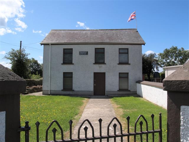
The Loup — village in County Londonderry, Northern Ireland, UK.

Wikimedia Commons contributors — see linked file page for photographer and licence licence
Plan your visit
- Typical visit
- 3 h–6 h
- Free entry
- Family-friendly
- Dog-friendly
About
The Loup is a town, city, village or settlement in the United Kingdom. Wikidata describes it as: "village in County Londonderry, Northern Ireland, UK". Coordinates: 54.7000°, -6.5980°.
Photo gallery
From the Wikipedia article
The Loup (Irish: an Lúb) is a small village in County Londonderry, Northern Ireland. It lies near the western shore of Lough Neagh between Moneymore, Magherafelt, Ballyronan and Coagh, within the district of Mid Ulster.
Excerpt from Wikipedia under CC BY-SA 4.0. See the source article linked in Sources below.
- Coordinates
- 54.7000, -6.5980
- District
- Mid Ulster
- Postcode
- BT45 7TD
- Parliamentary constituency
- Mid Ulster
Sources
- wikidata: Q853082 (CC0)
- wikipedia: The Loup (CC BY-SA 4.0)
- commons: The Loop RC Church - geograph.org.uk - 300801.jpg (CC BY-SA 4.0)
Other places nearby
Loading nearby places…
Nearby
 📷 2
📷 2Natural landmarks · Northern Ireland
Killetra
Killetra in Northern Ireland, United Kingdom.
Hostels · Northern Ireland
Global Village
Global Village — a hostel in northern ireland.
 📷 4
📷 4Historic houses · Northern Ireland
Springhill House
Springhill House in Northern Ireland, United Kingdom.

Natural landmarks · Northern Ireland
Ballylifford
Ballylifford in Northern Ireland, United Kingdom.
 📷 3
📷 3Natural landmarks · Northern Ireland
Moneymore GAC
Moneymore GAC in Northern Ireland, United Kingdom.
 📷 3
📷 3Towns & cities · Northern Ireland
Ballyronan
Ballyronan — village in County Derry, United Kingdom.
More towns in this region
 Flagship📷 5
Towns & cities · Northern Ireland
Bangor
Bangor — city in Northern Ireland, United Kingdom.
 Flagship📷 5
Towns & cities · Northern Ireland
Belfast
Belfast — capital city of Northern Ireland.
 Flagship📷 3
Towns & cities · Northern Ireland
Derry
Derry — city in Northern Ireland.
 Flagship📷 5
Towns & cities · Northern Ireland
Lisburn
Lisburn — city in Northern Ireland.
Frequently asked questions
- Where is The Loup?
- The Loup is in Northern Ireland, United Kingdom (postcode BT45 7TD).
- Is The Loup free to visit?
- Yes, The Loup is free to enter.
- How do I get to The Loup?
- Drivers can navigate to postcode BT45 7TD. It sits within the Mid Ulster parliamentary constituency.