Country parks · South East England
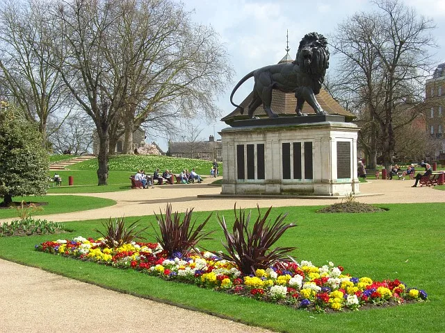
The Level, Brighton
The Level, Brighton — park in Brighton, UK.

Wikimedia Commons contributors — see linked file page for photographer and licence licence
Plan your visit
- Typical visit
- 1.5 h–3 h
- Nearest railway station
- Brighton · 0.6 km
- Free entry
- Family-friendly
- Dog-friendly
About
The Level, Brighton is a country park in the United Kingdom. Wikidata describes it as: "park in Brighton, UK". Coordinates: 50.8306°, -0.1333°.
Photo gallery
From the Wikipedia article
The Level is an urban park in central Brighton, on the south coast of England. The park is a triangle of 8.05 acres (3.26 ha) bounded by Union Road to the north, Richmond Terrace (A270) to the east, and Ditchling Road (A23) to the west. In the past, the land has been used as a cricket ground for the Prince of Wales and as a setting for large-scale dinner parties to commemorate events such as the defeat of Napoleon Bonaparte and the coronation of Queen Victoria. The Level is often used for public meetings and gatherings. These have included May Day events, a 1983 peace camp and the Brighton Urban Free Festival. Present day features of the park include a grassed area with elm trees and outdoor seating, a skatepark, public toilets, a rose garden, a children's playground and a water feature. The park was substantially redeveloped from 2009 onwards.
Excerpt from Wikipedia under CC BY-SA 4.0. See the source article linked in Sources below.
Background
History
<!-- The Level was mentioned in 1779 as grassland outside a farmhouse, which stood where the King and Queen pub stands now across from Victoria Gardens. The area was much larger than the park today, extending from Victoria Gardens to the north, over the present site and into what is now Park Crescent. The land was always marshy and swampy and was never built upon. After the town's authorities banned ball games and other traditional entertainments on the Old Steine in 1787, the Level became the focus for the early resort's sporting activities: The Prince of Wales (later George IV of the United Kingdom) then laid out a cricket ground on the northern side in 1791. The Prince of Wales Ground…
Description
The Level is in central Brighton, about 1 mi north of the seafront. It now covers 8.05 acre but was originally much bigger, encompassing the present-day Victoria Gardens and Valley Gardens to the south and the land now occupied by Park Crescent to the north. It forms a rough triangle enclosed by Union Street to the north, Ditchling Road (A23) to the west and Richmond Terrace (originally the southernmost part of Lewes Road) and Richmond Place (A270) to the east. The park is surrounded by elm trees and is laid out in three sections. The northern part of the urban park is a grassed area. In the middle section is a skatepark. The southern part of the park is a children's playground and also…
Sourced from Wikipedia under CC BY-SA 4.0.
- Coordinates
- 50.8306, -0.1333
- District
- Brighton and Hove
- Parish
- Brighton and Hove, unparished area
- Postcode
- BN1 4SB
- Parliamentary constituency
- Brighton Pavilion
- Nearest railway station
- Brighton — 0.6 km
- Opening
- 24 hours
- Official site
- web.archive.org
Sources
- wikidata: Q88484826 (CC0)
- wikipedia: The Level, Brighton (CC BY-SA 4.0)
- commons: The Level, Brighton.jpg (CC BY-SA 4.0)
Other places nearby
Loading nearby places…
Nearby
 📷 5
📷 5Other places · South East England
The Open Market
The Open Market is a place of interest in the United Kingdom.
 📷 5
📷 5Galleries · South East England
Phoenix Art Space
Phoenix Art Space — a gallery in england-south-east, United Kingdom.
Cafés · South East England
Cowley Club Café
Cowley Club Café — a café in england south east.
 📷 5
📷 5Theatres · South East England
Gem Electric Theatre
Gem Electric Theatre in England South East, United Kingdom.
 📷 5
📷 5Historic churches · South East England
Saint Bartholomew's Church
Saint Bartholomew's Church — Grade I listed church in Brighton, East Sussex, England, UK.
 📷 5
📷 5Historic churches · South East England
St Peter's Church, Brighton
St Peter's Church, Brighton — church in Brighton and Hove, East Sussex, England, UK.
More places in this region
 Flagship📷 10
Country parks · South East England
Forbury Gardens
Forbury Gardens — park in Reading, Berkshire, England, UK.
 📷 5
📷 5Country parks · South East England
Arthur Newbery Park
Arthur Newbery Park — public park in Tilehurst, Reading, UK.
 📷 5
📷 5Country parks · South East England
Baiter Park
Baiter Park — waterfront area of Poole, Dorset.
 📷 5
📷 5Country parks · South East England
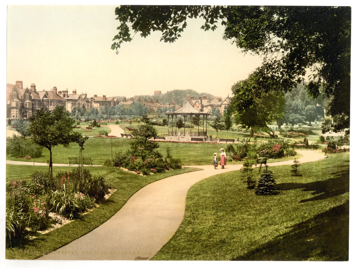
Borough Gardens
Borough Gardens — park in Dorchester, Dorset, England, UK.
Frequently asked questions
- Where is The Level, Brighton?
- The Level, Brighton is in South-East England, United Kingdom (postcode BN1 4SB), in the parish of Brighton and Hove, unparished area.
- Who owns The Level, Brighton?
- The Level, Brighton is owned by Brighton & Hove City Council.
- Is The Level, Brighton free to visit?
- Yes, The Level, Brighton is free to enter.
- How do I get to The Level, Brighton?
- The nearest railway station is Brighton, about 0.6 km away. Drivers can navigate to postcode BN1 4SB.