Forests & woodlands · East Midlands
The Green Line LNR
The Green Line LNR is a forest or woodland in the United Kingdom.

John Sutton — CC BY-SA 2.0 via Wikimedia Commons licence
Plan your visit
- Typical visit
- 1 h–3 h
- Nearest railway station
- Nottingham · 2.5 km
- Free entry
- Family-friendly
- Dog-friendly
About
The Green Line LNR is a named forest, woodland or nature reserve in the United Kingdom. Coordinates: 52.9263°, -1.1307°. This entry is part of The Great Britain Guide, a free, ad-free, open-data tourist directory.
Photo gallery
Place summary
The Green Line LNR is a local nature reserve located in the East Midlands, specifically in Nottinghamshire's Rushcliffe area. This forested area is designated to promote biodiversity and provide a natural habitat for various species.
AI-generated from the structured facts on this page (operator, designation, listing, era). Not a substitute for visiting.
- Coordinates
- 52.9263, -1.1307
- County
- Nottinghamshire
- District
- Rushcliffe
- Parish
- Rushcliffe, unparished area
- Postcode
- NG2 6UF
- Parliamentary constituency
- Rushcliffe
- Nearest railway station
- Nottingham — 2.5 km
- Official site
- www.greenlineconservation.com
Sources
- osm: w39750110 (ODbL)
Other places nearby
Loading nearby places…
Nearby
 📷 3
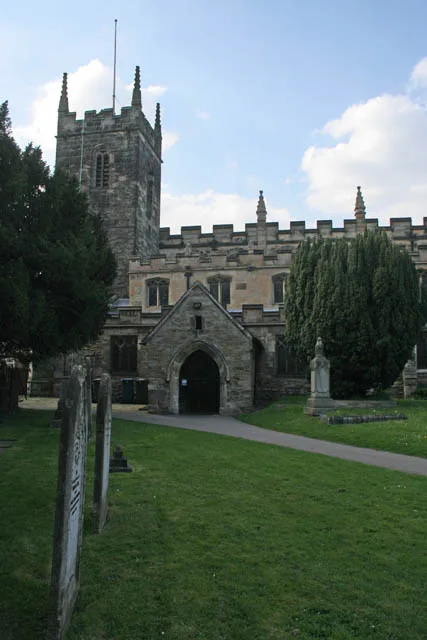
📷 3Historic churches · East Midlands
St. Giles Church, West Bridgford
St. Giles Church, West Bridgford — grade II listed church in Rushcliffe, Nottinghamshire, England, UK.
 📷 3
📷 3Forests & woodlands · East Midlands
The Green Line LNR
The Green Line LNR is a forest or woodland in the United Kingdom.
 📷 5
📷 5Museums · East Midlands
West Bridgford
West Bridgford — a museum in england-east-midlands, United Kingdom.
 📷 4
📷 4Historic churches · East Midlands
West Bridgford Methodist Church
West Bridgford Methodist Church — a Grade II*-listed church in england-east-midlands, United Kingdom.
 📷 4
📷 4Memorials & monuments · East Midlands
COVID-19
COVID-19 — a memorial in england-east-midlands, United Kingdom.
 📷 4
📷 4Historic churches · East Midlands
Friary United Reformed Church
Friary United Reformed Church — grade II listed church in Rushcliffe, Nottinghamshire, England, UK.
More forests in this region
 📷 5
📷 5Forests & woodlands · East Midlands
Attenborough Nature Reserve
Attenborough Nature Reserve is a forest or woodland in the United Kingdom.
 📷 3
📷 3Forests & woodlands · East Midlands
Booton Common
Booton Common is a forest or woodland in the United Kingdom.
 📷 3
📷 3Forests & woodlands · East Midlands
Brown End Quarry
Brown End Quarry is a forest or woodland in the United Kingdom.
 📷 3
📷 3Forests & woodlands · East Midlands
Buxton Heath
Buxton Heath is a forest or woodland in the United Kingdom.
Frequently asked questions
- Where is The Green Line LNR?
- The Green Line LNR is in Nottinghamshire, the East Midlands, United Kingdom (postcode NG2 6UF), in the parish of Rushcliffe, unparished area.
- Is The Green Line LNR free to visit?
- Yes, The Green Line LNR is free to enter.
- How do I get to The Green Line LNR?
- The nearest railway station is Nottingham, about 2.5 km away. Drivers can navigate to postcode NG2 6UF.