Beaches · South Wales
The Bendricks
Also known as: Y Bendricks
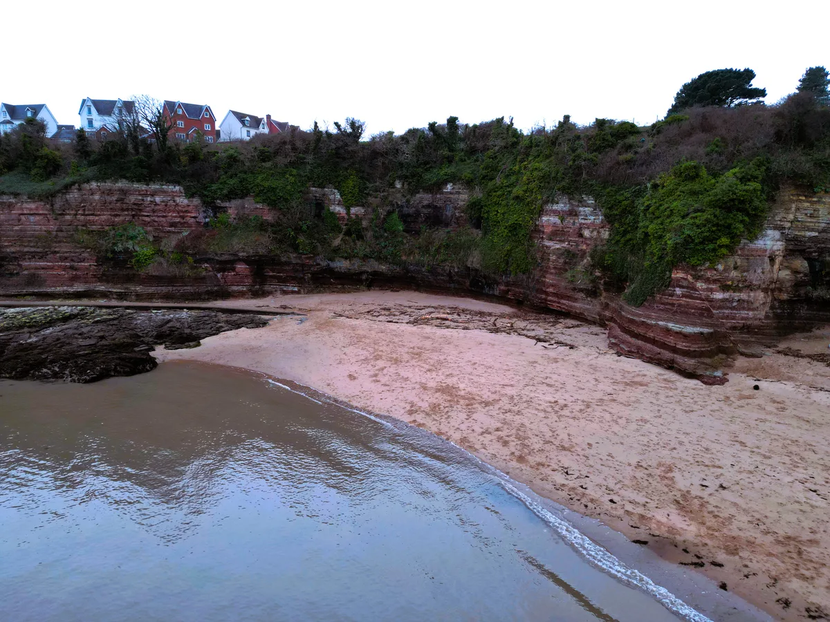
The Bendricks is a beach in the United Kingdom.

Graham Davies — CC BY-SA 2.0 via Wikimedia Commons licence
Plan your visit
- Typical visit
- 1 h–3 h
- Best time of year
- Summer (Jun–Aug)
- Nearest railway station
- Cadoxton · 1.8 km
- Free entry
- Family-friendly
- Dog-friendly
About
The Bendricks is a named beach on the United Kingdom coastline. Also known as: Y Bendricks. Coordinates: 51.3994°, -3.2328°. This entry is part of The Great Britain Guide, a free, ad-free, open-data tourist directory.
Photo gallery
From the Wikipedia article
The Bendricks is a stretch of coastline and an important paleontological site in the Vale of Glamorgan in south Wales located along the northern coast of the Bristol Channel between Barry and Sully at 51°23′46″N 3°14′50″W . It lies at the foreshore of the industrial port of Barry between the eastern breakwater of the Barry docks entrance on its western edge to Hayes Point on its eastern edge. This area of the coast is a Site of Special Scientific Interest.
Excerpt from Wikipedia under CC BY-SA 4.0. See the source article linked in Sources below.
Background
Visiting
The Bendricks can be accessed via a path which follows the outside of the security fence round HMS Cambria at Hayes Point, Sully or by following the coastal path in a south-westerly direction from the public slipway at the Vale of Glamorgan recycling centre at Hayes Road, Sully. The footprints can be difficult to see. Many are covered at high tide so it is easier to see them after high tide when the tracks may retain small puddles of water. It is also easier to spot the footprints when the sun is low in the sky as longer shadows will help throw the footprints into relief. There is a small residential street known as Bendrick Road, consisting of around 50 houses.
Sourced from Wikipedia under CC BY-SA 4.0.
- Coordinates
- 51.3994, -3.2328
- District
- Vale of Glamorgan
- Parish
- Sully and Lavernock
- Postcode
- CF64 5QH
- Parliamentary constituency
- Cardiff South and Penarth
- Nearest railway station
- Cadoxton — 1.8 km
Sources
- osm: w492394413 (ODbL)
- wikipedia: The Bendricks (CC BY-SA 4.0)
Other places nearby
Loading nearby places…
Nearby
 📷 5
📷 5Windmills · South Wales
Hayes Farm Windmill
Hayes Farm Windmill — Grade II listed building-listed windmill in wales-south, United Kingdom.
📷 3Windmills · South Wales
Hayes Farm Mill (ruin)
Hayes Farm Mill (ruin) is a windmill in the United Kingdom.
 📷 3
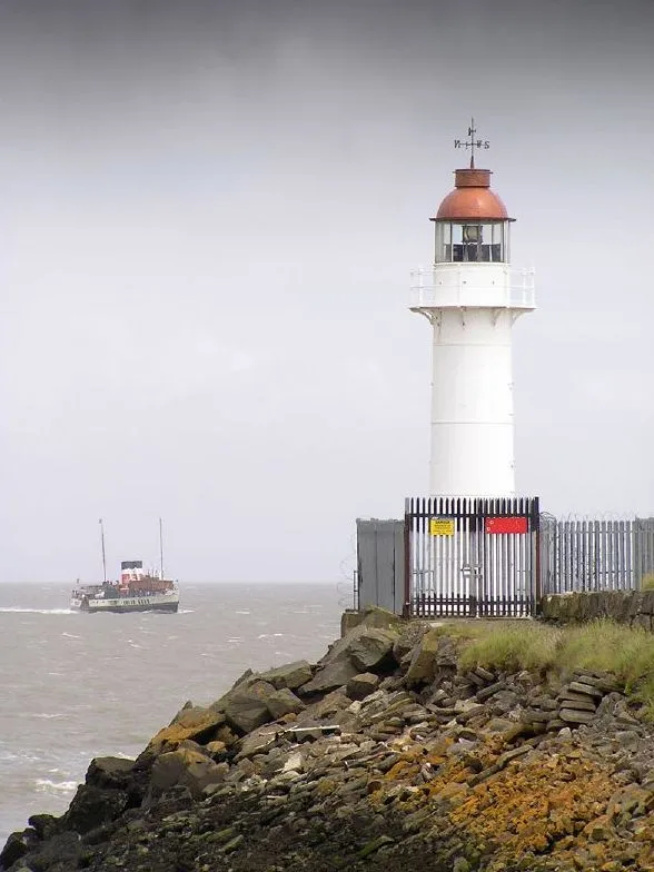
📷 3Lighthouses · South Wales
Barry Lighthouse
Barry Lighthouse — lighthouse in Barry, Vale of Glamorgan, Wales.
 📷 4
📷 4Gardens · South Wales
Barry Dock Offices
Barry Dock Offices — a garden in wales-south, United Kingdom.
Caravan parks · South Wales
Island View Caravan Park
Island View Caravan Park — a caravan park in wales south.
 📷 3
📷 3Mountains & hills · South Wales
Jackson's Bay
Jackson's Bay is a mountain or hill in the United Kingdom.
More beaches in this region
 📷 3
📷 3Beaches · South Wales
ABCC Meeting Point
ABCC Meeting Point is a beach in the United Kingdom.
 📷 3
📷 3Beaches · South Wales
Aber Castle
Aber Castle is a beach in the United Kingdom.
 📷 3
📷 3Beaches · South Wales
Aber Mawr
Aber Mawr is a beach in the United Kingdom.
 📷 4
📷 4Beaches · South Wales
Aberavon Beach
Aberavon Beach is a beach in the United Kingdom.
Frequently asked questions
- Where is The Bendricks?
- The Bendricks is in South Wales, United Kingdom (postcode CF64 5QH), in the parish of Sully and Lavernock.
- Is The Bendricks free to visit?
- Yes, The Bendricks is free to enter.
- How do I get to The Bendricks?
- The nearest railway station is Cadoxton, about 1.8 km away. Drivers can navigate to postcode CF64 5QH.