Beaches · North West England
Taylor's Bank
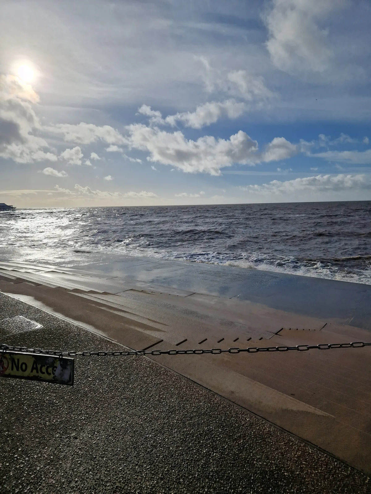
Taylor's Bank is a beach in the United Kingdom.

William Starkey — CC BY-SA 2.0 via Wikimedia Commons licence
Plan your visit
- Typical visit
- 1 h–3 h
- Best time of year
- Summer (Jun–Aug)
- Nearest railway station
- Formby · 3.8 km
- Free entry
- Family-friendly
- Dog-friendly
About
Taylor's Bank is a beach on the coast of North-West England. The site is a designated Site of Special Scientific Interest, and is a Ramsar wetland of international importance. It sits within the Sefton Central parliamentary constituency. The nearest railway station is Formby, about 3.8 km away. Postcode area L37.
Photo gallery
Protected designations
- Site of Special Scientific Interest: Sefton Coast SSSI
- Ramsar wetland: Ribble & Alt Estuaries
Designations sourced from Natural England open data under OGL v3.
From the Wikipedia article
The River Mersey () is a major river in North West England. Its name derives from Old English and means "boundary river", possibly referring to its having been a border between the ancient kingdoms of Mercia and Northumbria. For centuries it has formed part of the boundary between the historic counties of Lancashire and Cheshire. The Mersey is currently regarded as starting at the confluence of the River Tame and River Goyt in the centre of Stockport. However, older definitions, and many older maps, place its start at the confluence of the Etherow and Goyt, near Marple, about 4 miles (6.4 km) further upstream. It flows westwards through south Manchester, then into the Manchester Ship Canal near Irlam Locks, becoming a part of the canal and maintaining its water levels. After 4 miles (6.4 km) it exits the canal, flowing towards Warrington where it widens. It then narrows as it passes between Runcorn and Widnes. The river widens into a large estuary, which is 3 miles (4.8 km) across at its widest point near Ellesmere Port. The course of the river then turns northwards as the estuary narrows between Liverpool and Birkenhead on the Wirral Peninsula to the west, and empties into Liverpool Bay. In total the river flows 69 miles (111 km). Part of the Mersey Railway, a rail tunnel between Birkenhead and Liverpool opened in 1886. Two road tunnels pass under the estuary from Liverpool: the Queensway Tunnel opened in 1934 connecting the city to Birkenhead, and the Kingsway Tunnel, opened in 1971, to Wallasey. A road bridge, completed in 1961 and later named the Silver Jubilee Bridge, crosses between Runcorn and Widnes, adjacent to the Runcorn Railway Bridge which opened in 1868. A second road bridge, the Mersey Gateway, opened in October 2017, carrying a six-lane road connecting Runcorn's Central Expressway with Speke Road and Queensway in Widnes. The Mersey Ferry operates between the Pier Head in Liverpool and Woodside in Birkenhead and Seacombe, and has become a tourist…
Excerpt from Wikipedia under CC BY-SA 4.0. See the source article linked in Sources below.
- Coordinates
- 53.5319, -3.1151
- District
- Sefton
- Parish
- Formby
- Postcode
- L37 2EJ
- Parliamentary constituency
- Sefton Central
- Nearest railway station
- Formby — 3.8 km
Sources
- osm: n5167209021 (ODbL)
- wikipedia: Taylor's Bank (CC BY-SA 4.0)
Featured in this guide
Other places nearby
Loading nearby places…
Nearby
 📷 2
📷 2Museums · North West England
Ionic Star (Shipwreck)
Ionic Star (Shipwreck) — a museum in england-north-west, United Kingdom.
 📷 3
📷 3Historic houses · North West England
Formby Lifeboat Station
Formby Lifeboat Station — a historic house in england-north-west, United Kingdom.
 📷 3
📷 3Wildlife reserves · North West England
Cabin Hill National Nature Reserve
Cabin Hill National Nature Reserve in England North West, United Kingdom.
Caravan parks · North West England
Formby Point Caravan Park
Formby Point Caravan Park — a caravan park in england north west.
 📷 3
📷 3Wildlife reserves · North West England
Formby Red Squirrel Reserve
Formby Red Squirrel Reserve — Varied habitats including woodland and beach.
 📷 3
📷 3Lighthouses · North West England
Formby Lighthouse
Formby Lighthouse is a lighthouse in the United Kingdom.
More beaches in this region
 📷 3
📷 3Beaches · North West England
Blackpool Sands
Blackpool Sands — beach in Blackpool, Lancashire, England.
 📷 3
📷 3Beaches · North West England
Car Park Beach
Car Park Beach is a beach in the United Kingdom.
 📷 3
📷 3Beaches · North West England
Creek Beach North
Creek Beach North is a beach in the United Kingdom.
📷 3Beaches · North West England
Creek Beach South
Creek Beach South is a beach in the United Kingdom.
Frequently asked questions
- Where is Taylor's Bank?
- Taylor's Bank is in North-West England, United Kingdom (postcode L37 2EJ), in the parish of Formby.
- Is Taylor's Bank a protected site?
- Yes — Taylor's Bank is part of the Sefton Coast SSSI Site of Special Scientific Interest and the Ribble & Alt Estuaries Ramsar wetland.
- Is Taylor's Bank free to visit?
- Yes, Taylor's Bank is free to enter.
- How do I get to Taylor's Bank?
- The nearest railway station is Formby, about 3.8 km away. Drivers can navigate to postcode L37 2EJ.