Cemeteries · South East England
Tadley Cemetery
Also known as: Tadley
Tadley Cemetery is a cemetery in the United Kingdom.

Michael Garlick — CC BY-SA 2.0 via Wikimedia Commons licence
Plan your visit
- Typical visit
- 30 min–1 h
- Nearest railway station
- Bramley · 5.8 km
- Free entry
- Dog-friendly
About
Tadley Cemetery is a cemetery in Hampshire, South-East England of architectural and local-history note. The site is within the North Wessex Downs National Landscape (AONB). It sits within the North West Hampshire parliamentary constituency. The nearest railway station is Bramley, about 5.8 km away. Postcode area RG26.
Photo gallery
Protected designations
- Area of Outstanding Natural Beauty: North Wessex Downs
Designations sourced from Natural England open data under OGL v3.
From the Wikipedia article
Tadley is a town and civil parish in the Basingstoke and Deane district of Hampshire, England, 5.5 miles (8.9 km) north of Basingstoke and 11 miles (17 km) south west of Reading. During the 1950s and 1960s, the Atomic Weapons Research Establishment (AWRE), now known as AWE, became the area's largest employer, and many houses were built during this period to accommodate AWRE workers. Though the establishment was located in the parish of Aldermaston, most of these houses were built in Tadley.
Excerpt from Wikipedia under CC BY-SA 4.0. See the source article linked in Sources below.
Background
History
The origin of the name is uncertain. In old maps and books Tadley can be found spelled as Taddanleage, Tederlei, Titherley, Tudurley, Tadel and Taddeley. As with many other rural British communities, it is assumed that the village began as a clearing in the dense forest which at one time covered the greater part of England. In Old English, Tadde means 'Toad' or 'Frog' and ley being 'a clearing in the woods', so it possibly means "a clearing in the woods with frogs". Most sources, however, say that the name means "woodland clearing of a man called Tada". In 909, Edward the Elder granted the 'Manor of Overton' to Frithestan, Bishop of Winchester. In the confirmation of this a wood at Tadley…
Sourced from Wikipedia under CC BY-SA 4.0.
- Coordinates
- 51.3357, -1.1438
- County
- Hampshire
- District
- Basingstoke and Deane
- Parish
- Tadley
- Postcode
- RG26 3AX
- Parliamentary constituency
- North West Hampshire
- Nearest railway station
- Bramley — 5.8 km
- Official site
- www.neighbourhood.statistics.gov.uk
Sources
Other places nearby
Loading nearby places…
Nearby
📷 5Cemeteries · South East England
Tadley Burial Ground
Tadley Burial Ground is a cemetery in the United Kingdom.
 📷 2
📷 2Historic bridges · South East England
Bridge And Walling To Moat
Bridge And Walling To Moat — Grade II listed building-listed bridge in england-south-east, United Kingdom.
 📷 5
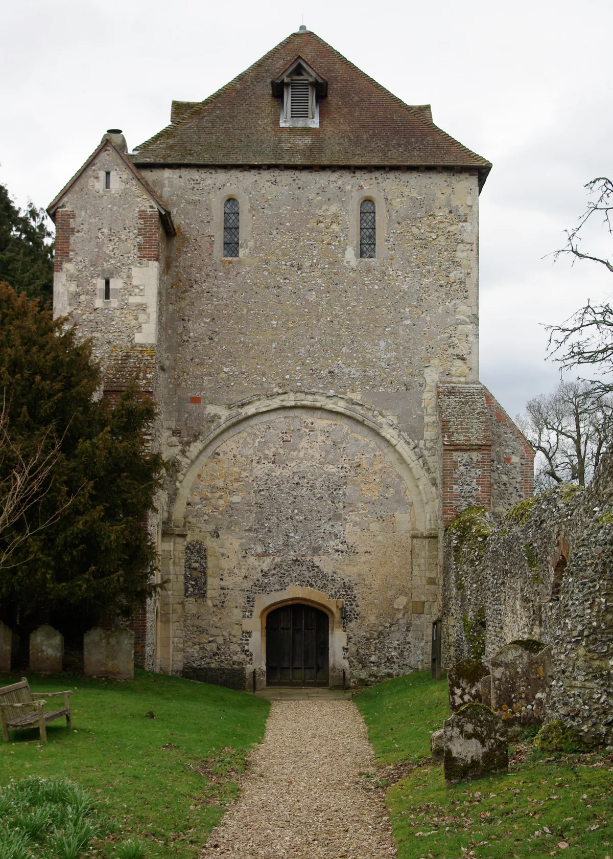
📷 5Historic churches · South East England
Pamber Priory
Pamber Priory — Grade I listed church in Monk Sherborne, Basingstoke and Deane, Hampshire, England, UK.
 📷 5
📷 5Theatres · South East England
Cinema Royal
Cinema Royal in England South East, United Kingdom.
Mountain bike trails · South East England
Pamber Forest Bridleway
Pamber Forest Bridleway — a mtb trail in england south east.
 📷 5
📷 5Memorials & monuments · South East England
War Memorial
War Memorial is a memorial in the United Kingdom.
More cemeteries in this region
 📷 5
📷 5Cemeteries · South East England
All Saints Cemetery
All Saints Cemetery is a cemetery in the United Kingdom.
 📷 5
📷 5Cemeteries · South East England
Ann's Hill Cemetery
Ann's Hill Cemetery is a cemetery in the United Kingdom.
 📷 5
📷 5Cemeteries · South East England
Ann's Hill Cemetery
Ann's Hill Cemetery is a cemetery in the United Kingdom.
 📷 5
📷 5Cemeteries · South East England
Ash Cemetery
Ash Cemetery is a cemetery in the United Kingdom.
Frequently asked questions
- Where is Tadley Cemetery?
- Tadley Cemetery is in Hampshire, South-East England, United Kingdom (postcode RG26 3AX), in the parish of Tadley.
- Is Tadley Cemetery a protected site?
- Yes — Tadley Cemetery is part of the North Wessex Downs National Landscape (AONB).
- How do I get to Tadley Cemetery?
- The nearest railway station is Bramley, about 5.8 km away. Drivers can navigate to postcode RG26 3AX.