Public art & sculpture · West Midlands
Sutton Coldfield
Sutton Coldfield — a public art in england-west-midlands, United Kingdom.

Robin Stott — CC BY-SA 2.0 via Wikimedia Commons licence
Plan your visit
- Typical visit
- 1 h–2 h
- Free entry
- Dog-friendly
About
Sutton Coldfield is a public art located in england-west-midlands, United Kingdom. Sourced from OpenStreetMap (ODbL licence); see local listings for visitor information, opening hours and admission details.
Photo gallery
From the Wikipedia article
Sutton Coldfield ( SUT-ən KOHLD-feeld ) is a town and civil parish in the city of Birmingham, West Midlands, England. The town lies around 7 miles northeast of Birmingham city centre, 8 miles south of Lichfield, 7 miles southwest of Tamworth, and 7 miles east of Walsall. Sutton Coldfield and its surrounding suburbs are governed under Birmingham City Council for local government purposes but the town has its own town council which governs the town and its surrounding areas by running local services and electing a mayor to the council. It is in the historic county of Warwickshire, and in 1974 it became part of Birmingham and the West Midlands metropolitan county under the Local Government Act 1972.
Excerpt from Wikipedia under CC BY-SA 4.0. See the source article linked in Sources below.
Background
History
Sutton Coldfield has been an affluent area in the past leading to the construction of manors and other large houses. Several have been renovated into hotels such as the New Hall Hotel, Moor Hall Hotel, Moxhull Hall Hotel, and Ramada Hotel and Resort Penns Hall. Peddimore Hall, a Scheduled Ancient Monument near Walmley, is a double-moated hall used as a private residence. Demolished manor houses include Langley Hall, the former residence of William Wilson and Four Oaks Hall, designed by William Wilson. William Wilson is also known to have designed Moat House and lived in it with his wife, Jane Pudsey. It is Grade II* listed.
Description
Birmingham has 4,153 hectares of green belt, about 15% of the city's land area. The majority of this is in the north of the city, particularly to the north and east of Sutton Coldfield. The current green belt within Birmingham was initially installed in place in 1955 and was last reviewed around 20 years ago, since then the boundaries have remained unchanged. Sutton Coldfield's green belt is being extensively developed with over 5500 houses to be built and a large industrial complex currently under construction. The Langley Sustainable Urban Extension (SUE) and the 71 hectare Peddimore site have been approved and will destroy much of the green belt.
Sourced from Wikipedia under CC BY-SA 4.0.
- Coordinates
- 52.5453, -1.8313
- District
- Birmingham
- Parish
- Sutton Coldfield
- Postcode
- B73 5LA
- Parliamentary constituency
- Sutton Coldfield
Sources
- osm: node/10981159668 (ODbL)
- wikipedia: Sutton Coldfield (CC BY-SA 4.0)
Other places nearby
Loading nearby places…
Nearby
 📷 3
📷 3Theatres · West Midlands
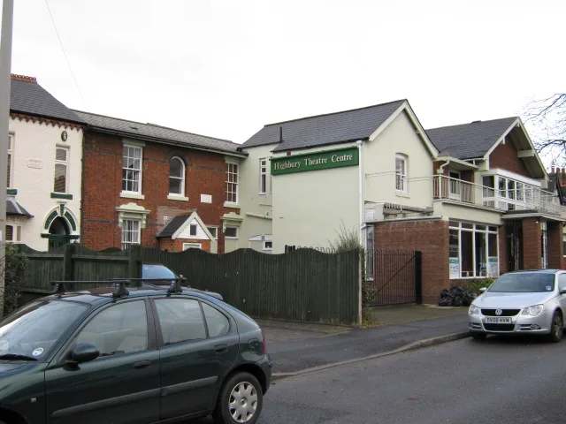
Highbury Little Theatre
Highbury Little Theatre is a theatre in the United Kingdom.
 📷 3
📷 3Historic churches · West Midlands
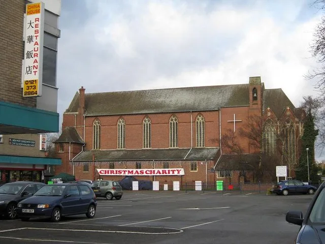
Emmanuel Church, Wylde Green
Emmanuel Church, Wylde Green — church in Wylde Green, Sutton Coldfield, West Midlands, England, UK.
 📷 5
📷 5Natural landmarks · West Midlands
Anstey College of Physical Education
Anstey College of Physical Education — a school heritage in england-west-midlands, United Kingdom.
 📷 4
📷 4Theatres · West Midlands
Odeon Cinema, Sutton Coldfield
Odeon Cinema, Sutton Coldfield in England West Midlands, United Kingdom.
 📷 3
📷 3Historic pubs · West Midlands
The Duke Inn
The Duke Inn — Historic pub — listed building or notable heritage status.
 📷 3
📷 3Parks · West Midlands
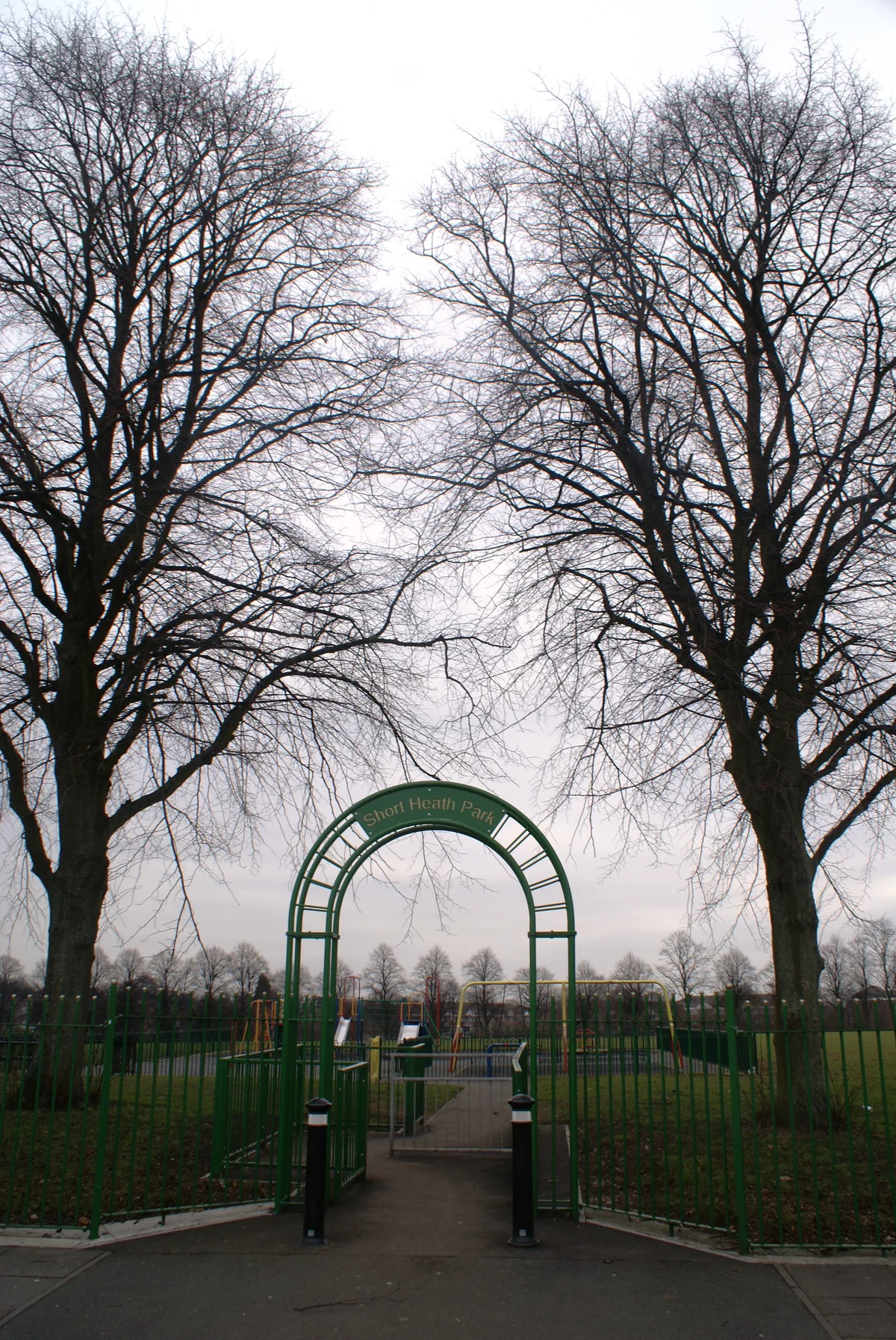
Short Heath Park
Short Heath Park — public park in Birmingham, United Kingdom.
More places in this region
 📷 5
📷 5Public art & sculpture · West Midlands
Boulton, Watt and Murdoch
Boulton, Watt and Murdoch in England West Midlands, United Kingdom.
 📷 4
📷 4Public art & sculpture · West Midlands
Chinese Pagoda
Chinese Pagoda in England West Midlands, United Kingdom.
 📷 4
📷 4Public art & sculpture · West Midlands
Equestrian statue of George I
Equestrian statue of George I in England West Midlands, United Kingdom.
 📷 3
📷 3Public art & sculpture · West Midlands
Perseus and Andromeda Fountain
Perseus and Andromeda Fountain in England West Midlands, United Kingdom.
Frequently asked questions
- Where is Sutton Coldfield?
- Sutton Coldfield is in the West Midlands, United Kingdom (postcode B73 5LA), in the parish of Sutton Coldfield.
- Is Sutton Coldfield free to visit?
- Yes, Sutton Coldfield is free to enter.
- How do I get to Sutton Coldfield?
- Drivers can navigate to postcode B73 5LA. It sits within the Sutton Coldfield parliamentary constituency.