Forests & woodlands · East Midlands
Sunrise Hill
Sunrise Hill is a forest or woodland in the United Kingdom.

Roger Templeman — CC BY-SA 2.0 via Wikimedia Commons licence
Plan your visit
- Typical visit
- 1 h–3 h
- Nearest railway station
- Bulwell · 2.3 km
- Free entry
- Family-friendly
- Dog-friendly
About
Sunrise Hill is a named forest, woodland or nature reserve in the United Kingdom. Coordinates: 52.9956°, -1.1619°. This entry is part of The Great Britain Guide, a free, ad-free, open-data tourist directory.
Photo gallery
Place summary
Sunrise Hill is a forest located in the East Midlands, within the unparished area of Nottingham. This area is known for its natural beauty and provides a tranquil environment for walking and wildlife observation.
AI-generated from the structured facts on this page (operator, designation, listing, era). Not a substitute for visiting.
- Coordinates
- 52.9956, -1.1619
- District
- Nottingham
- Parish
- Nottingham, unparished area
- Postcode
- NG5 5HW
- Parliamentary constituency
- Nottingham North and Kimberley
- Nearest railway station
- Bulwell — 2.3 km
- Official site
- www.nottinghamparks.co.uk
Sources
- osm: w120066694 (ODbL)
Other places nearby
Loading nearby places…
Nearby
 📷 3
📷 3Memorials & monuments · East Midlands
George Brough (1890-1970)
George Brough (1890-1970) — a memorial in england-east-midlands, United Kingdom.
 📷 3
📷 3Memorials & monuments · East Midlands
Scout War Memorial Gateway
Scout War Memorial Gateway — Grade II listed building-listed memorial in england-east-midlands, United Kingdom.
 📷 3
📷 3Theatres · East Midlands
New Perspectives Theatre Company
New Perspectives Theatre Company is a theatre in the United Kingdom.
 📷 3
📷 3Historic churches · East Midlands
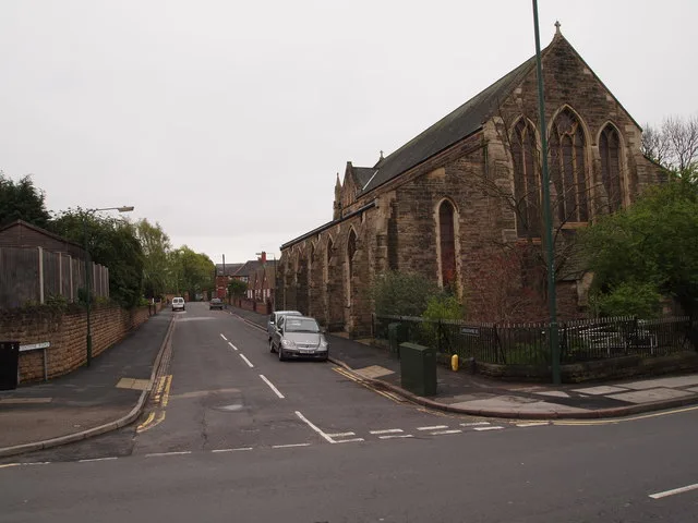
St. Aidan's Church, Basford
St. Aidan's Church, Basford — church in United Kingdom.
 📷 5
📷 5Historic churches · East Midlands
Masjid Al-Kharza
Masjid Al-Kharza — a church in england-east-midlands, United Kingdom.
 📷 3
📷 3Historic churches · East Midlands
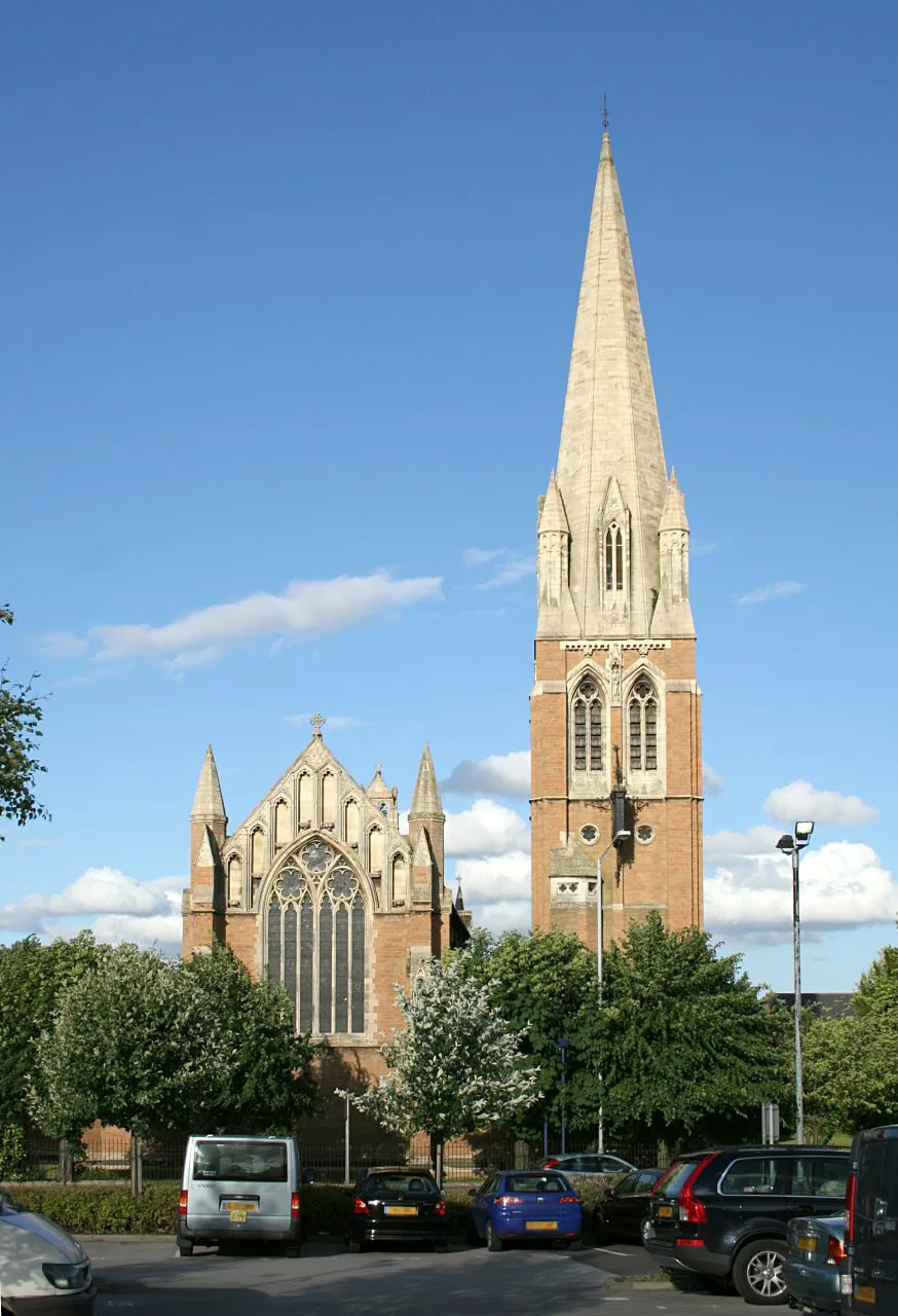
St. Paul's Church, Daybrook
St. Paul's Church, Daybrook — church in Gedling, Nottinghamshire, England, UK.
More forests in this region
 📷 5
📷 5Forests & woodlands · East Midlands
Attenborough Nature Reserve
Attenborough Nature Reserve is a forest or woodland in the United Kingdom.
 📷 3
📷 3Forests & woodlands · East Midlands
Booton Common
Booton Common is a forest or woodland in the United Kingdom.
 📷 3
📷 3Forests & woodlands · East Midlands
Brown End Quarry
Brown End Quarry is a forest or woodland in the United Kingdom.
 📷 3
📷 3Forests & woodlands · East Midlands
Buxton Heath
Buxton Heath is a forest or woodland in the United Kingdom.
Frequently asked questions
- Where is Sunrise Hill?
- Sunrise Hill is in the East Midlands, United Kingdom (postcode NG5 5HW), in the parish of Nottingham, unparished area.
- Is Sunrise Hill free to visit?
- Yes, Sunrise Hill is free to enter.
- How do I get to Sunrise Hill?
- The nearest railway station is Bulwell, about 2.3 km away. Drivers can navigate to postcode NG5 5HW.