Towns & cities · South East England
Studland
Studland — village and civil parish in Dorset, England.

Wikimedia Commons contributors — see linked file page for photographer and licence licence
Plan your visit
- Typical visit
- 3 h–6 h
- Nearest railway station
- Swanage · 3.6 km
- Free entry
- Family-friendly
- Dog-friendly
About
Studland is a town, city, village or settlement in the United Kingdom. Recent population estimates put it at around 406 people. Address: BH19. Wikidata describes it as: "village and civil parish in Dorset, England". Coordinates: 50.6422°, -1.9505°.
Photo gallery
Protected designations
- Site of Special Scientific Interest: Studland & Godlingston Heaths SSSI
- National Nature Reserve: PURBECK HEATHS
- Area of Outstanding Natural Beauty: Dorset
Designations sourced from Natural England open data under OGL v3.
From the Wikipedia article
Studland is a village and civil parish on the Isle of Purbeck in Dorset, England. The village is located about 2 miles (3.2 km) north of the town of Swanage, over a steep chalk ridge, and 3 miles (4.8 km) south of the South East Dorset conurbation at Sandbanks, from which it is separated by Poole Harbour. The parish includes Brownsea Island within the harbour. In the 2011 census the parish had 182 households and a population of 425, though many of the houses in the village are holiday homes, second homes, or guest houses, and the village's population varies depending upon the season. Studland is famous for its beaches and nature reserve.
Excerpt from Wikipedia under CC BY-SA 4.0. See the source article linked in Sources below.
Background
History
The existence of salt pans and salt workers at Studland is recorded in the Domesday Book of 1086. St Nicholas' Church, dedicated to the patron saint of sailors, is built on the site of an earlier Saxon building which was destroyed by the Danes in the 9th century, and had itself been constructed on an earlier, possibly pre-Christian foundation. Records from 1340 show that fishing was an important industry in Studland in the 14th century. In 1381 records show a castle existed on the cliffs at Handfast Point to the east of the village. By the 16th century this had been replaced with another castle, which existed until at least the 18th century when a blockhouse was added to it. Today nothing…
Description
Studland is sited in the lee of Ballard Down, close to the east-facing Studland Bay, a 2.5 mi long curved sweep of sandy beaches backed by dunes and heathland. The beaches are named South Beach, Middle Beach and Knoll Beach, with another at Shell Bay to the north. Although a coastal village, the houses in Studland are mostly sited a few hundred metres inland. At the start of the twentieth century Sir Frederick Treves described the village as "a medley of country lanes, lost among trees, with a few thatch-roofed cottages dotted about in a wild garden of brambles, ferns, and gorse". He noted that Studland had "no pretence to a quay", but rather "turns its face from the sea to bury it among…
Sourced from Wikipedia under CC BY-SA 4.0.
- Coordinates
- 50.6422, -1.9505
- District
- Dorset
- Parish
- Studland
- Postcode
- BH19
- Parliamentary constituency
- South Dorset
- Population
- 406
- Nearest railway station
- Swanage — 3.6 km
- Official site
- www.isleofpurbeck.com
Sources
- wikidata: Q385621 (CC0)
- wikipedia: Studland (CC BY-SA 4.0)
- commons: Studland, the post office and stores - geograph.org.uk - 1365131.jpg (CC BY-SA 4.0)
Featured in this guide
Other places nearby
Loading nearby places…
Nearby
 📷 5
📷 5Forts · South East England
Fort Henry
Fort Henry — a other in england-south-east, United Kingdom.
 📷 5
📷 5Beaches · South East England
South Beach
South Beach is a beach in the United Kingdom.
 📷 5
📷 5Burial mounds & barrows · South East England
King Barrow
King Barrow — a burial mound in england-south-east, United Kingdom.
 📷 5
📷 5Beaches · South East England
Knoll Beach
Knoll Beach is a beach in the United Kingdom.
 📷 5
📷 5Natural landmarks · South East England
Agglestone Rock
Agglestone Rock — a other in england-south-east, United Kingdom.
 📷 5
📷 5Mountains & hills · South East England
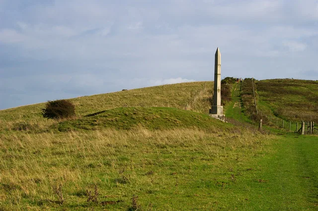
Ballard Down
Ballard Down — Named summit at 160 m.
More towns in this region
 Flagship📷 10
Towns & cities · South East England
Aldermaston
Aldermaston — village and civil parish in West Berkshire in England, UK.
 Flagship📷 10
Towns & cities · South East England
Aldingbourne
Aldingbourne — village and civil parish in Arun, West Sussex, UK.
 Flagship📷 10
Towns & cities · South East England
Aldington
Aldington — village and civil parish in the Ashford District of Kent, England.
 Flagship📷 10
Towns & cities · South East England
Aldworth
Aldworth — village and civil parish in the English county of Berkshire.
Frequently asked questions
- Where is Studland?
- Studland is in South-East England, United Kingdom (postcode BH19), in the parish of Studland.
- Is Studland a protected site?
- Yes — Studland is part of the Studland & Godlingston Heaths SSSI Site of Special Scientific Interest and the PURBECK HEATHS National Nature Reserve.
- Is Studland free to visit?
- Yes, Studland is free to enter.
- How do I get to Studland?
- The nearest railway station is Swanage, about 3.6 km away. Drivers can navigate to postcode BH19.