Towns & cities · Central Scotland
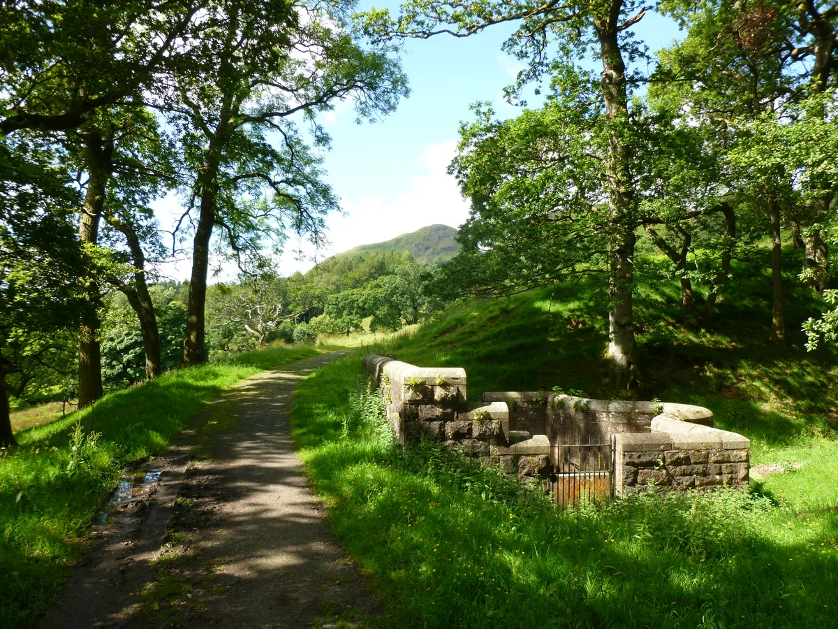
Strathblane
Strathblane — village in Stirling, Scotland, UK.

Wikimedia Commons contributors — see linked file page for photographer and licence licence
Plan your visit
- Typical visit
- 3 h–6 h
- Nearest railway station
- Milngavie · 5.0 km
- Free entry
- Family-friendly
- Dog-friendly
About
Strathblane is a town, city, village or settlement in the United Kingdom. It covers approximately 17 km². Recent population estimates put it at around 1,990 people. Wikidata describes it as: "village in Stirling, Scotland, UK". Coordinates: 55.9865°, -4.3061°.
Photo gallery
From the Wikipedia article
Strathblane (Scottish Gaelic: Strath Bhlàthain, pronounced [s̪t̪ɾahˈvl̪ˠaː.ɪɲ]) is a village and parish in the registration county of Stirling, situated in the southwestern part of the Stirling council area, in central Scotland. It lies at the foothills of the Campsie Fells and the Kilpatrick Hills on the Blane Water, 12 miles (19 km) north of Glasgow, 14 miles (23 km) east-southeast of Dumbarton, and 20 miles (32 km) southwest of Stirling. Strathblane is a dormitory village for Greater Glasgow, and has a total resident population of 1,811. Historically, Strathblane was the name of a parish in Stirlingshire which comprised three villages: Edenkill, Netherton and Mugdock. Mugdock was the ancient seat of the Earls of Lennox, and to the east of Strathblane lies the town of Lennoxtown. Blanefield is a settlement contiguous with Strathblane's northwestern fringe. To the west is the volcanic plug Dumgoyne, Glengoyne Distillery and the Trossachs National Park. The West Highland Way—a long-distance trail—passes close to the village. The Gaelic name Strath Bhlàthain translates to English as "the valley of the Blane", with reference to the Blane Water, a watercourse. The Blane Water (Uisge Bhlàthain) has also been referred to as Beul-abhainn (Scottish Gaelic pronunciation: [ˈpial̪ˠa.ɪɲ]) meaning "mouth-river" after the numerous burns merging. One of its tributaries, the Ballagan Burn passes over the waterfall the Spout of Ballagan which shows 192 alternate strata of coloured shales and limestone (including pure alabaster). The Blane flows into the Endrick, which, in its turn, flows westward to Loch Lomond.
Excerpt from Wikipedia under CC BY-SA 4.0. See the source article linked in Sources below.
Background
History
Historian William Forbes Skene suggested Strathblane to have been the site of the battle between the Britons and Picts in the year 750, during which Talorgan son of Fergus, brother of Óengus I of the Picts, was slain. The Annales Cambriae and Annals of Ulster refer to the battlefield as "Mocetauc" or "Catohic" respectively, which Skene and others have suggested referred to Mugdock, a locality at the edge of Lennox, within the parish of Strathblane. A rise in population during the early 19th century was due in part to the development of a large calico printfield at Blanefield (employing 78 adults and 45 children under 14) and two bleachfields at Dumbrock (employing 67 adults and 14 children…
Sourced from Wikipedia under CC BY-SA 4.0.
- Coordinates
- 55.9865, -4.3061
- District
- Stirling
- Postcode
- G63 9DB
- Parliamentary constituency
- Stirling and Strathallan
- Population
- 1,990
- Nearest railway station
- Milngavie — 5 km
Sources
- wikidata: Q1010547 (CC0)
- wikipedia: Strathblane (CC BY-SA 4.0)
- commons: Strathblane Parish Church - geograph.org.uk - 925386.jpg (CC BY-SA 4.0)
Other places nearby
Loading nearby places…
Nearby
 📷 5
📷 5Historic churches · Central Scotland
Parish Church and Churchyard, Strathblane Road, Strathblane
Parish Church and Churchyard, Strathblane Road, Strathblane — category B listed building-listed church in scotland-central, United Kingdom.
 📷 3
📷 3Follies · Central Scotland
Edmonston Mausoleum
Edmonston Mausoleum is a folly in the United Kingdom.
Hotels · Central Scotland
Strathblane Country House
Strathblane Country House — a hotel in scotland central.
 📷 3
📷 3Memorials & monuments · Central Scotland
David Clay Shenton
David Clay Shenton — a memorial in scotland-central, United Kingdom.
 📷 3
📷 3Aqueducts · Central Scotland
Ballewan Byewash 1 (former Glasgow Corporation Water Works)
Ballewan Byewash 1 (former Glasgow Corporation Water Works) — architectural structure in Stirling, Scotland, UK.
 📷 3
📷 3Theatres · Central Scotland
Theatre & Conference Suite
Theatre & Conference Suite is a theatre in the United Kingdom.
More towns in this region
 Flagship📷 3
Towns & cities · Central Scotland
Airth
Airth — village in Falkirk, Scotland, UK.
 Flagship📷 5
Towns & cities · Central Scotland
Avonbridge
Avonbridge — village in Falkirk, Scotland, UK.
 Flagship📷 3
Towns & cities · Central Scotland
Banknock
Banknock — village in Falkirk, Scotland, UK.
 Flagship📷 3
Towns & cities · Central Scotland
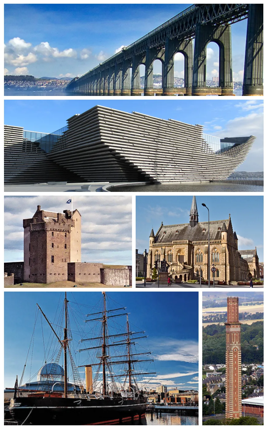
Dundee
Dundee — city in Scotland, UK.
Frequently asked questions
- Where is Strathblane?
- Strathblane is in central Scotland, United Kingdom (postcode G63 9DB).
- Is Strathblane free to visit?
- Yes, Strathblane is free to enter.
- How do I get to Strathblane?
- The nearest railway station is Milngavie, about 5.0 km away. Drivers can navigate to postcode G63 9DB.