Forts · West Midlands
Stow 1646
Stow 1646 is a fort in the United Kingdom.

Michael Dibb — CC BY-SA 2.0 via Wikimedia Commons licence
Plan your visit
- Typical visit
- 45 min–1.5 h
- Nearest railway station
- Moreton-in-Marsh · 4.8 km
About
Stow 1646 is a fortified site in Gloucestershire, the West Midlands. The site is within the Cotswolds National Landscape (AONB). It sits within the North Cotswolds parliamentary constituency. The nearest railway station is Moreton-in-Marsh, about 4.8 km away. Postcode area GL56.
Photo gallery
Protected designations
- Area of Outstanding Natural Beauty: Cotswolds
Designations sourced from Natural England open data under OGL v3.
Place summary
Stow 1646 is a fort located in Donnington, Gloucestershire, within the West Midlands. It is situated in an Area of Outstanding Natural Beauty (AONB) in the Cotswolds.
AI-generated from the structured facts on this page (operator, designation, listing, era). Not a substitute for visiting.
- Coordinates
- 51.9547, -1.7334
- County
- Gloucestershire
- District
- Cotswold
- Parish
- Donnington
- Postcode
- GL56 0YA
- Parliamentary constituency
- North Cotswolds
- Nearest railway station
- Moreton-in-Marsh — 4.8 km
Sources
- osm: n1466726546 (ODbL)
Other places nearby
Loading nearby places…
Nearby
 Flagship📷 3
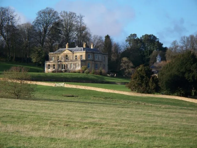
Stately homes · West Midlands
Banks Fee
Banks Fee — manor house in Longborough, Cotswold, Gloucestershire, England, UK.
 📷 3
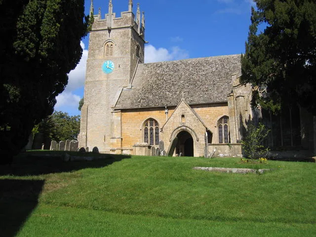
📷 3Historic churches · West Midlands
St James' Church, Longborough
St James' Church, Longborough — church in Longborough, Gloucestershire, England, UK.
 📷 3
📷 3Historic bridges · West Midlands
Bridge Over River Dickler
Bridge Over River Dickler — Grade II listed building-listed bridge in england-west-midlands, United Kingdom.
.jpg?width=1200) 📷 3
📷 3Historic houses · West Midlands
Manor House
Manor House — historic building in Swell, Cotswold District, Gloucestershire, England, United Kingdom.
 📷 5
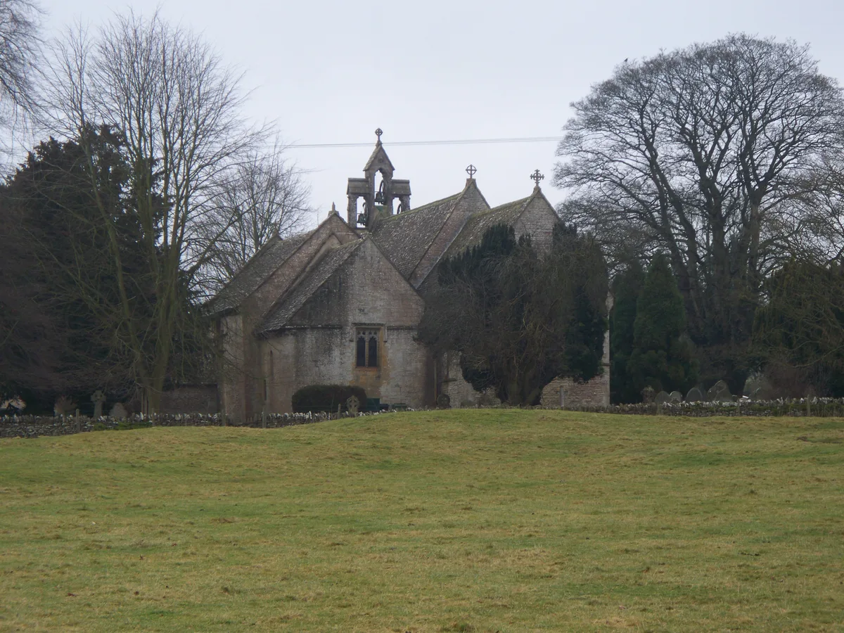
📷 5Historic churches · West Midlands
Church of St Mary, Swell
Church of St Mary, Swell — church in Swell Cotswold District Gloucestershire, England, UK.
 📷 3
📷 3Memorials & monuments · West Midlands
Row Of 6 Chadwell Monuments In The Churchyard Of The Church Of St Paul Circa 2 1/2 Metres South Of East End Of Chancel
Row Of 6 Chadwell Monuments In The Churchyard Of The Church Of St Paul Circa 2 1/2 Metres South Of East End Of Chancel — Grade II* listed building-listed memorial in england-west-midlands, United King
More forts in this region
 📷 3
📷 3Forts · West Midlands
Battle of Birmingham (Camp Hill) 1643
Battle of Birmingham (Camp Hill) 1643 — Battlefield site, dating to 1643-04-03.
 📷 3
📷 3Forts · West Midlands
Battle of Blore Heath (A.D. 1459)
Battle of Blore Heath (A.D. 1459) is a fort in the United Kingdom.
 📷 5
📷 5Forts · West Midlands
Battle of Bosworth 1485
Battle of Bosworth 1485 is a fort in the United Kingdom.
 📷 3
📷 3Forts · West Midlands
Battle of Chalgrove Field
Battle of Chalgrove Field — Battlefield site, dating to 1643-06-18.
Frequently asked questions
- Where is Stow 1646?
- Stow 1646 is in Gloucestershire, the West Midlands, United Kingdom (postcode GL56 0YA), in the parish of Donnington.
- Is Stow 1646 a protected site?
- Yes — Stow 1646 is part of the Cotswolds National Landscape (AONB).
- How do I get to Stow 1646?
- The nearest railway station is Moreton-in-Marsh, about 4.8 km away. Drivers can navigate to postcode GL56 0YA.