Towns & cities · London
Stoke Poges
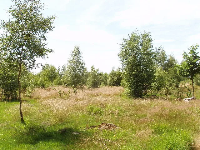
Stoke Poges — village and civil parish in Buckinghamshire, England, UK.

Wikimedia Commons contributors — see linked file page for photographer and licence licence
Plan your visit
- Typical visit
- 3 h–6 h
- Nearest railway station
- Slough · 3.8 km
- Free entry
- Family-friendly
- Dog-friendly
About
Stoke Poges is a town, city, village or settlement in the United Kingdom. It covers approximately 10 km². Recent population estimates put it at around 4,414 people. Address: SL2. Wikidata describes it as: "village and civil parish in Buckinghamshire, England, UK". Coordinates: 51.5460°, -0.5840°.
Photo gallery
Protected designations
- Area of Outstanding Natural Beauty: Chilterns
Designations sourced from Natural England open data under OGL v3.
From the Wikipedia article
Stoke Poges () is a village and civil parish in south-east Buckinghamshire, England. It is centred 3 miles (5 km) north-north-east of Slough, its post town, and is 2 miles (3 km) southeast of Farnham Common. In 2021, it had a population of 5,067.
Excerpt from Wikipedia under CC BY-SA 4.0. See the source article linked in Sources below.
- Coordinates
- 51.5460, -0.5840
- District
- Buckinghamshire
- Parish
- Stoke Poges
- Postcode
- SL2
- Parliamentary constituency
- Beaconsfield
- Population
- 4,414
- Nearest railway station
- Slough — 3.8 km
- Official site
- www.stoke-poges.com
Sources
- wikidata: Q302613 (CC0)
- wikipedia: Stoke Poges (CC BY-SA 4.0)
- commons: Rogers Lane, Stoke Poges - geograph.org.uk - 5969287.jpg (CC BY-SA 4.0)
Other places nearby
Loading nearby places…
Nearby
 📷 5
📷 5Public art & sculpture · South East England
The Spirit of Peace
The Spirit of Peace in England South East, United Kingdom.
 📷 5
📷 5Memorials & monuments · London
Stoke and Wexham War Memorial
Stoke and Wexham War Memorial — Grade II listed building-listed memorial in england-london, United Kingdom.
Campsites · London
Walter Davies Scout Campsite
Walter Davies Scout Campsite — a campsite in england london.
 📷 5
📷 5Wildlife reserves · London
Stoke Common
Stoke Common — nature reserve in Buckinghamshire, England.
 📷 5
📷 5Memorials & monuments · London
Gray's Monument
Gray's Monument — Grade II* listed building-listed memorial in england-london, United Kingdom.
📷 5Memorials & monuments · London
Thomas Gray's memorial
Thomas Gray's memorial — a memorial in england-london, United Kingdom.
More towns in this region
 Flagship📷 10
Towns & cities · London
Aldenham
Aldenham — village and civil parish in Hertfordshire, England.
 Flagship📷 10
Towns & cities · London
Ashdon
Ashdon — village and civil parish in Essex, UK.
 Flagship📷 10
Towns & cities · London
Betchworth
Betchworth — village and civil parish in the Mole Valley district of Surrey, England.
 Flagship📷 10
Towns & cities · London
Boxley
Boxley — village and civil parish in Maidstone District, Kent, England, UK.
Frequently asked questions
- Where is Stoke Poges?
- Stoke Poges is in London, United Kingdom (postcode SL2), in the parish of Stoke Poges.
- Is Stoke Poges a protected site?
- Yes — Stoke Poges is part of the Chilterns National Landscape (AONB).
- Is Stoke Poges free to visit?
- Yes, Stoke Poges is free to enter.
- How do I get to Stoke Poges?
- The nearest railway station is Slough, about 3.8 km away. Drivers can navigate to postcode SL2.