Mountains & hills · Scottish Highlands
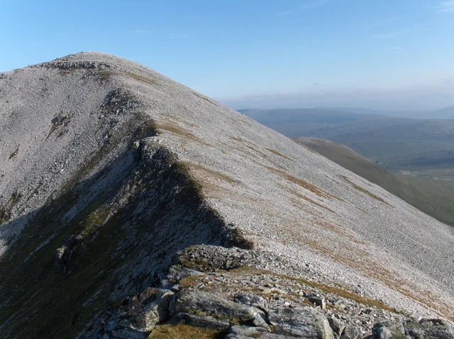
Stob Coire an Laoigh
Stob Coire an Laoigh — Named summit at 1117 m.

Wikimedia Commons contributors — see linked file page for photographer and licence licence
Plan your visit
- Typical visit
- 3 h–8 h
- Best time of year
- Late spring – early autumn (May–Oct)
- Nearest railway station
- Spean Bridge · 9.1 km
- Free entry
- Dog-friendly
About
Stob Coire an Laoigh is a named summit in the United Kingdom. Wikidata describes it as: "Named summit at 1117 m.". Coordinates: 56.8109°, -4.8849°.
Photo gallery
From the Wikipedia article
Stob Coire an Laoigh (Scottish Gaelic: Peak of the corrie of the calf) is a Scottish mountain in The Grey Corries Range, 15 kilometres north east of Kinlochleven. At an elevation of 1,116 metres (3,661 ft) Stob Coire an Laoigh is equal 37th in height (with Aonach Beag) on the Munro table.
Excerpt from Wikipedia under CC BY-SA 4.0. See the source article linked in Sources below.
- Coordinates
- 56.8109, -4.8849
- Address
- The Grey Corries, Scotland
- Nearest railway station
- Spean Bridge — 9.1 km
- Official site
- www.walkhighlands.co.uk
Sources
- osm: n255392114 (ODbL)
- wikipedia: Stob Coire an Laoigh (CC BY-SA 4.0)
- commons: Stob Coire an Laoigh - geograph.org.uk - 238703.jpg (CC BY-SA 4.0)
Other places nearby
Loading nearby places…
Nearby
 📷 3
📷 3Natural landmarks · Scottish Highlands
Stob Coire an Laoigh
Stob Coire an Laoigh — 1116m high mountain in Highland, Scotland, UK.
 📷 3
📷 3Mountains & hills · Scottish Highlands
Stob Coire Easain
Stob Coire Easain — Named summit at 1078 m.
 📷 3
📷 3Mountains & hills · Scottish Highlands
Caisteal
Caisteal — a mountain in scotland-highlands, United Kingdom.
📷 4Mountains & hills · Scottish Highlands
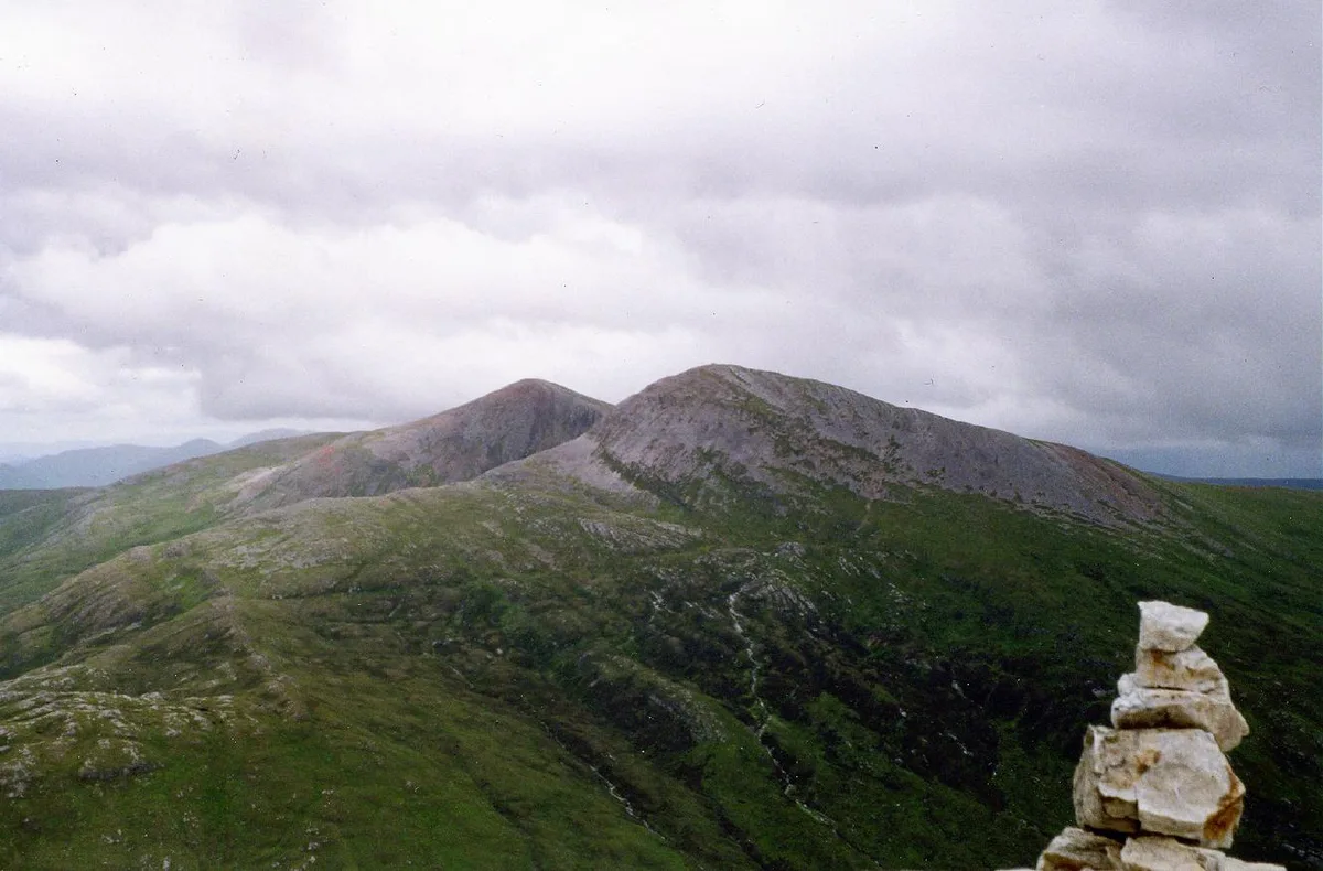
Grey Corries
Grey Corries in Scotland Islands, United Kingdom.
 📷 3
📷 3Mountains & hills · Scottish Highlands
Beinn na Socaich
Beinn na Socaich — a mountain in scotland-highlands, United Kingdom.
📷 3Mountains & hills · Scottish Highlands
Stob Coire Cath na Sine
Stob Coire Cath na Sine — a mountain in scotland-highlands, United Kingdom.
More mountains in this region
 📷 3
📷 3Mountains & hills · Scottish Highlands
A' Bhuidheanach Bheag
A' Bhuidheanach Bheag — Named summit at 936 m.
 📷 3
📷 3Mountains & hills · Scottish Highlands
A' Chailleach
A' Chailleach — Named summit at 997 m.
 📷 3
📷 3Mountains & hills · Scottish Highlands
A' Chailleach
A' Chailleach — Named summit at 930 m.
 📷 3
📷 3Mountains & hills · Scottish Highlands
A' Chaoirnich
A' Chaoirnich — Named summit at 875 m.
Frequently asked questions
- Where is Stob Coire an Laoigh?
- Stob Coire an Laoigh is in Scottish Highlands, in the United Kingdom — coordinates 56.8109°, -4.8849°. The nearest railway station is Spean Bridge, around 9.1 km away.
- Is Stob Coire an Laoigh free to visit?
- Yes — admission to Stob Coire an Laoigh is free.