Parks · South East England
St James' Park
St James' Park — recreational area in Shirley, Southampton, Hampshire, England.

Wikimedia Commons licence
Plan your visit
- Typical visit
- 1 h–2 h
- Nearest railway station
- Millbrook · 1.8 km
- Free entry
- Family-friendly
- Dog-friendly
About
St James' Park is a public park in the United Kingdom. Wikidata describes it as: "recreational area in Shirley, Southampton, Hampshire, England". Coordinates: 50.9270°, -1.4300°.
Photo gallery
Protected designations
- Site of Special Scientific Interest: The New Forest SSSI
Designations sourced from Natural England open data under OGL v3.
From the Wikipedia article
St James' Park, Southampton is a recreational area situated in the district of Shirley, Southampton opposite St James' Church, Southampton. It is adjacent to Winchester Road and surrounded by housing, some of it dating from the mid Victorian Period. It is supported by The Friends Of St James' Park (FOSJP) who run a cafe and organise community events. The land now occupied by the park was gradually surrounded by housing as the suburb of Shirley, Southampton developed in the mid 1800s. At first it remained grazing land but eventually became a nursery and then a gravel pit. This last use has resulted in the park having a pleasant sunken appearance. In 1907 the land was purchased by the local authority and became a public park after landscaping in 1911. A popular story grew up in Southampton that the park was to have been the site of a railway station on the unbuilt section of the Didcot, Newbury and Southampton Railway but plans deposited with Hampshire Record Office for this scheme show this not to have been the case. The planned route actually ran down from a tunnel in Chilworth near the current Chilworth Arms pub, through Lordswood and the site of the current Sports Centre, along the East Side of Dale Valley before turning under Winchester Road. It then passed to the North East of the park through land now occupied by Shirley Junior School before continuing along a course close to the present Wilton Road. Some land was purchased and work undertaken to the East of Hill Lane South of Archers Road, where The Dell (Southampton) was later built and an unused embankment still exists running towards Commercial Road Archival research by the Shirley Local History Group, notably among the records of a local landowner revealed that a later revival of this scheme, the Southampton and Winchester Great Western Junction Railway, intended to use the park as the original route at this location had by then been developed. Plans and sections dated 1901 show the intended route of the…
Excerpt from Wikipedia under CC BY-SA 4.0. See the source article linked in Sources below.
- Coordinates
- 50.9270, -1.4300
- District
- Southampton
- Parish
- Southampton, unparished area
- Postcode
- SO15 5LX
- Parliamentary constituency
- Southampton Test
- Nearest railway station
- Millbrook — 1.8 km
Sources
- wikidata: Q18162444 (CC0)
- wikipedia: St James' Park, Southampton (CC BY-SA 4.0)
Other places nearby
Loading nearby places…
Nearby
 📷 5
📷 5Historic churches · South East England
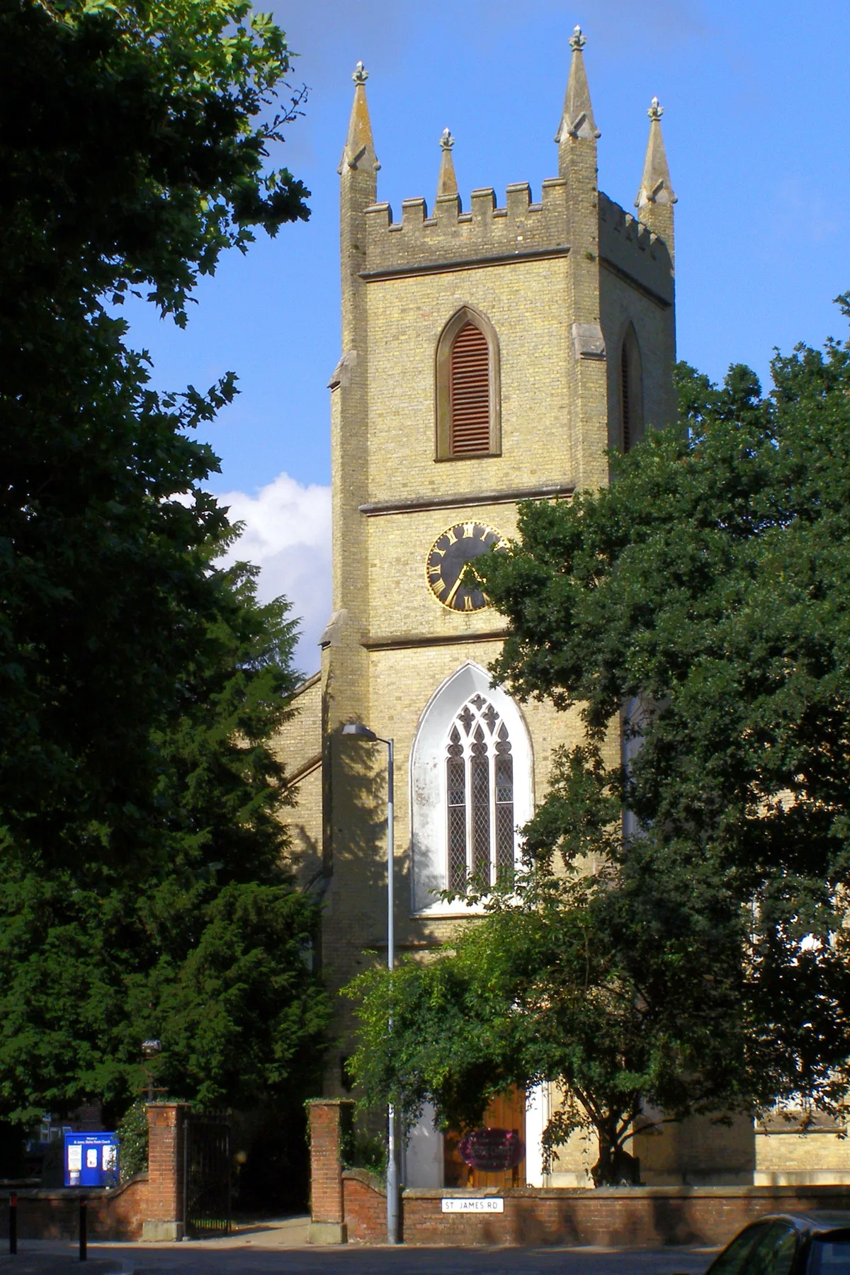
Shirley Parish Church
Shirley Parish Church — church in Southampton, UK.
 📷 5
📷 5Historic churches · South East England
Shirley Baptist Church, Southampton
Shirley Baptist Church, Southampton — a church in england-south-east, United Kingdom.
Hostels · South East England
Ronald McDonald House
Ronald McDonald House — a hostel in england south east.
 📷 5
📷 5Theatres · South East England
The Maskers theatre company
The Maskers theatre company is a theatre in the United Kingdom.
B&Bs · South East England
The Regent Guest House
The Regent Guest House — a bed-and-breakfast in england south east.
 📷 5
📷 5Public art & sculpture · South East England
Mr. Nosey
Mr. Nosey — a public art in england-south-east, United Kingdom.
More parks in this region
 Flagship📷 10
Parks · South East England
Alexandra Park
Alexandra Park — public park in Hastings, East Sussex, England, UK.
 Flagship📷 10
Parks · South East England
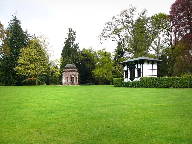
Larmer Tree Gardens
Larmer Tree Gardens — park in Tollard Royal, Wiltshire, England, UK.
 Flagship📷 10
Parks · South East England
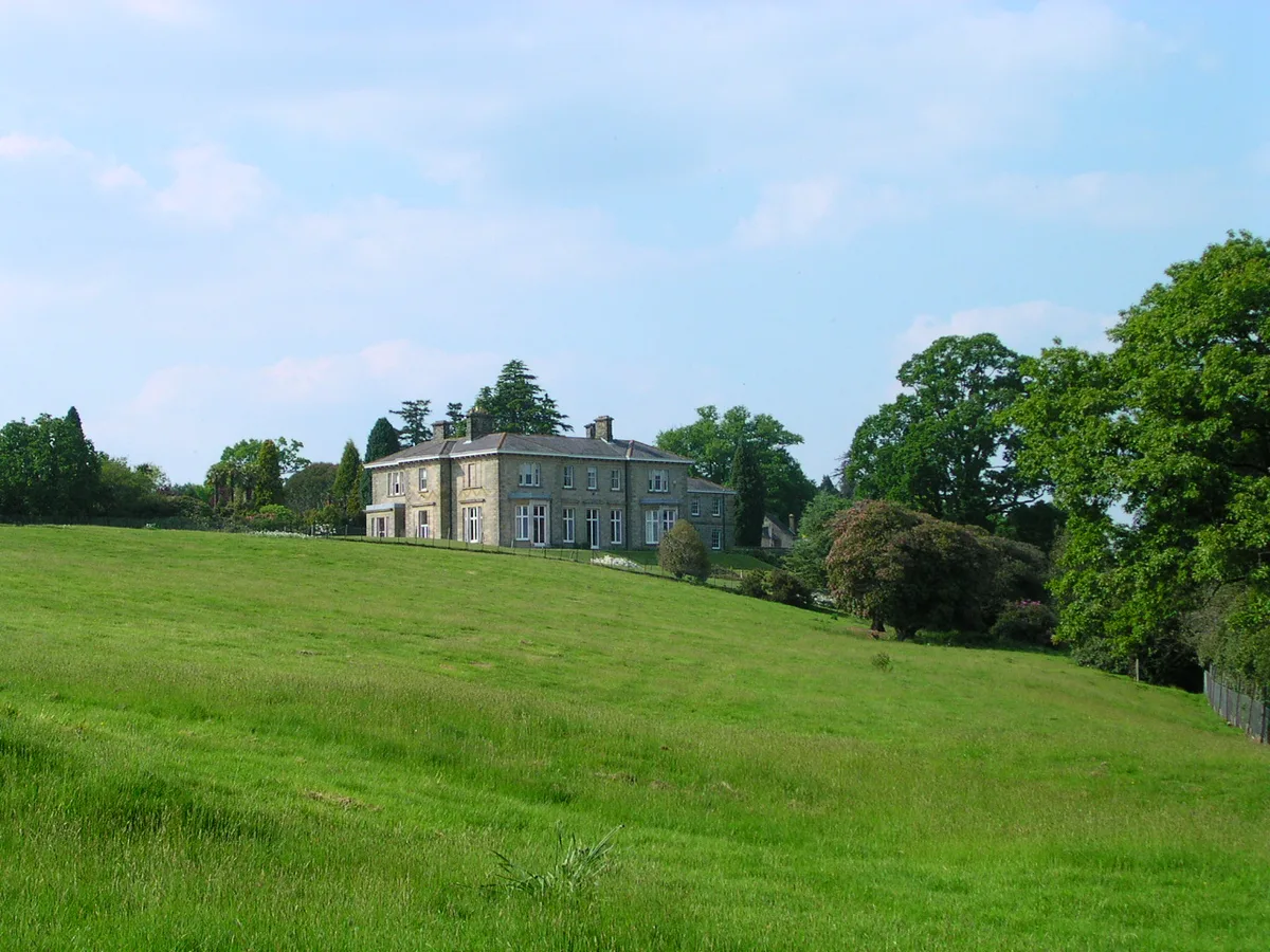
Leonardslee
Leonardslee — park in West Sussex, England, UK.
 📷 10
📷 10Parks · South East England
Poole Park
Poole Park — park in Poole, United Kingdom.
Frequently asked questions
- Where is St James' Park?
- St James' Park is in South-East England, United Kingdom (postcode SO15 5LX), in the parish of Southampton, unparished area.
- Is St James' Park a protected site?
- Yes — St James' Park is part of the The New Forest SSSI Site of Special Scientific Interest.
- Is St James' Park free to visit?
- Yes, St James' Park is free to enter.
- How do I get to St James' Park?
- The nearest railway station is Millbrook, about 1.8 km away. Drivers can navigate to postcode SO15 5LX.