Heritage railways · West Midlands
St Edwards Hospital tramway
St Edwards Hospital tramway is a heritage railway in the United Kingdom.

Wikimedia Commons licence
Plan your visit
- Typical visit
- 1.5 h–3 h
- Best time of year
- Spring – autumn
- Nearest railway station
- Leek Brook · 0.7 km
- Family-friendly
About
St Edwards Hospital tramway is a heritage railway in the United Kingdom — a preserved or volunteer-run line carrying tourist services. Owned by Staffordshire County Council. Coordinates: 53.0803°, -2.0400°.
Photo gallery
From the Wikipedia article
The St Edward's Hospital tramway was a tramway built for Staffordshire County Council for the construction of the St Edward's County Mental Asylum at Cheddleton, Staffordshire. Opened in 1899, the line ran until 1954 before being closed and scrapped.
Excerpt from Wikipedia under CC BY-SA 4.0. See the source article linked in Sources below.
Background
Architecture
The County Mental Hospital, also known as St Edward's Hospital, was built in the late 1890s by the Staffordshire County Lunacy Committee to relieve overcrowding in other institutions. The hospital was located on a spur of land overlooking the River Churnet and the Caldon Canal at Cheddleton Heath just north of Cheddleton. Designed by the London architects Giles, Gough and Trollope, construction began in 1895. To assist in construction of the hospital the contractors, W Brown & Son, laid a 0.75 miles line from the North Staffordshire Railway's (NSR) Churnet Valley Line at to the hospital site. Brown's used a small 0-4-0 Tank engine called Weaver (Manning Wardle H-class 1072) to transport…
Sourced from Wikipedia under CC BY-SA 4.0.
- Coordinates
- 53.0803, -2.0400
- County
- Staffordshire
- District
- Staffordshire Moorlands
- Parish
- Cheddleton
- Postcode
- ST13 7EA
- Parliamentary constituency
- Staffordshire Moorlands
- Nearest railway station
- Leek Brook — 0.7 km
Sources
- wikidata: Q7593021 (CC0)
- wikipedia: St Edward's Hospital tramway (CC BY-SA 4.0)
Other places nearby
Loading nearby places…
Nearby
 📷 3
📷 3Historic bridges · West Midlands
Bridge Number 7 At Sj 966 537, Leek Branch Of Caldon Canal
Bridge Number 7 At Sj 966 537, Leek Branch Of Caldon Canal — Grade II listed building-listed bridge in england-west-midlands, United Kingdom.
 📷 3
📷 3Historic bridges · West Midlands
Bridge At Sj 969 528
Bridge At Sj 969 528 — Grade II listed building-listed bridge in england-west-midlands, United Kingdom.
 📷 3
📷 3Historic bridges · West Midlands
Bridge Over River Churnet
Bridge Over River Churnet — Grade II listed building-listed bridge in england-west-midlands, United Kingdom.
 📷 3
📷 3Museums · West Midlands
Cheddleton Flint Mill
Cheddleton Flint Mill — a museum in england-west-midlands, United Kingdom.
 📷 3
📷 3Historic bridges · West Midlands
Bridge At Sj 973 525
Bridge At Sj 973 525 — Grade II listed building-listed bridge in england-west-midlands, United Kingdom.
 📷 3
📷 3Historic bridges · West Midlands
Bridge over canal (Wall Grange Farm) at NGR SJ 980 549
Bridge over canal (Wall Grange Farm) at NGR SJ 980 549 — Grade II listed building-listed bridge in england-west-midlands, United Kingdom.
More heritage railways in this region
 📷 5
📷 5Heritage railways · West Midlands
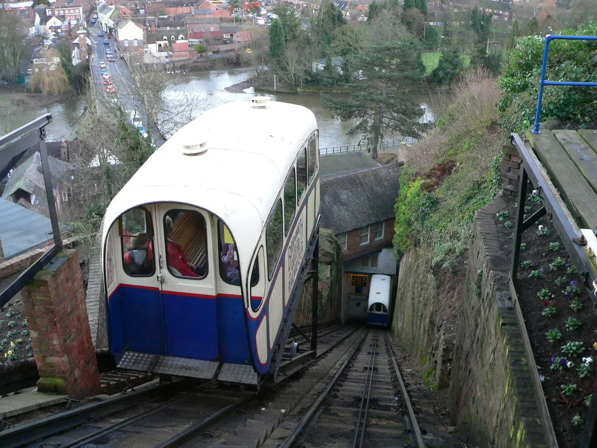
Bridgnorth Cliff Railway
Bridgnorth Cliff Railway is a heritage railway in the United Kingdom.
 📷 3
📷 3Heritage railways · West Midlands
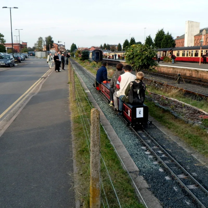
Coalyard Miniature Railway
Coalyard Miniature Railway is a heritage railway in the United Kingdom.
 📷 3
📷 3Heritage railways · West Midlands
Evesham Vale Light Railway
Evesham Vale Light Railway is a heritage railway in the United Kingdom.
 📷 3
📷 3Heritage railways · West Midlands
Evesham Vale Light Railway
Evesham Vale Light Railway is a heritage railway in the United Kingdom.
Frequently asked questions
- Where is St Edwards Hospital tramway?
- St Edwards Hospital tramway is in Staffordshire, the West Midlands, United Kingdom (postcode ST13 7EA), in the parish of Cheddleton.
- Who owns St Edwards Hospital tramway?
- St Edwards Hospital tramway is owned by Staffordshire County Council.
- How do I get to St Edwards Hospital tramway?
- The nearest railway station is Leek Brook, about 0.7 km away. Drivers can navigate to postcode ST13 7EA.