Wildlife reserves · Yorkshire & the Humber
St Aidan's
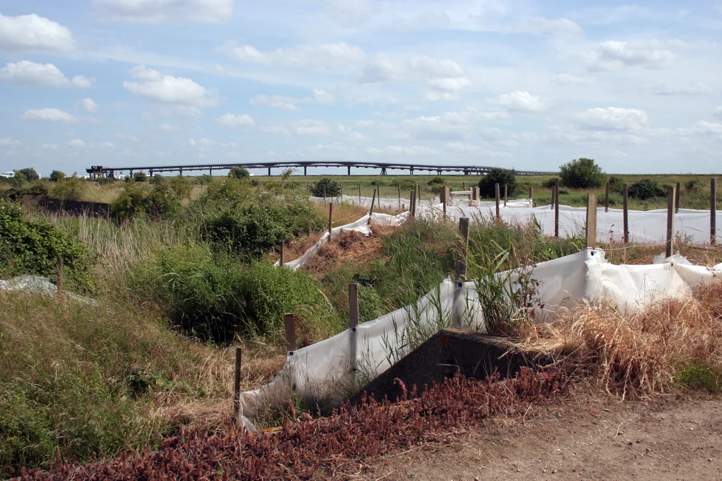
St Aidan's — country Park and RSPB reserve between Leeds and Castleford in West Yorkshire, England.

Wikimedia Commons contributors — see linked file page for photographer and licence licence
Plan your visit
- Typical visit
- 2 h–4 h
- Best time of year
- Autumn & winter (migration & wildfowl)
- Nearest railway station
- Woodlesford · 2.5 km
- Free entry
- Dog-friendly
- Limited wheelchair access
About
St Aidan's is a wildlife reserve in the United Kingdom. Managed by Royal Society for the Protection of Birds. Wikidata describes it as: "country Park and RSPB reserve between Leeds and Castleford in West Yorkshire, England". Coordinates: 53.7490°, -1.4086°.
Photo gallery
From the Wikipedia article
St Aidan's is a 355-hectare (880-acre) nature park located between Leeds and Castleford in West Yorkshire, England. The land was formerly an opencast coal mining area that was flooded in 1988, after the riverbank collapsed. Repairs and remediation required their own Act of Parliament to allow the necessary works to go ahead. Mining ceased at St Aidan's in 2002. The nature park opened to the public in May 2013 under the care of the Royal Society for the Protection of Birds (RSPB). However, the car park and visitor centre were subsequently closed in July 2013 due to unresolved land issues. With the successful transfer of St Aidan's to Leeds City Council, a 99-year lease was signed from the council to the RSPB in March 2017. The site is now open and functioning as an RSPB nature park. It is open every day excluding Christmas Day with the visitor centre open from 9.30 am to 5 pm February – October and 9.30 am to 4 pm November – January. RSPB St Aidan's Nature Park is designed for both people and wildlife and is open for a wide range of activities, from bird watching, cycling and walking to jogging, horse riding and dog walking. In 2023, it was the location of a site-specific performance by the National Youth Theatre, entitled Nest, part of Leeds 2023.
Excerpt from Wikipedia under CC BY-SA 4.0. See the source article linked in Sources below.
Background
History
St Aidan's nature park comprises the former St Aidan's opencast site, Lowther North opencast site and parts of the former Savile Colliery, Methley. In March 1988, there was a slope failure on the banks of the River Aire, resulting in a massive flood of 17,000,000 L of water. RAF Chinook helicopters were used to ferry stone and sandbags into the breach, but it did not stop the water cascading in. It took four days for the floodwater to fill the mine workings. The failure came about just southeast of Lemonroyd Lock where the Aire and Calder Navigation joins the River Aire. The resultant deluge created a lake that was 100 ha in size and 70 m deep. Mining operations were suspended and remedial…
Sourced from Wikipedia under CC BY-SA 4.0.
- Coordinates
- 53.7490, -1.4086
- District
- Leeds
- Parish
- Great and Little Preston
- Postcode
- LS26 8AL
- Parliamentary constituency
- Leeds East
- Established
- 2013
- Nearest railway station
- Woodlesford — 2.5 km
Sources
- wikidata: Q16900439 (CC0)
- wikipedia: St Aidan's (CC BY-SA 4.0)
- commons: St Aidan's Nature Reserve1.jpg (CC BY-SA 4.0)
Other places nearby
Loading nearby places…
Nearby
 📷 5
📷 5Forests & woodlands · Yorkshire & the Humber
RSPB St Aidan's
RSPB St Aidan's is a forest or woodland in the United Kingdom.
 📷 3
📷 3Historic houses · Yorkshire & the Humber
Lemonroyd Old Lock
Lemonroyd Old Lock — a historic house in england-yorkshire, United Kingdom.
 📷 3
📷 3Natural landmarks · Yorkshire & the Humber
BE1150 Dragline
BE1150 Dragline — a other in england-yorkshire, United Kingdom.
 📷 3
📷 3Memorials & monuments · Yorkshire & the Humber
Methley Miners Memorial
Methley Miners Memorial — a memorial in england-yorkshire, United Kingdom.
 📷 3
📷 3Historic bridges · Yorkshire & the Humber
Harrison's Bridge
Harrison's Bridge — Grade II listed building-listed bridge in england-yorkshire, United Kingdom.
 📷 3
📷 3Historic bridges · Yorkshire & the Humber
Swillington Bridge
Swillington Bridge — Grade II listed building-listed bridge in england-yorkshire, United Kingdom.
More places run by Royal Society for the Protection of Birds
 Flagship📷 10
Wildlife reserves · London
Canvey Wick
Canvey Wick — nature reserve in Essex, United Kingdom.
 Flagship📷 10
Wildlife reserves · London
Fowlmere RSPB reserve
Fowlmere RSPB reserve — RSPB nature reserve in the United Kingdom.
 📷 5
📷 5Wildlife reserves · London
Bowers Marsh RSPB Reserve
Bowers Marsh RSPB Reserve — RSPB nature reserve in the United Kingdom.
 📷 5
📷 5Wildlife reserves · London
Fen Drayton Lakes
Fen Drayton Lakes — RSPB nature reserve in the United Kingdom.
More places in this region
 📷 3
📷 3Wildlife reserves · Yorkshire & the Humber
Blacktoft Sands RSPB reserve
Blacktoft Sands RSPB reserve — RSPB nature reserve in England.
 Flagship📷 3
Wildlife reserves · Yorkshire & the Humber
Thorpe Marsh Nature Reserve
Thorpe Marsh Nature Reserve — Nature reserve in South Yorkshire.
 📷 5
📷 5Wildlife reserves · Yorkshire & the Humber
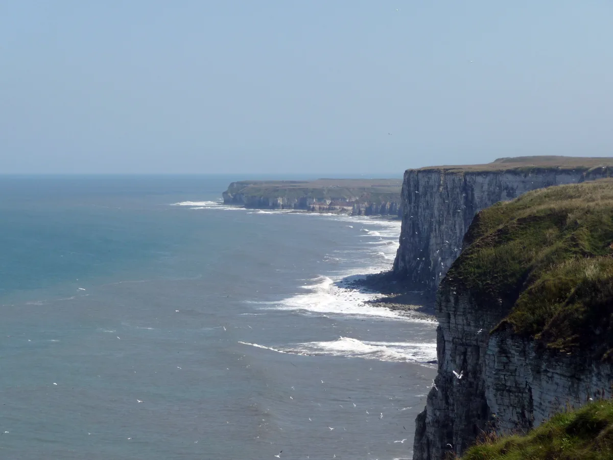
Bempton Cliffs RSPB reserve
Bempton Cliffs RSPB reserve — RSPB nature reserve in the United Kingdom.
 📷 3
📷 3Wildlife reserves · Yorkshire & the Humber
Calder Park Wetlands Nature Reserve
Calder Park Wetlands Nature Reserve — nature reserve in Crigglestone, West Yorkshire, England, UK.
Frequently asked questions
- Where is St Aidan's?
- St Aidan's is in Yorkshire, United Kingdom (postcode LS26 8AL), in the parish of Great and Little Preston.
- When was St Aidan's built?
- Built or established in 2013.
- Who runs St Aidan's?
- St Aidan's is operated by Royal Society for the Protection of Birds.
- Is St Aidan's free to visit?
- Yes, St Aidan's is free to enter.
- How do I get to St Aidan's?
- The nearest railway station is Woodlesford, about 2.5 km away. Drivers can navigate to postcode LS26 8AL.
- Are dogs allowed at St Aidan's?
- Most wildlife reserves allow dogs on lead only, with restrictions during ground-nesting bird season (March-July). Check signage at the reserve.