Long-distance walking trails · South Wales
Pembrokeshire Coast Path
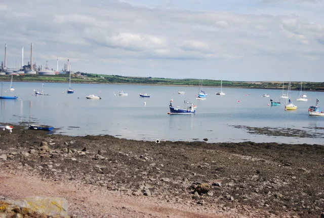
A 186-mile National Trail around the rugged coast of Pembrokeshire National Park from St Dogmaels in the north to Amroth in the south, taking in cliffs, beaches, fishing villages and offshore islands.
Plan your visit
- Typical visit
- 1 h–2 h
About
A 186-mile National Trail around the rugged coast of Pembrokeshire National Park from St Dogmaels in the north to Amroth in the south, taking in cliffs, beaches, fishing villages and offshore islands.
- Coordinates
- 51.6817, -5.0431
Sources
- wikidata: Q1136228 (CC0)
Other places nearby
Loading nearby places…
Nearby
 📷 3
📷 3Gardens · South Wales
The Tower At Eastington Manor House
The Tower At Eastington Manor House — a garden in wales-south, United Kingdom.
 📷 5
📷 5Historic churches · South Wales
St Decuman's Church
St Decuman's Church — Grade I listed building-listed church in wales-south, United Kingdom.
 📷 3
📷 3Memorials & monuments · South Wales
Popton Cross
Popton Cross — a memorial in wales-south, United Kingdom.
 📷 3
📷 3Forts · South Wales
Fort Popton
Fort Popton is a fort in the United Kingdom.
Vineyards · South Wales
West Popton Camp
West Popton Camp — a UK vineyard in wales south, producing English or Welsh wine from cool-climate grape varieties.
Mountains & hills · South Wales
Angle Bay
Angle Bay — bay in the United Kingdom.
Frequently asked questions
- Where is Pembrokeshire Coast Path?
- Pembrokeshire Coast Path is in South Wales, in the United Kingdom — coordinates 51.6817°, -5.0431°.