Archaeological sites · West Midlands
Shotover
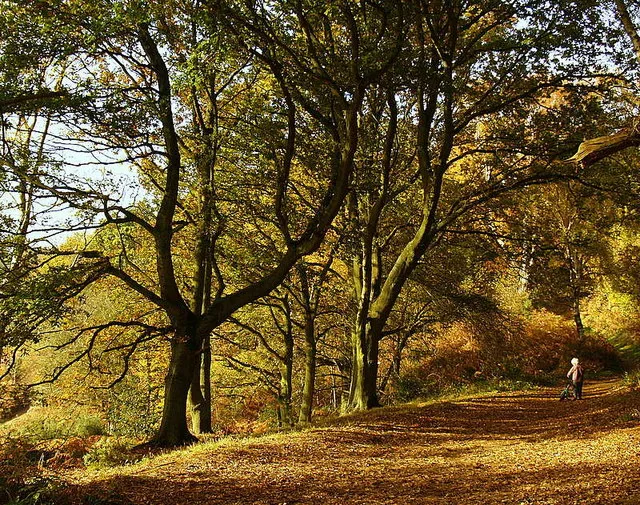
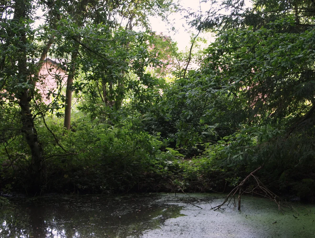
Shotover — hill and forest in Oxfordshire, England, UK.

Wikimedia Commons contributors — see linked file page for photographer and licence licence
Plan your visit
- Typical visit
- 45 min–1.5 h
- Nearest railway station
- Oxford · 6.1 km
- Free entry
- Dog-friendly
About
Shotover is an archaeological site in the United Kingdom. Wikidata describes it as: "hill and forest in Oxfordshire, England, UK". Coordinates: 51.7494°, -1.1817°.
Photo gallery
Protected designations
- Site of Special Scientific Interest: Brasenose Wood and Shotover Hill SSSI
Designations sourced from Natural England open data under OGL v3.
From the Wikipedia article
Shotover is a hill and forest in the civil parish of Forest Hill with Shotover, in the South Oxfordshire district, in the county of Oxfordshire, England. The hill is 3 miles (4.8 km) east of Oxford. Its highest point is 557 feet (170 m) above sea level.
Excerpt from Wikipedia under CC BY-SA 4.0. See the source article linked in Sources below.
Background
History
The toponym may be derived from the Old English , meaning "steep slope". Shotover was part of the Wychwood royal forest from around the period of the Domesday Book until 1660. It was also known as the Forest of Shotover. A hill figure is recorded as having once been carved on the hill. Antiquarian John Aubrey writes: Shotover was formerly an extra-parochial tract, in 1858 Shotover became a separate civil parish, on 25 March 1883 the parish was abolished and merged with Forest Hill. In 1851 it had a population of 163.
Sourced from Wikipedia under CC BY-SA 4.0.
- Coordinates
- 51.7494, -1.1817
- County
- Oxfordshire
- District
- South Oxfordshire
- Parish
- Forest Hill with Shotover
- Postcode
- OX3 8TD
- Parliamentary constituency
- Henley and Thame
- Nearest railway station
- Oxford — 6.1 km
Sources
- wikidata: Q7502563 (CC0)
- wikipedia: Shotover (CC BY-SA 4.0)
- commons: Autumn in Shotover park - geograph.org.uk - 604902.jpg (CC BY-SA 4.0)
Other places nearby
Loading nearby places…
Nearby
 📷 3
📷 3Parks · West Midlands
Shotover Country Park
Shotover Country Park — park in the United Kingdom.
 📷 3
📷 3Mountains & hills · West Midlands
Shotover Hill
Shotover Hill — Named summit at 171 m.
 📷 3
📷 3Wildlife reserves · West Midlands
CS Lewis Nature Reserve
CS Lewis Nature Reserve is a wildlife reserve in the United Kingdom.
 📷 3
📷 3Museums · West Midlands
The Kilns - CS Lewis's Home
The Kilns - CS Lewis's Home — a museum in england-west-midlands, United Kingdom.
📷 4Gardens · West Midlands
The Kilns
The Kilns — a garden in england-west-midlands, United Kingdom.
 📷 3
📷 3Other places · West Midlands
Ohm Portal
Ohm Portal — Public artwork (sculpture) by David Harber.
More archaeological sites in this region
 📷 3
📷 3Archaeological sites · West Midlands
A Neolithic barrow on Whiteleaf Hill, 50m east of Whiteleaf Cross
A Neolithic barrow on Whiteleaf Hill, 50m east of Whiteleaf Cross — archaeological site in Princes Risborough, Buckinghamshire, England, UK.
 📷 3
📷 3Archaeological sites · West Midlands
Asthall Barrow: an Anglo-Saxon burial mound 100m SSW of Barrow Farm
Asthall Barrow: an Anglo-Saxon burial mound 100m SSW of Barrow Farm — archaeological site in Asthall, West Oxfordshire, England, UK.
 📷 3
📷 3Archaeological sites · West Midlands
Barnhill moated site at Hambleton
Barnhill moated site at Hambleton — archaeological site in Hambleton, Rutland, England, UK.
 📷 2
📷 2Archaeological sites · West Midlands
Bottom Wood
Bottom Wood — English nature reserve.
Frequently asked questions
- Where is Shotover?
- Shotover is in Oxfordshire, the West Midlands, United Kingdom (postcode OX3 8TD), in the parish of Forest Hill with Shotover.
- Is Shotover a protected site?
- Yes — Shotover is part of the Brasenose Wood and Shotover Hill SSSI Site of Special Scientific Interest.
- How do I get to Shotover?
- The nearest railway station is Oxford, about 6.1 km away. Drivers can navigate to postcode OX3 8TD.