Parks · London
Shoreditch Park
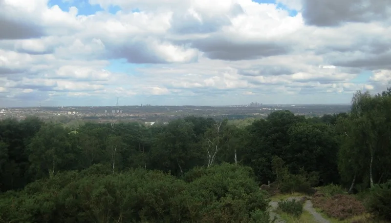
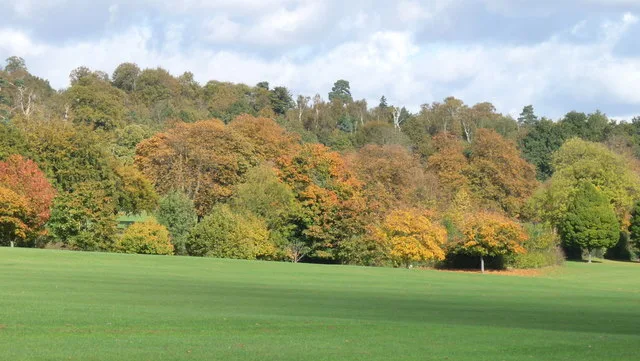
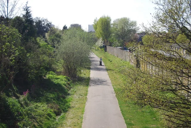
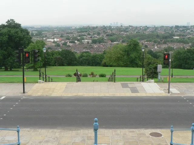
Shoreditch Park — open space in Shoreditch, east London.

Wikimedia Commons contributors — see linked file page for photographer and licence licence
Plan your visit
- Typical visit
- 1 h–2 h
- Nearest railway station
- Hoxton · 0.9 km
- Free entry
- Family-friendly
- Dog-friendly
About
Shoreditch Park is a public park in the United Kingdom. Wikidata describes it as: "open space in Shoreditch, east London". Coordinates: 51.5348°, -0.0874°.
Photo gallery
From the Wikipedia article
Shoreditch Park is an open space in Hoxton area of Shoreditch in the London Borough of Hackney. It is bounded by Poole Street (to the north), Rushton and Mintern Streets (to the south) and New North Road (west) and Pitfield Street (east). The park derives its name from the Metropolitan Borough of Shoreditch, the local authority when it was established. The park is 7.7 hectares (19 acres) in extent.
Excerpt from Wikipedia under CC BY-SA 4.0. See the source article linked in Sources below.
Background
History
The area that now includes much of Shoreditch Park was originally open fields. During the Regency era, and with the building of Regent's Canal, it was developed to create terraced housing for workers and their families. In the early 1940s, much of the area was devastated during the Blitz and later air-raids. In 1945 bomb damaged homes were cleared and prefabs or ‘temporary pre- fabricated housing’ was erected to house the many families made homeless during the War. These homes were designed as a stop gap measure, but many were in place for nearly 20 years before finally being condemned around 1964. The site was then cleared and redeveloped between 1964 and 1973, and several old streets…
Visiting
The nearest London Underground station is Old Street on the Northern line. Buses 21, 76 & 141 stop on New North Road, adjacent to the park.
Sourced from Wikipedia under CC BY-SA 4.0.
- Coordinates
- 51.5348, -0.0874
- District
- Hackney
- Parish
- Hackney, unparished area
- Postcode
- N1 5DS
- Parliamentary constituency
- Hackney South and Shoreditch
- Nearest railway station
- Hoxton — 0.9 km
- Official site
- www.peeruk.org
Sources
- wikidata: Q7501392 (CC0)
- wikipedia: Shoreditch Park (CC BY-SA 4.0)
- commons: Barclays Cycle Hire dock in Shoreditch Park.jpg (CC BY-SA 4.0)
Other places nearby
Loading nearby places…
Nearby
 📷 5
📷 5Parks · London
Boulder (Shoreditch Park)
Boulder (Shoreditch Park) — Public artwork (sculpture) by John Frankland.
 📷 5
📷 5Public art & sculpture · London
Hitchcock's Reel
Hitchcock's Reel — a public art in england-london, United Kingdom.
 📷 5
📷 5Public art & sculpture · London
Master Of Suspense (Hitchcock sculpture)
Master Of Suspense (Hitchcock sculpture) — a public art in england-london, United Kingdom.
 📷 5
📷 5Chapels · London
Hoxton
Hoxton — a methodist chapel in england-london, United Kingdom.
 📷 5
📷 5Canal locks · London
Sturt's Lock
Sturt's Lock — lock in London Borough of Islington, London, England, UK.
Cafés · London
Trew Era Cafe
Trew Era Cafe — a café in england london.
More parks in this region
 Flagship📷 10
Parks · London
Addington Hills
Addington Hills — park in the United Kingdom.
 📷 10
📷 10Parks · London
Addington Park
Addington Park — park in the United Kingdom.
 Flagship📷 10
Parks · London
Addiscombe Railway Park
Addiscombe Railway Park — park in London Borough of Croydon, United Kingdom.
 Flagship📷 10
Parks · London
Alexandra Park
Alexandra Park — park in the London Borough of Haringey.
Frequently asked questions
- Where is Shoreditch Park?
- Shoreditch Park is in London, United Kingdom (postcode N1 5DS), in the parish of Hackney, unparished area.
- Is Shoreditch Park free to visit?
- Yes, Shoreditch Park is free to enter.
- How do I get to Shoreditch Park?
- The nearest railway station is Hoxton, about 0.9 km away. Drivers can navigate to postcode N1 5DS.