Canal locks · South East England
Shiplake Lock
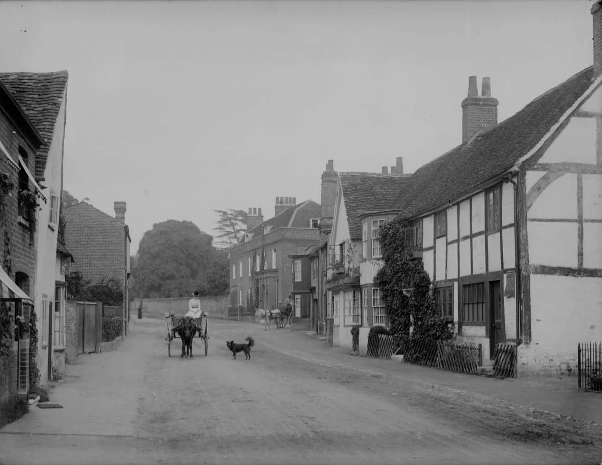
Shiplake Lock — lock on the River Thames in Oxfordshire, England.

Wikimedia Commons contributors — see linked file page for photographer and licence licence
Plan your visit
- Typical visit
- 20 min–45 min
- Nearest railway station
- Wargrave · 0.5 km
- Free entry
- Dog-friendly
About
Shiplake Lock is a canal lock in the United Kingdom. Wikidata describes it as: "lock on the River Thames in Oxfordshire, England". Coordinates: 51.5010°, -0.8834°.
Photo gallery
Protected designations
- Area of Outstanding Natural Beauty: Chilterns
Designations sourced from Natural England open data under OGL v3.
From the Wikipedia article
Shiplake Lock is a lock and weir situated on the River Thames in England between the villages of Shiplake and Lower Shiplake, Oxfordshire. It is just above the points where the River Loddon joins the Thames and Shiplake Railway Bridge crosses the river. The first pound lock was built by the Thames Navigation Commission in 1773. The weir is some distance upstream of the lock between the lock island and Berkshire bank.
Excerpt from Wikipedia under CC BY-SA 4.0. See the source article linked in Sources below.
Background
History
There is reference to the weir and flash lock at this location in the 16th century when it was known as "Cotterell's", a name which persisted after the pound lock was built. It was the second downstream of the eight locks built after the Thames and Isis Navigation Act 1750 (24 Geo. 2. c. 8), and was completed in fir wood in 1773. At this time the towpath upstream was transferred from the Berkshire to the Oxfordshire bank. The lock had to be rebuilt of oak in 1787 as the fir had decayed. There were two mills on the island at this time. The lock was rebuilt again in 1874 and the weir in 1885. The lock island was purchased by the City of London Corporation for camping in 1891, and in 1907 the…
Description
The reason for the purchase of Shiplake Lock Island by the Corporation of London was to preserve the amenities for bathing and camping. It was managed by the corporation's City Lands Committee. However, managing at a distance proved a problem and the island was let in perpetuity in 1914 to the Thames Conservancy. The camp was then divided into 18 plots and run by the lock keepers. Soon after taking over, the conservancy allowed huts to be built near the tents. The use of these was restricted to cooking and they were not to be used for sleeping. (At that time, ladies were not allowed to sleep on the island at all, but had to retire to wooden huts on the Shiplake bank). The Thames Conservancy…
Visiting
The lock can be reached from Lower Shiplake down Mill Road, and into Mill Lane, where there is a tarmac path to the lock along the edge of a field. And from the village of Shiplake, at Shiplake Church take the chalky path down to the riverbank, past Shiplake College's boathouse. The footpath at Shiplake then passes under the College (formerly Shiplake Court) and then the white Shiplake House.The lock is a few hundred metres along this part of the Thames Path.
Sourced from Wikipedia under CC BY-SA 4.0.
- Coordinates
- 51.5010, -0.8834
- County
- Oxfordshire
- District
- South Oxfordshire
- Parish
- Shiplake
- Postcode
- RG9 3NA
- Parliamentary constituency
- Henley and Thame
- Nearest railway station
- Wargrave — 0.5 km
Sources
- wikidata: Q7498006 (CC0)
- wikipedia: Shiplake Lock (CC BY-SA 4.0)
- commons: Shiplake Lock - geograph.org.uk - 947806.jpg (CC BY-SA 4.0)
Other places nearby
Loading nearby places…
Nearby
 📷 5
📷 5Historic bridges · South East England
Shiplake Railway Bridge
Shiplake Railway Bridge is a historic bridge in the United Kingdom.
.jpg?width=1200) 📷 5
📷 5Stately homes · South East England
Shiplake Court
Shiplake Court — school building, formerly country house in Shiplake, Oxfordshire, England, UK.
 📷 5
📷 5Memorials & monuments · South East England
Wargrave War Memorial
Wargrave War Memorial is a memorial in the United Kingdom.
 📷 5
📷 5Memorials & monuments · South East England
Shiplake College, Water Tower Approximately 90 Metres North West
Shiplake College, Water Tower Approximately 90 Metres North West — a water tower in england-south-east, United Kingdom.
 📷 5
📷 5Memorials & monuments · South East England
Lower Shiplake War Memorial
Lower Shiplake War Memorial — Grade II listed building-listed memorial in england-south-east, United Kingdom.
 Flagship📷 10
Towns & cities · South East England
Wargrave
Wargrave — village and civil parish in Borough of Wokingham, Berkshire, England, UK.
More places in this region
 📷 5
📷 5Canal locks · South East England
Abbey View Lock
Abbey View Lock — canal lock in Bath and North East Somerset, Somerset, England, UK.
 📷 5
📷 5Canal locks · South East England
Aldermaston Lock
Aldermaston Lock — lock on the Kennet and Avon Canal in Aldermaston, Berkshire, England, UK.
 📷 5
📷 5Canal locks · South East England
Allbrook Lock
Allbrook Lock — lock on the Itchen Navigation in the civil parish of Otterbourne, Hampshire, UK.
 📷 5
📷 5Canal locks · South East England
Bath Deep Lock
Bath Deep Lock — lock on the Kennet and Avon Canal, in Bath, UK.
Frequently asked questions
- Where is Shiplake Lock?
- Shiplake Lock is in Oxfordshire, South-East England, United Kingdom (postcode RG9 3NA), in the parish of Shiplake.
- Is Shiplake Lock a protected site?
- Yes — Shiplake Lock is part of the Chilterns National Landscape (AONB).
- How do I get to Shiplake Lock?
- The nearest railway station is Wargrave, about 0.5 km away. Drivers can navigate to postcode RG9 3NA.