Mountains & hills · West Midlands
Shining Tor
Shining Tor — Named summit at 559 m.

Wikimedia Commons contributors — see linked file page for photographer and licence licence
Plan your visit
- Typical visit
- 3 h–8 h
- Best time of year
- Late spring – early autumn (May–Oct)
- Nearest railway station
- Buxton Miniature Railway · 6.1 km
- Free entry
- Dog-friendly
About
Shining Tor is a named summit in the United Kingdom. Wikidata describes it as: "Named summit at 559 m.". Coordinates: 53.2607°, -2.0095°.
Photo gallery
Protected designations
- Site of Special Scientific Interest: Goyt Valley SSSI
Designations sourced from Natural England open data under OGL v3.
From the Wikipedia article
Shining Tor is the highest hill in Cheshire, England. The summit has an elevation of 559 m (1,834 ft) above sea level. It is in the Peak District, between the towns of Macclesfield in Cheshire and Buxton in Derbyshire, and is on the administrative boundary between Derbyshire and Cheshire East. The hill is at the south end of a north-south moorland ridge, which also includes Cats Tor, 519 metres (1,703 ft) high. There is also another hill named Shining Tor, above Dovedale in Derbyshire, at grid reference SK145545.
Excerpt from Wikipedia under CC BY-SA 4.0. See the source article linked in Sources below.
- Coordinates
- 53.2607, -2.0095
- District
- Cheshire East
- Parish
- Macclesfield Forest and Wildboarclough
- Postcode
- SK11 0AR
- Parliamentary constituency
- Macclesfield
- Nearest railway station
- Buxton Miniature Railway — 6.1 km
Sources
- osm: n671766423 (ODbL)
- wikipedia: Shining Tor (CC BY-SA 4.0)
- commons: Shining Tor.jpg (CC BY-SA 4.0)
Other places nearby
Loading nearby places…
Nearby
 📷 5
📷 5Mountains & hills · South East England
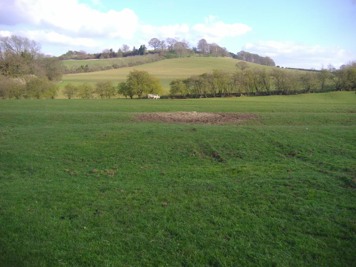
Errwood Hall
The ruin of Errwood Hall is a popular tourist destination in the scenic Upper Goyt Valley within the Peak District of England.
 📷 3
📷 3Distilleries · East Midlands
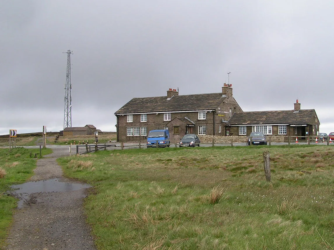
Cat & Fiddle
Cat & Fiddle — Whisky/spirit distillery.
 📷 3
📷 3Distilleries · West Midlands
Forest Distillery
Forest Distillery — Whisky/spirit distillery.
 📷 4
📷 4Historic churches · West Midlands
Forest Chapel
Forest Chapel — grade II listed church in the parish of Macclesfield Forest and Wildboarclough, Cheshire East, Cheshire, England, UK.
 📷 4
📷 4Reservoirs & lochs · West Midlands
Lamaload Reservoir
Lamaload Reservoir — reservoir in Cheshire, England, UK.
 📷 3
📷 3Reservoirs & lochs · East Midlands
Errwood Reservoir
Errwood Reservoir — reservoir in Derbyshire, England, UK.
More mountains in this region
 📷 5
📷 5Mountains & hills · West Midlands
Arbury Hill
Arbury Hill — Named summit at 224.3 m.
Mountains & hills · West Midlands
Barr Beacon
Barr Beacon — Named summit at 227 m.
 📷 3
📷 3Mountains & hills · West Midlands
Barrow Hill
Barrow Hill — Named summit at 179 m.
Mountains & hills · West Midlands
Beacon Hill
Beacon Hill — Named summit at 237 m.
Frequently asked questions
- Where is Shining Tor?
- Shining Tor is in the West Midlands, United Kingdom (postcode SK11 0AR), in the parish of Macclesfield Forest and Wildboarclough.
- Is Shining Tor a protected site?
- Yes — Shining Tor is part of the Goyt Valley SSSI Site of Special Scientific Interest.
- Is Shining Tor free to visit?
- Yes, Shining Tor is free to enter.
- How do I get to Shining Tor?
- The nearest railway station is Buxton Miniature Railway, about 6.1 km away. Drivers can navigate to postcode SK11 0AR.