Towns & cities · London
Shepway
Shepway — area of Maidstone, Kent, England.

David Anstiss — CC BY-SA 2.0 via Wikimedia Commons licence
Plan your visit
- Typical visit
- 3 h–6 h
- Nearest railway station
- Maidstone West · 2.8 km
- Free entry
- Family-friendly
- Dog-friendly
About
Shepway is a town, city, village or settlement in the United Kingdom. Recent population estimates put it at around 14,100 people. Wikidata describes it as: "area of Maidstone, Kent, England". Coordinates: 51.2543°, 0.5461°.
Photo gallery
Protected designations
- Area of Outstanding Natural Beauty: Kent Downs
Designations sourced from Natural England open data under OGL v3.
From the Wikipedia article
Shepway is a suburb to the south-east of Maidstone in Kent, England. It lies to the south of Mote Park, to the east of Loose Road (A229) and Sutton Road (A274), and west of Willington Street. The area was formerly farmland and orchards. The suburb takes its name from Shepway Court, a country house which stood where the road of that name is today.
Excerpt from Wikipedia under CC BY-SA 4.0. See the source article linked in Sources below.
Background
History
Construction of the suburb started in the 1930s with the building of South Park Road, the western ends of Plains Avenue, Marion Crescent and Cranborne Avenue (originally named Shepway Avenue) and parts of Brockenhurst, Ringwood and Lyndhurst Roads. The majority of the suburb was constructed as a council estate by Maidstone Borough Council in stages after World War II. Phases of infill construction continued up to the present. The original grid of roads laid out for the council estate after World War II bear names of traditional English counties (for example Northumberland Road, Cambridge Crescent, Hampshire Drive, Rutland Way and Nottingham Avenue). The estate was originally planned with…
Sourced from Wikipedia under CC BY-SA 4.0.
- Coordinates
- 51.2543, 0.5461
- County
- Kent
- District
- Maidstone
- Parish
- Maidstone, unparished area
- Postcode
- ME15 7JP
- Parliamentary constituency
- Faversham and Mid Kent
- Population
- 14,100
- Nearest railway station
- Maidstone West — 2.8 km
- Official site
- www.kent.gov.uk
Sources
- wikidata: Q265678 (CC0)
- wikipedia: Shepway, Maidstone (CC BY-SA 4.0)
Other places nearby
Loading nearby places…
Nearby
 📷 5
📷 5Memorials & monuments · London
Volunteers Pavilion
Volunteers Pavilion — Monument, dating to 1801.
 📷 5
📷 5Cemeteries · London
Maidstone Cemetery
Maidstone Cemetery is a cemetery in the United Kingdom.
 📷 5
📷 5Parks · London
Mote Park
Mote Park — park in Kent, United Kingdom.
 📷 5
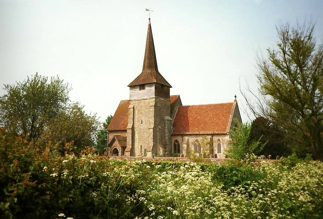
📷 5Historic churches · London
St Nicholas's Church, Otham
St Nicholas's Church, Otham — Grade I listed church in Otham, Kent, England, UK.
 📷 5
📷 5Towns & cities · London
Otham
Otham — village in Kent, England, UK.
 📷 5
📷 5Miniature railways · London
Maidstone Model Railway
Maidstone Model Railway — a miniature railway in england-london, United Kingdom.
More towns in this region
 Flagship📷 10
Towns & cities · London
Aldenham
Aldenham — village and civil parish in Hertfordshire, England.
 Flagship📷 10
Towns & cities · London
Ashdon
Ashdon — village and civil parish in Essex, UK.
 Flagship📷 10
Towns & cities · London
Betchworth
Betchworth — village and civil parish in the Mole Valley district of Surrey, England.
 Flagship📷 10
Towns & cities · London
Boxley
Boxley — village and civil parish in Maidstone District, Kent, England, UK.
Frequently asked questions
- Where is Shepway?
- Shepway is in Kent, London, United Kingdom (postcode ME15 7JP), in the parish of Maidstone, unparished area.
- Is Shepway a protected site?
- Yes — Shepway is part of the Kent Downs National Landscape (AONB).
- Is Shepway free to visit?
- Yes, Shepway is free to enter.
- How do I get to Shepway?
- The nearest railway station is Maidstone West, about 2.8 km away. Drivers can navigate to postcode ME15 7JP.