Mountains & hills · North West England
Sharp Haw
Sharp Haw — Named summit at 357 m.

Wikimedia Commons contributors — see linked file page for photographer and licence licence
Plan your visit
- Typical visit
- 3 h–8 h
- Best time of year
- Late spring – early autumn (May–Oct)
- Nearest railway station
- Gargrave · 3.2 km
- Free entry
- Dog-friendly
About
Sharp Haw is a named summit in the United Kingdom. Wikidata describes it as: "Named summit at 357 m.". Coordinates: 53.9935°, -2.0634°.
Photo gallery
From the Wikipedia article
Sharp Haw is a hill on the southern edge of the Yorkshire Dales, located just within the National Park. Being the last outpost of the hills before the broad Aire valley, and with a sharp summit from many angles, it is prominent and easily recognisable from much of the area to the south. The hill has an elevation of 357 metres (1,171 ft). From the summit there are views over the Aire valley, to Gargrave, Skipton and the Leeds and Liverpool Canal, to the east into Wharfedale and to the north into Malhamdale. Although Ordnance Survey maps do not show a path to the summit, there is a path from the public bridleway, but this runs alongside the peak, not to the summit. It's popular with cyclists. The pastures up Sharp Haw are home to sheep and beef cows, as well as ground nesting birds. The word Haw comes from the Old English hawian, and means view.
Excerpt from Wikipedia under CC BY-SA 4.0. See the source article linked in Sources below.
- Coordinates
- 53.9935, -2.0634
- District
- North Yorkshire
- Parish
- Flasby with Winterburn
- Postcode
- BD23 3PY
- Parliamentary constituency
- Skipton and Ripon
- Nearest railway station
- Gargrave — 3.2 km
Sources
- osm: n289583508 (ODbL)
- wikipedia: Sharp Haw (CC BY-SA 4.0)
- commons: Sharp Haw - geograph.org.uk - 120015.jpg (CC BY-SA 4.0)
Other places nearby
Loading nearby places…
Nearby
Vineyards · North West England
Rough Haw
Rough Haw — a UK vineyard in england north west, producing English or Welsh wine from cool-climate grape varieties.
 📷 3
📷 3Burial mounds & barrows · North West England
High Wood bowl barrow
High Wood bowl barrow — a burial mound in england-north-west, United Kingdom.
 📷 3
📷 3Historic houses · North West England
Sandy Beck Bar
Sandy Beck Bar — a historic house in england-north-west, United Kingdom.
 📷 3
📷 3Memorials & monuments · North West England
Flasby Hall Tower
Flasby Hall Tower — Grade II listed building-listed memorial in england-north-west, United Kingdom.
 📷 3
📷 3Aqueducts · North West England
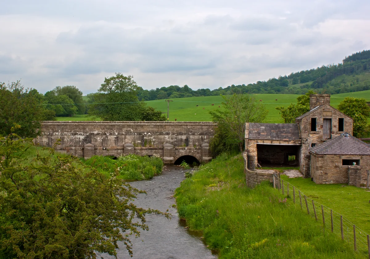
Leeds And Liverpool Canal Aqueduct At Holme Bridge
Leeds And Liverpool Canal Aqueduct At Holme Bridge — aqueduct in Gargrave, Craven, North Yorkshire, England, UK.
_p5.184_-_Eshton_Hall%2C_Yorkshire.jpg?width=1200) 📷 5
📷 5Historic houses · North West England
Eshton Hall
Eshton Hall — house in Eshton, Craven, England, UK.
More mountains in this region
 📷 3
📷 3Mountains & hills · North West England
Allen Crags
Allen Crags — Named summit at 785 m.
 📷 3
📷 3Mountains & hills · North West England
Alum Pot
Alum Pot — Open shaft pothole in North Yorkshire.
 📷 3
📷 3Mountains & hills · North West England
Arnside Knott
Arnside Knott — Named summit at 159 m.
 📷 3
📷 3Mountains & hills · North West England
Aye Gill Pike
Aye Gill Pike — Named summit at 556.3 m.
Frequently asked questions
- Where is Sharp Haw?
- Sharp Haw is in North-West England, United Kingdom (postcode BD23 3PY), in the parish of Flasby with Winterburn.
- Is Sharp Haw free to visit?
- Yes, Sharp Haw is free to enter.
- How do I get to Sharp Haw?
- The nearest railway station is Gargrave, about 3.2 km away. Drivers can navigate to postcode BD23 3PY.