Mountains & hills · North East England
Shap Summit
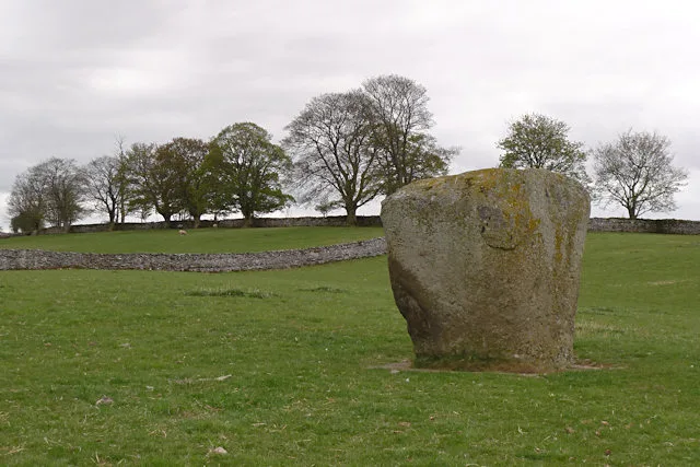
Shap Summit in England North East, United Kingdom.

Ann Cook — CC BY-SA 2.0 via Wikimedia Commons licence
Plan your visit
- Typical visit
- 3 h–8 h
- Best time of year
- Late spring – early autumn (May–Oct)
- Free entry
- Dog-friendly
About
Shap Summit is a place of interest in England North East, United Kingdom — drawn from open-data sources for visitor reference. See the linked Wikipedia article for the full description.
Photo gallery
From the Wikipedia article
Shap Summit refers to three different route summits in close proximity, of the A6 road, M6 motorway and the highest point of the West Coast Main Line railway in England, near to the Cumbria village of Shap in North West England, crossing the hills of the Lake District.
Excerpt from Wikipedia under CC BY-SA 4.0. See the source article linked in Sources below.
- Coordinates
- 54.5026, -2.6455
- District
- Westmorland and Furness
- Parish
- Shap Rural
- Postcode
- CA10 3RA
- Parliamentary constituency
- Westmorland and Lonsdale
Sources
- wikidata: Q18413024 (CC0)
- wikipedia: Shap Summit (CC BY-SA 4.0)
Other places nearby
Loading nearby places…
Nearby
 📷 3
📷 3Stone circles · North East England
Oddendale Stone Circles
Oddendale Stone Circles — a stone circle in england-north-east, United Kingdom.
 📷 3
📷 3Public art & sculpture · North East England
Nuttall Sidings
Nuttall Sidings — a public art in england-north-east, United Kingdom.
 📷 5
📷 5Other places · North East England
Oddendale
Oddendale in England North East, United Kingdom.
 📷 4
📷 4Wildlife reserves · North East England
Crosby Ravensworth Fell
Crosby Ravensworth Fell in England North East, United Kingdom.
 📷 3
📷 3Hill forts · North East England
Shap Stone Avenue
Shap Stone Avenue — Neolithic stone complex in Cumbria, England.
 📷 4
📷 4Other places · North East England
2025 Shap derailment
2025 Shap derailment in England North East, United Kingdom.
More mountains in this region
 📷 3
📷 3Mountains & hills · North East England
Angletarn Pikes
Angletarn Pikes — Named summit at 566 m.
 📷 3
📷 3Mountains & hills · North East England
Angletarn Pikes South Top
Angletarn Pikes South Top — Named summit at 563.6 m.
 📷 3
📷 3Mountains & hills · North East England
Ard Crags
Ard Crags — Named summit at 581 m.
 📷 3
📷 3Mountains & hills · North East England
Arnison Crag
Arnison Crag — Named summit at 433 m.
Frequently asked questions
- Where is Shap Summit?
- Shap Summit is in North-East England, United Kingdom (postcode CA10 3RA), in the parish of Shap Rural.
- Is Shap Summit free to visit?
- Yes, Shap Summit is free to enter.
- How do I get to Shap Summit?
- Drivers can navigate to postcode CA10 3RA. It sits within the Westmorland and Lonsdale parliamentary constituency.