Castles · North West England
Sedbergh
Sedbergh ( SED-bər or locally SEB-ər) is a town and civil parish in the ceremonial county of Cumbria. It falls within the historic boundaries of the West Riding of Yorkshire. Since April 2023, it has

Alexander P Kapp — CC BY-SA 2.0 via Wikimedia Commons licence
Plan your visit
- Typical visit
- 1.5 h–3 h
- Family-friendly
- Limited wheelchair access
About
Sedbergh ( SED-bər or locally SEB-ər) is a town and civil parish in the ceremonial county of Cumbria. It falls within the historic boundaries of the West Riding of Yorkshire. Since April 2023, it has been administered by Westmorland and Furness local authority. The 2001 census gave the parish a population of 2,705, increasing at the 2011 census to 2,765. It lies about 10 miles (16 km) east of Kendal, 28 miles (45 km) north of Lancaster and about 10 miles (16 km) north of Kirkby Lonsdale, within the Yorkshire Dales National Park (the boundaries of which in this area follow those of the historic counties). It stands at the foot of Howgill Fells, on the north bank of the River Rawthey, which joins the River Lune 2 miles (3 km) below the town.
Photo gallery
From the Wikipedia article
Sedbergh ( SED-bər or locally SEB-ər) is a town and civil parish in the ceremonial county of Cumbria. It falls within the historic boundaries of the West Riding of Yorkshire. Since April 2023, it has been administered by Westmorland and Furness local authority. The 2001 census gave the parish a population of 2,705, increasing at the 2011 census to 2,765. It lies about 10 miles (16 km) east of Kendal, 28 miles (45 km) north of Lancaster and about 10 miles (16 km) north of Kirkby Lonsdale, within the Yorkshire Dales National Park (the boundaries of which in this area follow those of the historic counties). It stands at the foot of Howgill Fells, on the north bank of the River Rawthey, which joins the River Lune 2 miles (3 km) below the town.
Excerpt from Wikipedia under CC BY-SA 4.0. See the source article linked in Sources below.
Background
History
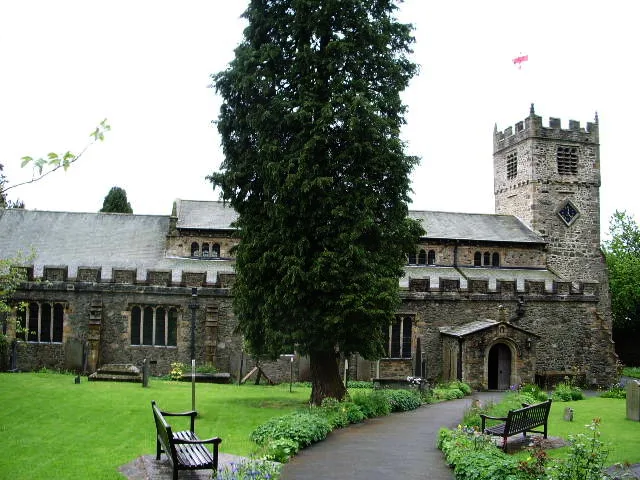
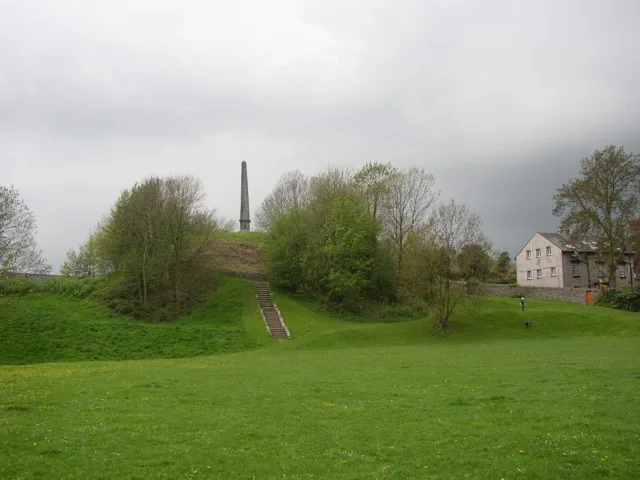
The name Sedbergh derives from the Old Norse setberg meaning 'flat topped hill'. Sedbergh's parish church, dedicated to St Andrew the Apostle, dates from the 12th century, although restored periodically since. There is at least one house in the village dating from the 14th century. The remains of the motte and bailey castle are believed to date from Saxon times. Sedbergh's longstanding industries were farming and the production of woollen garments. Wool was taken to mills for spinning into yarn, from which people in their homes knitted clothing such as hats and socks. These were sold, for instance, to coal miners of North-East England. This trade of long ago is remembered at Farfield Mill,…
Sourced from Wikipedia under CC BY-SA 4.0.
- Coordinates
- 54.3220, -2.5260
- District
- Westmorland and Furness
- Parish
- Sedbergh
- Postcode
- LA10 5RX
- Parliamentary constituency
- Morecambe and Lunesdale
Sources
- wikipedia: Sedbergh (CC BY-SA 4.0)
Other places nearby
Loading nearby places…
Nearby
 📷 3
📷 3Memorials & monuments · North West England
Sedbergh War Memorial
Sedbergh War Memorial — Grade II listed building-listed memorial in england-north-west, United Kingdom.
Cafés · North West England
Gun Dog Coffee Shop
Gun Dog Coffee Shop — a café in england north west.
.jpg?width=1200) 📷 4
📷 4Chapels · North West England
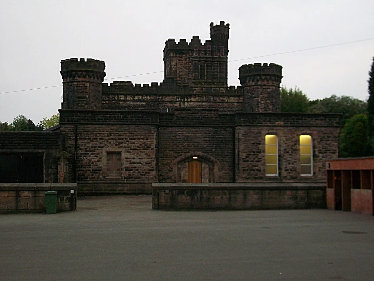
Sedbergh School Chapel
Sedbergh School Chapel — historic site in Cumbria, England, UK.
 📷 5
📷 5Historic churches · North West England
St Andrew's Church, Sedbergh
St Andrew's Church, Sedbergh — church in South Lakeland, UK.
Hotels · North West England
The Black Bull
The Black Bull — a hotel in england north west.
 📷 3
📷 3Memorials & monuments · North West England
War Memorial Cloister at Sedbergh School
War Memorial Cloister at Sedbergh School — Grade II* listed building-listed memorial in england-north-west, United Kingdom.
More castles in this region
 📷 5
📷 5Castles · North West England
Clitheroe Castle
Clitheroe Castle — castle in Lancashire, England, UK.
 📷 3
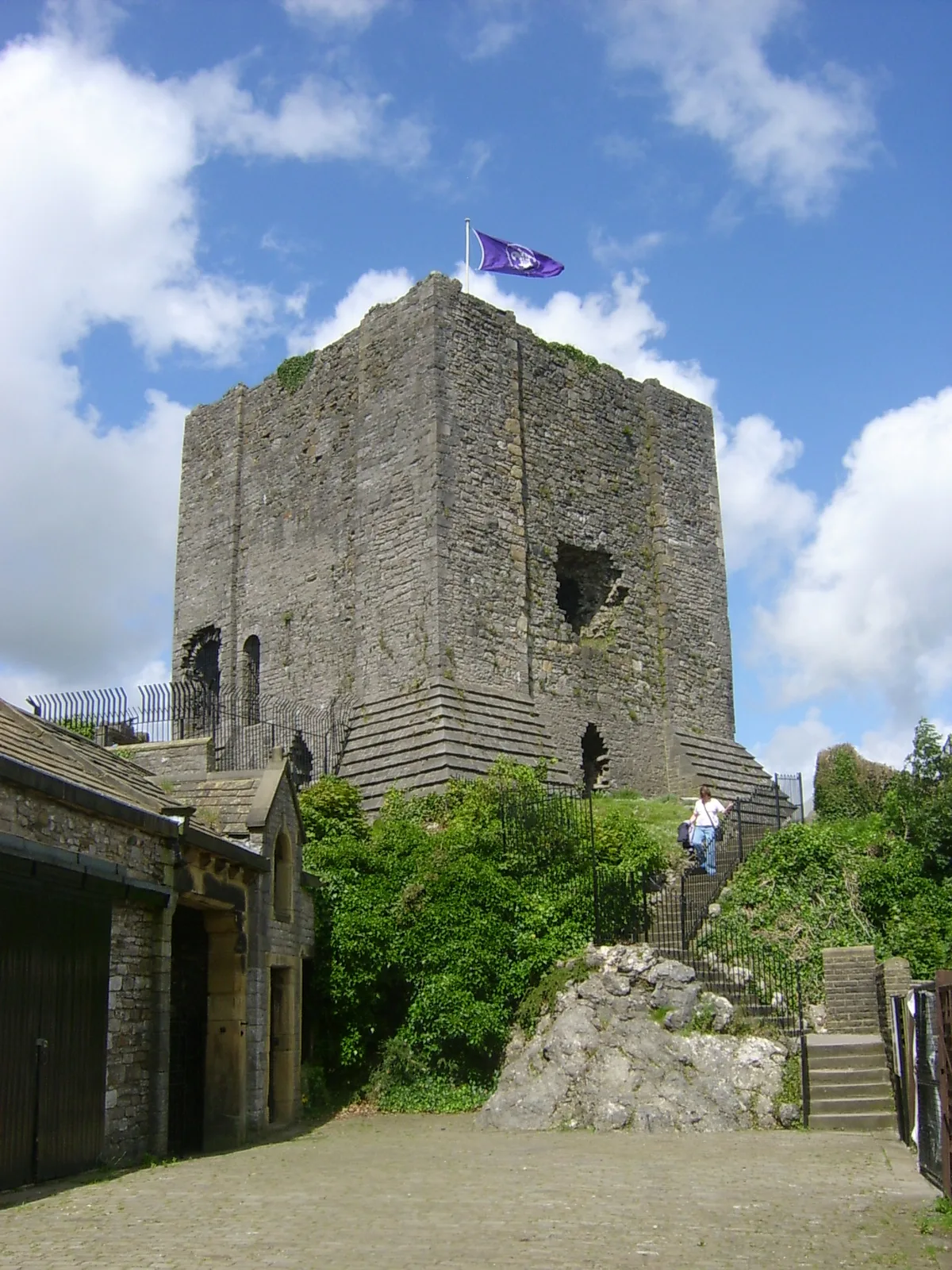
📷 3Castles · North West England
Castle Howe
Castle Howe — Castle in Cumbria, England.
 📷 3
📷 3Castles · North West England
Dalton Castle
Dalton Castle — Grade I listed local museum in Dalton Town with Newton, Westmorland and Furness, Cumbria , England, UK.
 📷 5
📷 5Castles · North West England
Dobroyd Castle
Dobroyd Castle — castle in Todmorden, West Yorkshire, England, UK.
Frequently asked questions
- Where is Sedbergh?
- Sedbergh is in North-West England, United Kingdom (postcode LA10 5RX), in the parish of Sedbergh.
- Does Sedbergh charge admission?
- Sedbergh typically charges admission. Check the official site for current ticket prices and opening hours.
- How do I get to Sedbergh?
- Drivers can navigate to postcode LA10 5RX. It sits within the Morecambe and Lunesdale parliamentary constituency.