Mountains & hills · North East England
Scar Crags (summit)
Scar Crags (summit) — Named summit at 672 m.

Wikimedia Commons contributors — see linked file page for photographer and licence licence
Plan your visit
- Typical visit
- 3 h–8 h
- Best time of year
- Late spring – early autumn (May–Oct)
- Free entry
- Dog-friendly
About
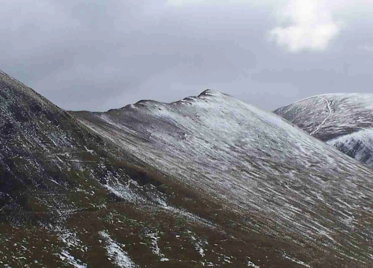
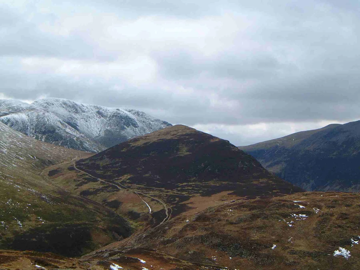
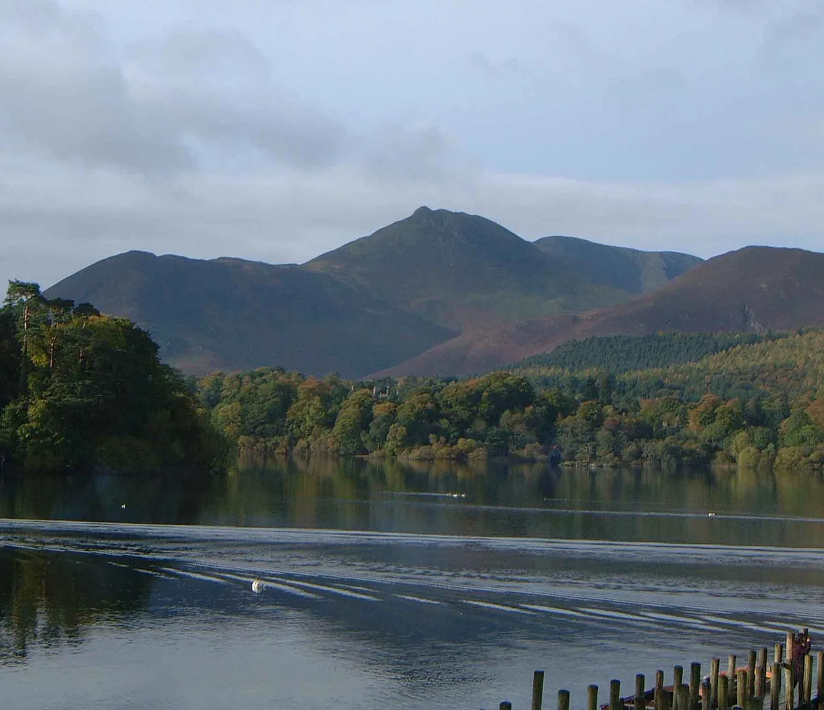
Scar Crags (summit) is a named summit in the United Kingdom. Wikidata describes it as: "Named summit at 672 m.". Coordinates: 54.5750°, -3.2259°.
Photo gallery
Protected designations
- Site of Special Scientific Interest: River Derwent and Tributaries SSSI
- Site of Special Scientific Interest: Buttermere Fells SSSI
Designations sourced from Natural England open data under OGL v3.
From the Wikipedia article
Scar Crags is a fell in the north western part of the English Lake District in the county of Cumbria. It is one of the Coledale group of fells situated seven kilometres (4+1⁄4 miles) south west of Keswick and reaches a height of 672 metres (2,205 ft).
Excerpt from Wikipedia under CC BY-SA 4.0. See the source article linked in Sources below.
- Coordinates
- 54.5750, -3.2259
- Address
- Cumbria, England
Sources
- osm: n5024374009 (ODbL)
- wikipedia: Scar Crags (CC BY-SA 4.0)
- commons: Scar Crags from Stoneycroft.jpg (CC BY-SA 4.0)
Other places nearby
Loading nearby places…
Nearby
 📷 3
📷 3Natural landmarks · North East England
Scar Crags
Scar Crags — mountain in United Kingdom.
 📷 3
📷 3Natural landmarks · North East England
Outerside
Outerside — mountain in United Kingdom.
 📷 3
📷 3Mountains & hills · North East England
Outerside
Outerside — Named summit at 568 m.
 📷 3
📷 3Mountains & hills · North East England
Ard Crags
Ard Crags — Named summit at 581 m.
 📷 3
📷 3Natural landmarks · North East England
Causey Pike
Causey Pike — mountain in United Kingdom.
 📷 3
📷 3Natural landmarks · North East England
Ard Crags
Ard Crags — mountain in United Kingdom.
More mountains in this region
 📷 3
📷 3Mountains & hills · North East England
Angletarn Pikes
Angletarn Pikes — Named summit at 566 m.
 📷 3
📷 3Mountains & hills · North East England
Angletarn Pikes South Top
Angletarn Pikes South Top — Named summit at 563.6 m.
📷 3Mountains & hills · North East England
Ard Crags
Ard Crags — Named summit at 581 m.
 📷 3
📷 3Mountains & hills · North East England
Arnison Crag
Arnison Crag — Named summit at 433 m.
Frequently asked questions
- Where is Scar Crags (summit)?
- Scar Crags (summit) is in North-East England, United Kingdom.
- Is Scar Crags (summit) a protected site?
- Yes — Scar Crags (summit) is part of the River Derwent and Tributaries SSSI Site of Special Scientific Interest and the Buttermere Fells SSSI Site of Special Scientific Interest.
- Is Scar Crags (summit) free to visit?
- Yes, Scar Crags (summit) is free to enter.