Towns & cities · London
Sarratt
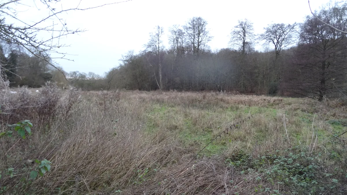
Sarratt — village in Hertfordshire, England.

Wikimedia Commons contributors — see linked file page for photographer and licence licence
Plan your visit
- Typical visit
- 3 h–6 h
- Nearest railway station
- Chorleywood · 3.9 km
- Free entry
- Family-friendly
- Dog-friendly
About
Sarratt is a town, city, village or settlement in the United Kingdom. Recent population estimates put it at around 1,849 people. Address: WD3. Wikidata describes it as: "village in Hertfordshire, England". Coordinates: 51.6836°, -0.4875°.
Photo gallery
Protected designations
- Area of Outstanding Natural Beauty: Chilterns
Designations sourced from Natural England open data under OGL v3.
From the Wikipedia article
Sarratt is both a village and a civil parish in Three Rivers District, Hertfordshire, England. It is situated 4 miles (6.4 km) north of Rickmansworth on high ground near the county boundary with Buckinghamshire. The chalk stream, the River Chess, rising just north of Chesham in the Chiltern Hills, passes through Sarratt Bottom in the valley to the west of the village to join the River Colne in Rickmansworth. The conditions offered by the river are perfect for the cultivation of watercress. Sarratt has the only commercially operating watercress farm in Hertfordshire. The valley to the east of Sarratt is dry.
Excerpt from Wikipedia under CC BY-SA 4.0. See the source article linked in Sources below.
- Coordinates
- 51.6836, -0.4875
- County
- Hertfordshire
- District
- Three Rivers
- Parish
- Sarratt
- Postcode
- WD3
- Parliamentary constituency
- South West Hertfordshire
- Population
- 1,849
- Nearest railway station
- Chorleywood — 3.9 km
- Official site
- www.hertsdirect.org
Sources
- wikidata: Q19945 (CC0)
- wikipedia: Sarratt (CC BY-SA 4.0)
- commons: HolyCrossSarratt.JPG (CC BY-SA 4.0)
Other places nearby
Loading nearby places…
Nearby
 📷 3
📷 3Wildlife reserves · West Midlands
Sarratt Bottom nature reserve
Sarratt Bottom nature reserve — biological Site of Special Scientific Interest in England.
 📷 5
📷 5Historic houses · London
The Manor House
The Manor House — house in Chipperfield, Dacorum, England, UK.
 📷 5
📷 5Memorials & monuments · London
Chipperfield War Memorial (On Green Opposite Two Brewers Inn)
Chipperfield War Memorial (On Green Opposite Two Brewers Inn) — Grade II listed building-listed memorial in england-london, United Kingdom.
Hotels · London
The Two Brewers
The Two Brewers — a hotel in england london.
 📷 5
📷 5Towns & cities · London
Chipperfield
Chipperfield — village and civil parish in the Dacorum district of Hertfordshire, England.
 📷 3
📷 3Forests & woodlands · West Midlands
Chorleywood House Estate
Chorleywood House Estate is a forest or woodland in the United Kingdom.
More towns in this region
 Flagship📷 10
Towns & cities · London
Aldenham
Aldenham — village and civil parish in Hertfordshire, England.
 Flagship📷 10
Towns & cities · London
Ashdon
Ashdon — village and civil parish in Essex, UK.
 Flagship📷 10
Towns & cities · London
Betchworth
Betchworth — village and civil parish in the Mole Valley district of Surrey, England.
 Flagship📷 10
Towns & cities · London
Boxley
Boxley — village and civil parish in Maidstone District, Kent, England, UK.
Frequently asked questions
- Where is Sarratt?
- Sarratt is in Hertfordshire, London, United Kingdom (postcode WD3), in the parish of Sarratt.
- Is Sarratt a protected site?
- Yes — Sarratt is part of the Chilterns National Landscape (AONB).
- Is Sarratt free to visit?
- Yes, Sarratt is free to enter.
- How do I get to Sarratt?
- The nearest railway station is Chorleywood, about 3.9 km away. Drivers can navigate to postcode WD3.