Towns & cities · West Midlands
Sambourne
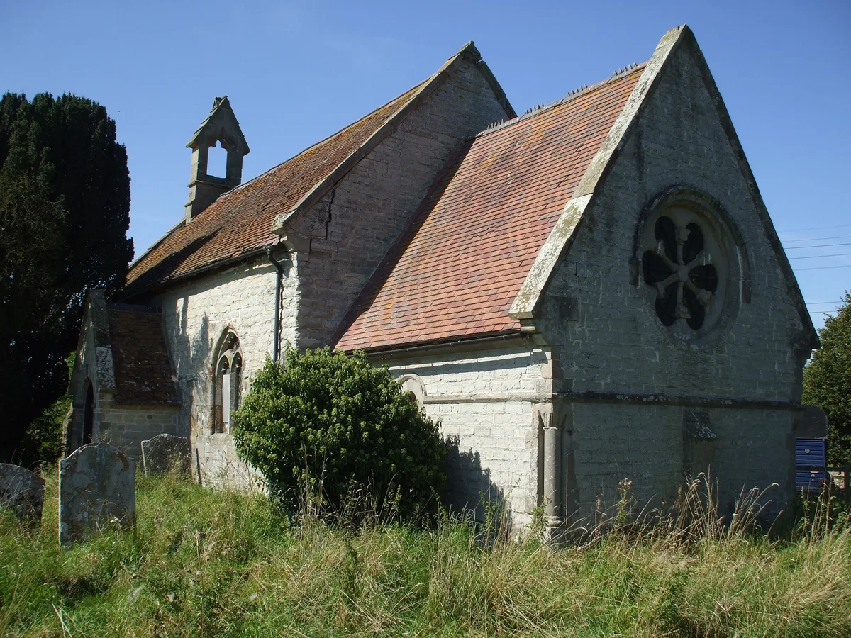
Sambourne — hamlet in Warwickshire, England.

Wikimedia Commons contributors — see linked file page for photographer and licence licence
Plan your visit
- Typical visit
- 3 h–6 h
- Nearest railway station
- Redditch · 5.7 km
- Free entry
- Family-friendly
- Dog-friendly
About
Sambourne is a town, city, village or settlement in the United Kingdom. It covers approximately 864 km². Recent population estimates put it at around 770 people. Wikidata describes it as: "hamlet in Warwickshire, England". Coordinates: 52.2591°, -1.9146°.
Photo gallery
From the Wikipedia article
Sambourne, formerly spelled Sambourn, is a village and civil parish 1.5 miles (2.4 km) north-west of Coughton, 4.5 miles (7.2 km) south of Redditch, 12 miles (19 km) north-west of Stratford-upon-Avon and 20 miles (32 km) west of Warwick in the county of Warwickshire, England. It is situated on sloping ground rising westwards to about 500 feet near the ancient Ridge Way, and forms part of the county boundary with Worcestershire. The village itself is centred round a small triangular green at the junction of four roads and contains several timber-framed buildings of 17th century date. By a designation of 22 July 1991 much of the central area became a conservation area.
Excerpt from Wikipedia under CC BY-SA 4.0. See the source article linked in Sources below.
Background
History
The earliest reference to Sambourne is of 714 when it is recorded as being given by Egwin Bishop of Worcester to the monastery at Evesham Abbey upon its foundation. William Dugdale quotes the conventional date for the Abbey's foundation. This holding is confirmed by the Domesday Book which records, Land of Evesham Church, "The church itself holds in Sambourne 3 hides. Land for 4 ploughs. In lordship 1;2 slaves; 2 villagers and 4 smallholders with 3 ploughs. Woodland 1 league long and ½ league wide. The value was 20s now 30s." The medieval history of the village is bound up with that of the Royal Forest of Feckenham, where the abbots of Evesham at one time enclosed a considerable amount of…
Sourced from Wikipedia under CC BY-SA 4.0.
- Coordinates
- 52.2591, -1.9146
- County
- Warwickshire
- District
- Stratford-on-Avon
- Parish
- Sambourne
- Postcode
- B96 6PD
- Parliamentary constituency
- Stratford-on-Avon
- Population
- 770
- Nearest railway station
- Redditch — 5.7 km
Sources
- wikidata: Q939950 (CC0)
- wikipedia: Sambourne (CC BY-SA 4.0)
- commons: Samborne 001.jpg (CC BY-SA 4.0)
Other places nearby
Loading nearby places…
Nearby
 📷 3
📷 3Memorials & monuments · West Midlands
Sambourne War Memorial
Sambourne War Memorial — Grade II listed building-listed memorial in england-west-midlands, United Kingdom.
.jpg?width=1200) 📷 3
📷 3Historic houses · West Midlands
Claremont House
Claremont House — house in Studley, Stratford-on-Avon, Warwickshire, England, UK.
 📷 5
📷 5Natural landmarks · West Midlands
Kingsley College, Redditch
Kingsley College, Redditch — a school heritage in england-west-midlands, United Kingdom.
 📷 3
📷 3Historic churches · West Midlands
St Leonard's Church, Spernall
St Leonard's Church, Spernall — church in Stratford-on-Avon, UK.
 📷 3
📷 3Memorials & monuments · West Midlands
Coughton Cross
Coughton Cross — a memorial in england-west-midlands, United Kingdom.
 📷 3
📷 3Natural landmarks · West Midlands
Coughton Court
Coughton Court — a other in england-west-midlands, United Kingdom.
More towns in this region
 Flagship📷 3
Towns & cities · West Midlands
Adderbury
Adderbury — village and civil parish in Cherwell district, Oxfordshire, England.
 Flagship📷 3
Towns & cities · West Midlands
Admington
Admington — village in Warwickshire, England, UK.
 Flagship📷 3
Towns & cities · West Midlands
Aldington
Aldington — village in Worcestershire, United Kingdom.
 Flagship📷 5
Towns & cities · West Midlands
Anstey
Anstey — large village in Leicestershire, England.
Frequently asked questions
- Where is Sambourne?
- Sambourne is in Warwickshire, the West Midlands, United Kingdom (postcode B96 6PD), in the parish of Sambourne.
- Is Sambourne free to visit?
- Yes, Sambourne is free to enter.
- How do I get to Sambourne?
- The nearest railway station is Redditch, about 5.7 km away. Drivers can navigate to postcode B96 6PD.