Mountains & hills · North West England
Sallows
Sallows — Named summit at 516 m.

Wikimedia Commons contributors — see linked file page for photographer and licence licence
.jpg)
Plan your visit
- Typical visit
- 3 h–8 h
- Best time of year
- Late spring – early autumn (May–Oct)
- Nearest railway station
- Windermere · 5.8 km
- Free entry
- Dog-friendly
About
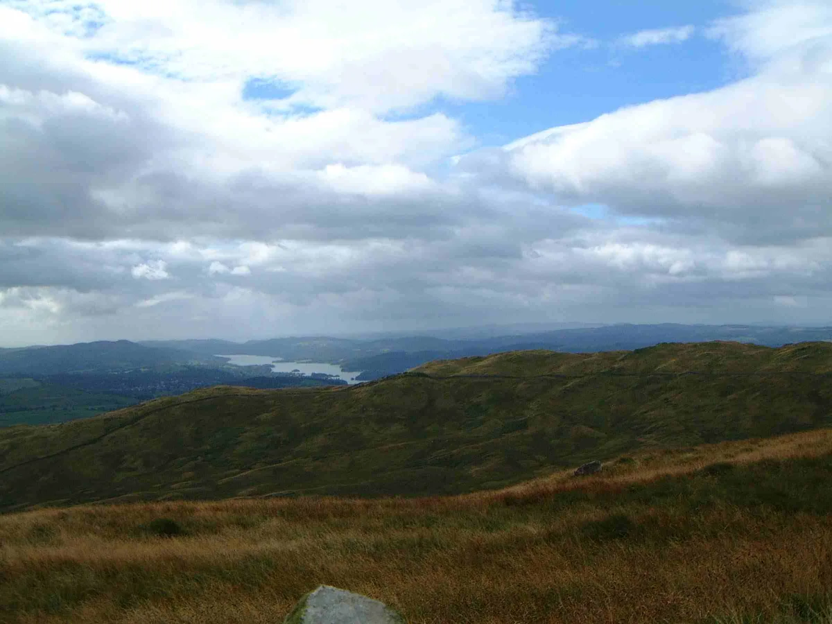
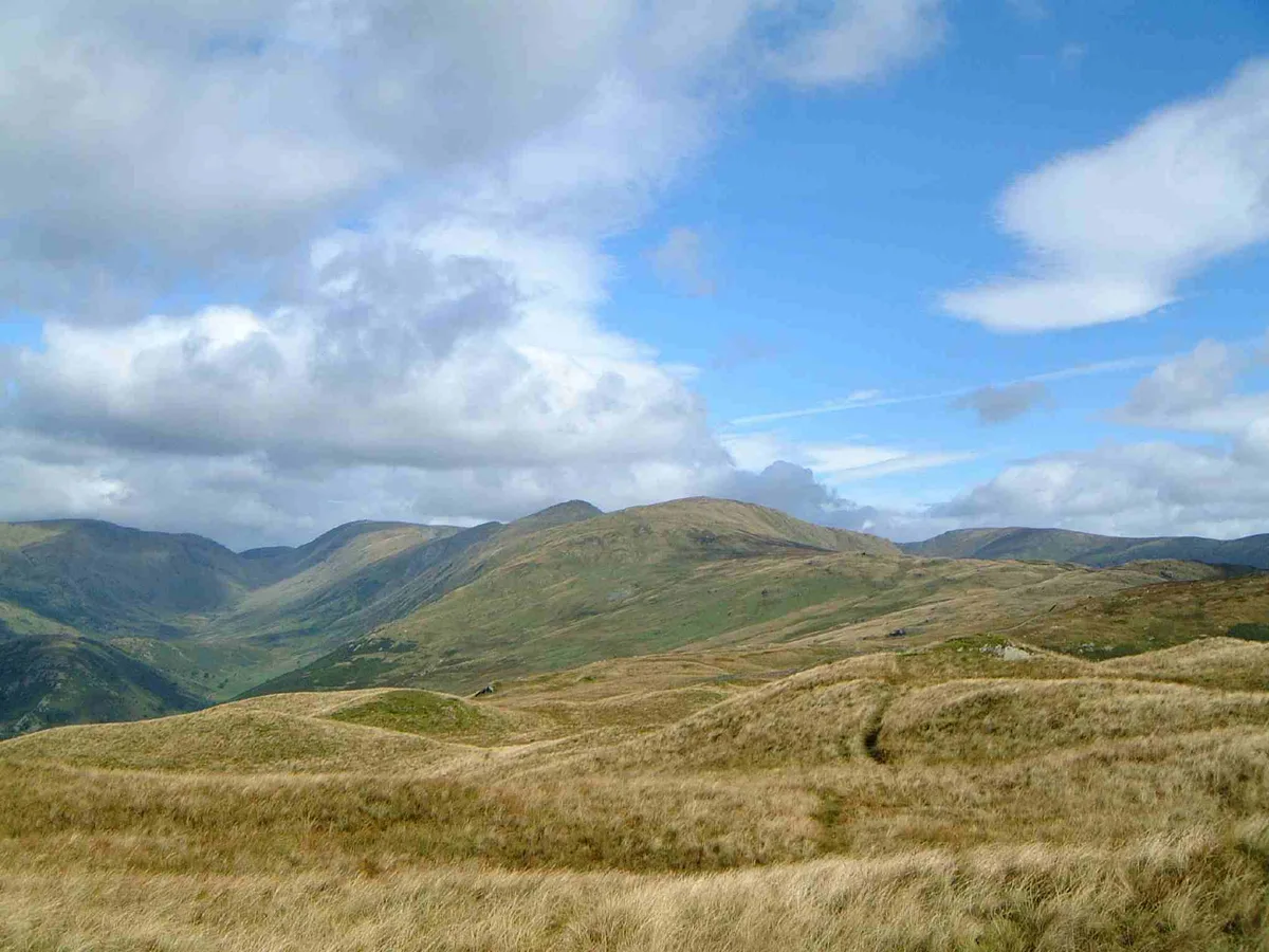
Sallows is a named summit in the United Kingdom. Wikidata describes it as: "Named summit at 516 m.". Coordinates: 54.4281°, -2.8700°.
Photo gallery
Protected designations
- Site of Special Scientific Interest: River Kent and Tributaries SSSI
- Site of Special Scientific Interest: River Eden and Tributaries SSSI
Designations sourced from Natural England open data under OGL v3.
From the Wikipedia article
Sallows is a fell in the English Lake District, rising between the valleys of Kentmere and Troutbeck. It is the highest point in the upland area to the south of Garburn Pass, variously termed Kentmere Park and Applethwaite Common on Ordnance Survey maps.
Excerpt from Wikipedia under CC BY-SA 4.0. See the source article linked in Sources below.
- Coordinates
- 54.4281, -2.8700
- District
- Westmorland and Furness
- Parish
- Lakes
- Postcode
- LA23 1PR
- Parliamentary constituency
- Westmorland and Lonsdale
- Nearest railway station
- Windermere — 5.8 km
Sources
- osm: n29047328 (ODbL)
- wikipedia: Sallows (CC BY-SA 4.0)
- commons: Sallows (geograph 2790115).jpg (CC BY-SA 4.0)
Other places nearby
Loading nearby places…
Nearby
 📷 3
📷 3Mountains & hills · North West England
Sour Howes
Sour Howes — Named summit at 483 m.
 📷 5
📷 5Towns & cities · North West England
Kentmere
Kentmere — village and civil parish in Cumbria, UK.
 📷 5
📷 5Historic churches · North West England
St Cuthbert's Church, Kentmere
St Cuthbert's Church, Kentmere is a Grade II listed parish church in the Church of England in Kentmere, Cumbria. Its benefice is united with that of St Martin's Church, Bowness-on-Windermere; St Anne'
Caravan parks · North West England
Limefitt Holiday Park
Limefitt Holiday Park — a caravan park in england north west. Brand: Parkdean Resorts.
 📷 3
📷 3Mountains & hills · North West England
Yoke
Yoke — Named summit at 707 m.
 📷 3
📷 3Stone circles · North West England
Low Kingate stone circle
Low Kingate stone circle — a stone circle in england-north-west, United Kingdom.
More mountains in this region
 📷 3
📷 3Mountains & hills · North West England
Allen Crags
Allen Crags — Named summit at 785 m.
 📷 3
📷 3Mountains & hills · North West England
Alum Pot
Alum Pot — Open shaft pothole in North Yorkshire.
 📷 3
📷 3Mountains & hills · North West England
Arnside Knott
Arnside Knott — Named summit at 159 m.
 📷 3
📷 3Mountains & hills · North West England
Aye Gill Pike
Aye Gill Pike — Named summit at 556.3 m.
Frequently asked questions
- Where is Sallows?
- Sallows is in North-West England, United Kingdom (postcode LA23 1PR), in the parish of Lakes.
- Is Sallows a protected site?
- Yes — Sallows is part of the River Kent and Tributaries SSSI Site of Special Scientific Interest and the River Eden and Tributaries SSSI Site of Special Scientific Interest.
- Is Sallows free to visit?
- Yes, Sallows is free to enter.
- How do I get to Sallows?
- The nearest railway station is Windermere, about 5.8 km away. Drivers can navigate to postcode LA23 1PR.