Towns & cities · East Midlands
Ruskington
Ruskington — village and civil parish in Lincolnshire, UK.

Wikimedia Commons contributors — see linked file page for photographer and licence licence
Plan your visit
- Typical visit
- 3 h–6 h
- Nearest railway station
- Ruskington · 0.6 km
- Free entry
- Family-friendly
- Dog-friendly
About
Ruskington is a town, city, village or settlement in the United Kingdom. Recent population estimates put it at around 5,169 people. Wikidata describes it as: "village and civil parish in Lincolnshire, UK". Coordinates: 53.0444°, -0.3875°.
Photo gallery
From the Wikipedia article
Ruskington is a village and civil parish in the North Kesteven district of Lincolnshire, England, located approximately 4 miles (6.4 km) north of Sleaford on the north–south B1188 road and slightly north of the A153 road. The village contains approximately 2,200 dwellings and is approximately 1 mile (1.6 km) in length, measured from east to west. The population of the civil parish was 5,169 at the 2001 census, increasing to 5,637 at the 2011 census.
Excerpt from Wikipedia under CC BY-SA 4.0. See the source article linked in Sources below.
Background
History
The remains of a Roman road also run parallel and to the west of Lincoln Road, but are apparent only in aerial photographs. Ruskington's Anglo-Saxon burial ground is situated on Lincoln Road near Mill House. At the time of the Domesday Book of 1086, it was part of the ancient Flaxwell "wapentake" (a collection of local parishes).
Sourced from Wikipedia under CC BY-SA 4.0.
- Coordinates
- 53.0444, -0.3875
- County
- Lincolnshire
- District
- North Kesteven
- Parish
- Ruskington
- Postcode
- NG34 9AB
- Parliamentary constituency
- Sleaford and North Hykeham
- Population
- 5,169
- Nearest railway station
- Ruskington — 0.6 km
- Official site
- www.research-lincs.org.uk
Sources
- wikidata: Q1882468 (CC0)
- wikipedia: Ruskington (CC BY-SA 4.0)
- commons: All Saints' church, Ruskington, Lincs. - geograph.org.uk - 166165.jpg (CC BY-SA 4.0)
Other places nearby
Loading nearby places…
Nearby
 📷 5
📷 5Historic churches · East Midlands
Deanery of Lafford
Deanery of Lafford — a church in england-east-midlands, United Kingdom.
 📷 5
📷 5Museums · East Midlands
Dorrington, Lincolnshire
Dorrington is a village and civil parish in the North Kesteven district of Lincolnshire, England. It is situated 1.2 miles (2 km) both south from Digby and north from Ruskington. It is to the east of
 📷 3
📷 3Historic houses · East Midlands
Sleaford ROC Bunker
Sleaford ROC Bunker — a historic house in england-east-midlands, United Kingdom.
 📷 4
📷 4Museums · East Midlands
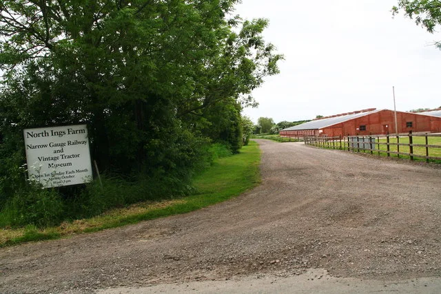
North Ings Farm Museum
North Ings Farm Museum — Farm museum in Dorrington, England.
 📷 3
📷 3Historic bridges · East Midlands
Bridge Over Old River Slea
Bridge Over Old River Slea — Grade II listed building-listed bridge in england-east-midlands, United Kingdom.
 📷 3
📷 3Towns & cities · East Midlands
Bloxholm
Bloxholm — village in Lincolnshire, United Kingdom.
More towns in this region
 Flagship📷 3
Towns & cities · East Midlands
Aldborough
Aldborough — village in Norfolk, England, UK.
 Flagship📷 4
Towns & cities · East Midlands
Alderford
Alderford — village and civil parish in Norfolk, UK.
 Flagship📷 5
Towns & cities · East Midlands
Ashmanhaugh
Ashmanhaugh — village in Norfolk, England, UK.
 Flagship📷 3
Towns & cities · East Midlands
Attlebridge
Attlebridge — a village located in Broadland, United Kingdom.
Frequently asked questions
- Where is Ruskington?
- Ruskington is in Lincolnshire, the East Midlands, United Kingdom (postcode NG34 9AB), in the parish of Ruskington.
- Is Ruskington free to visit?
- Yes, Ruskington is free to enter.
- How do I get to Ruskington?
- The nearest railway station is Ruskington, about 0.6 km away. Drivers can navigate to postcode NG34 9AB.