Mountains & hills · North East England
Rowling End
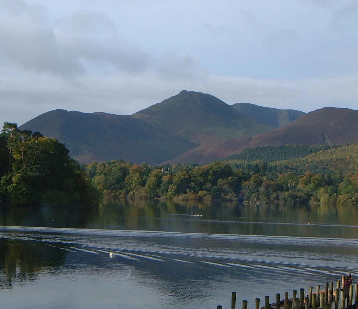
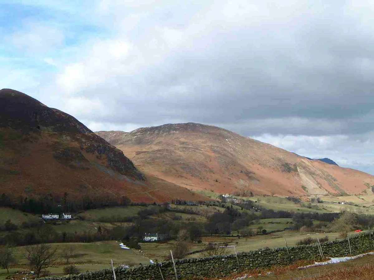
Rowling End — Named summit at 433 m.

Wikimedia Commons contributors — see linked file page for photographer and licence licence
Plan your visit
- Typical visit
- 3 h–8 h
- Best time of year
- Late spring – early autumn (May–Oct)
- Free entry
- Dog-friendly
About
Rowling End is a named summit in the United Kingdom. Wikidata describes it as: "Named summit at 433 m.". Coordinates: 54.5756°, -3.1938°.
Photo gallery
Protected designations
- Site of Special Scientific Interest: River Derwent and Tributaries SSSI
- Site of Special Scientific Interest: Buttermere Fells SSSI
Designations sourced from Natural England open data under OGL v3.
From the Wikipedia article
Rowling End is a peak in the Lake District about 433 meters it is a steep slope leading up towards Causey Pike. It is briefly mentioned in books however they mainly focus on Causey Pike. The summit has a small cairn on it amongst the heather and other shrubs and plants.
Excerpt from Wikipedia under CC BY-SA 4.0. See the source article linked in Sources below.
- Coordinates
- 54.5756, -3.1938
- District
- Cumberland
- Parish
- Above Derwent
- Postcode
- CA12 5TS
- Parliamentary constituency
- Penrith and Solway
Sources
- osm: n373110433 (ODbL)
- wikipedia: Rowling End (CC BY-SA 4.0)
- commons: Causey Pike from Derwentwater.jpg (CC BY-SA 4.0)
Other places nearby
Loading nearby places…
Nearby
 📷 3
📷 3Historic bridges · North East England
Stair Bridge
Stair Bridge — Grade II listed building-listed bridge in england-north-east, United Kingdom.
 📷 3
📷 3Mountains & hills · North East England
Causey Pike
Causey Pike — Named summit at 637 m.
 📷 3
📷 3Natural landmarks · North East England
Causey Pike
Causey Pike — mountain in United Kingdom.
 📷 3
📷 3Mountains & hills · North East England
Barrow
Barrow — Named summit at 455 m.
 📷 3
📷 3Natural landmarks · North East England
Barrow
Barrow — fell in the Lake District, England.
 📷 3
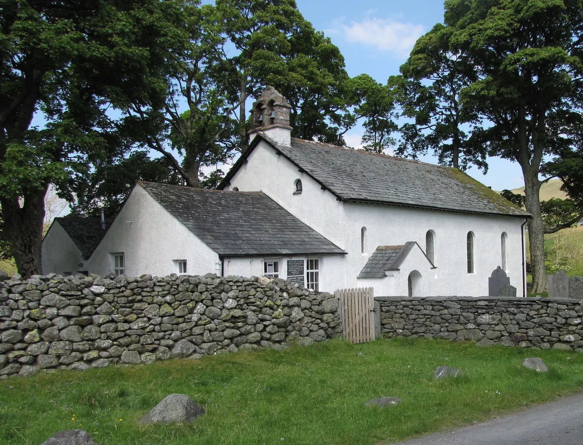
📷 3Historic churches · North East England
Newlands Church
Newlands Church — church in Above Derwent, Cumbria, England, UK.
More mountains in this region
 📷 3
📷 3Mountains & hills · North East England
Angletarn Pikes
Angletarn Pikes — Named summit at 566 m.
 📷 3
📷 3Mountains & hills · North East England
Angletarn Pikes South Top
Angletarn Pikes South Top — Named summit at 563.6 m.
 📷 3
📷 3Mountains & hills · North East England
Ard Crags
Ard Crags — Named summit at 581 m.
 📷 3
📷 3Mountains & hills · North East England
Arnison Crag
Arnison Crag — Named summit at 433 m.
Frequently asked questions
- Where is Rowling End?
- Rowling End is in North-East England, United Kingdom (postcode CA12 5TS), in the parish of Above Derwent.
- Is Rowling End a protected site?
- Yes — Rowling End is part of the River Derwent and Tributaries SSSI Site of Special Scientific Interest and the Buttermere Fells SSSI Site of Special Scientific Interest.
- Is Rowling End free to visit?
- Yes, Rowling End is free to enter.
- How do I get to Rowling End?
- Drivers can navigate to postcode CA12 5TS. It sits within the Penrith and Solway parliamentary constituency.