Mountains & hills · South West England
Rough Tor
Also known as: Torr Garow
Rough Tor — Named summit at 400 m.

Wikimedia Commons contributors — see linked file page for photographer and licence licence
Plan your visit
- Typical visit
- 3 h–8 h
- Best time of year
- Late spring – early autumn (May–Oct)
- Free entry
- Dog-friendly
About
Rough Tor is a named summit in the United Kingdom. Also known as: Torr Garow. Wikidata describes it as: "Named summit at 400 m.". Coordinates: 50.5973°, -4.6220°.
Photo gallery
Protected designations
- Site of Special Scientific Interest: Bodmin Moor, North SSSI
- Site of Special Scientific Interest: River Camel Valley and Tributaries SSSI
- Area of Outstanding Natural Beauty: Cornwall
Designations sourced from Natural England open data under OGL v3.
From the Wikipedia article
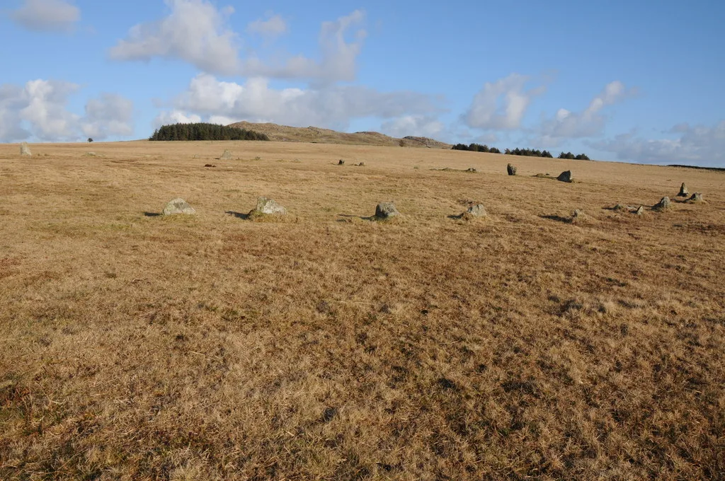
Rough Tor (), or Roughtor, is a tor on Bodmin Moor, Cornwall, England, United Kingdom. The site comprises the tor summit and logan stone, a Neolithic tor enclosure, many Bronze Age hut circles, and some contemporary monuments.
Excerpt from Wikipedia under CC BY-SA 4.0. See the source article linked in Sources below.
- Coordinates
- 50.5973, -4.6220
Sources
- osm: n1580724476 (ODbL)
- wikipedia: Rough Tor (CC BY-SA 4.0)
- commons: RoughTor.jpg (CC BY-SA 4.0)
Other places nearby
Loading nearby places…
Nearby
 📷 3
📷 3Memorials & monuments · South West England
43rd Wessex Memorial
43rd Wessex Memorial — a memorial in england-south-west, United Kingdom.
 📷 3
📷 3Archaeological sites · South West England
Hut Circles
Hut Circles — a archaeological in england-south-west, United Kingdom.
 📷 5
📷 5Memorials & monuments · South West England
Showery Tor
Showery Tor is a rocky outcrop on a ridge-top approximately 0.6 kilometres (0.37 mi) north of the Rough Tor summit, near Camelford on Bodmin Moor in Cornwall. It is notable for its rock formations and
 📷 5
📷 5Hill forts · South West England
Fernacre
Fernacre — stone circle on Bodmin Moor, Cornwall, England.
📷 3Stone circles · South West England
Fenacre Stone Circle
Fenacre Stone Circle — a stone circle in england-south-west, United Kingdom.
 📷 3
📷 3Historic houses · South West England
Slades
Slades — a historic house in england-south-west, United Kingdom.
More mountains in this region
 📷 5
📷 5Mountains & hills · South West England
Alex Tor
Alex Tor — Named summit at 291 m.
 📷 5
📷 5Mountains & hills · South West England
Ash Hole Cavern
Ash Hole Cavern — cave in Brixham, Devon, England, UK.
 📷 5
📷 5Mountains & hills · South West England
Babbacombe Bay
Babbacombe Bay — bay in Devon, England.
 📷 5
📷 5Mountains & hills · South West England
Barley Bay
Barley Bay — bay in the United Kingdom.
Frequently asked questions
- Where is Rough Tor?
- Rough Tor is in South-West England, United Kingdom.
- Is Rough Tor a protected site?
- Yes — Rough Tor is part of the Bodmin Moor, North SSSI Site of Special Scientific Interest and the River Camel Valley and Tributaries SSSI Site of Special Scientific Interest.
- Is Rough Tor free to visit?
- Yes, Rough Tor is free to enter.