Stadiums · Central Scotland
Rosebery Park
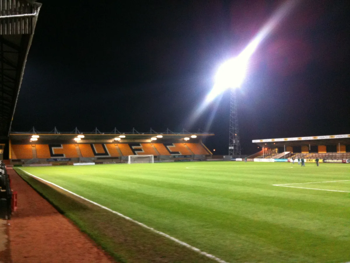
Rosebery Park — stadium in Glasgow City, Scotland, UK.

Lynn M Reid — CC BY-SA 2.0 via Wikimedia Commons licence
Plan your visit
- Typical visit
- 1.5 h–3 h
- Nearest railway station
- Dalmarnock · 1.2 km
About
Rosebery Park is a stadium in the United Kingdom. Records date its origin to 1918. Owned by Glasgow City Council. Wikidata describes it as: "stadium in Glasgow City, Scotland, UK". Coordinates: 55.8380°, -4.2360°.
Photo gallery
From the Wikipedia article
Rosebery Park was a football ground in the Oatlands area of Glasgow, Scotland. It was the home of Shawfield F.C. from 1918 to 1960, before being acquired by Glasgow Corporation as a venue for schools' football matches. The discovery that the site was contaminated led to the ground becoming derelict in the 1990s, and it was subsequently demolished.
Excerpt from Wikipedia under CC BY-SA 4.0. See the source article linked in Sources below.
Background
History
Rosebery Park was named after the former Prime Minister, the 5th Earl of Rosebery. Located on the south-west side of Toryglen Street near Polmadie Road, it was the home of Shawfield from 1918 to 1960. Pollok also sometimes used the ground in the late 1920s whilst they were without a permanent ground. Following the demise of Shawfield, the Glasgow Corporation Education Committee arranged to buy the ground in 1961 in order to provide a venue for the schools' football competitions they organised. After being refurbished at a total cost of £14,000, the ground was reopened for schools' matches in April 1963. Proposals to stage speedway racing were put forward during the winter of 1986 - 1987 but…
Sourced from Wikipedia under CC BY-SA 4.0.
- Coordinates
- 55.8380, -4.2360
- District
- Glasgow City
- Postcode
- G5 0AX
- Parliamentary constituency
- Glasgow East
- Established
- 1918
- Nearest railway station
- Dalmarnock — 1.2 km
Sources
- wikidata: Q16848982 (CC0)
- wikipedia: Rosebery Park (CC BY-SA 4.0)
Other places nearby
Loading nearby places…
Nearby
 📷 5
📷 5Historic churches · Central Scotland
St Margaret's Polmadie Church, 110 Polmadie Road, Glasgow
St Margaret's Polmadie Church, 110 Polmadie Road, Glasgow — category B listed building-listed church in scotland-central, United Kingdom.
📷 4Public art & sculpture · Central Scotland
Oatlands Girl
Oatlands Girl — a public art in scotland-central, United Kingdom.
 📷 3
📷 3Country parks · Central Scotland
Richmond Park
Richmond Park in Scotland Central, United Kingdom.
 📷 4
📷 4Stadiums · Central Scotland
Shawfield Stadium
Shawfield Stadium — stadium in Glasgow City, Scotland, UK.
 📷 3
📷 3Historic bridges · Central Scotland
Rutherglen Bridge
Rutherglen Bridge is a historic bridge in the United Kingdom.
 📷 3
📷 3Memorials & monuments · Central Scotland
Glasgow Local Government Reorganisation Tree Planting Plaque
Glasgow Local Government Reorganisation Tree Planting Plaque — a memorial in scotland-central, United Kingdom.
Other places from this era
 📷 5
📷 5Stadiums · London
Abbey Stadium
Abbey Stadium — homeground for Cambridge United F.C.
.jpg?width=1200) 📷 5
📷 5Stadiums · London
Bobby Moore statue
Bobby Moore statue — Public artwork (statue).
 📷 5
📷 5Stadiums · London
Brentford Community Stadium
Brentford Community Stadium — stadium in London, England.
 📷 5
📷 5Stadiums · London
Gallagher Stadium
Gallagher Stadium — Football stadium in Kent, England.
More places in this region
 📷 3
📷 3Stadiums · Central Scotland
Adamslie Park
Adamslie Park — stadium in East Dunbartonshire, Scotland, UK.
.jpg?width=1200) 📷 3
📷 3Stadiums · Central Scotland
Ainslie Park
Ainslie Park — football stadium Edinburgh, Scotland.
 📷 3
📷 3Stadiums · Central Scotland
Annfield Stadium
Annfield Stadium — stadium in Stirling, Scotland, UK.
 📷 3
📷 3Stadiums · Central Scotland
Armadale Stadium
Armadale Stadium — race track in Scotland.
Frequently asked questions
- Where is Rosebery Park?
- Rosebery Park is in central Scotland, United Kingdom (postcode G5 0AX).
- When was Rosebery Park built?
- Built or established in 1918.
- Who owns Rosebery Park?
- Rosebery Park is owned by Glasgow City Council.
- How do I get to Rosebery Park?
- The nearest railway station is Dalmarnock, about 1.2 km away. Drivers can navigate to postcode G5 0AX.