Climbing & bouldering crags · East Midlands
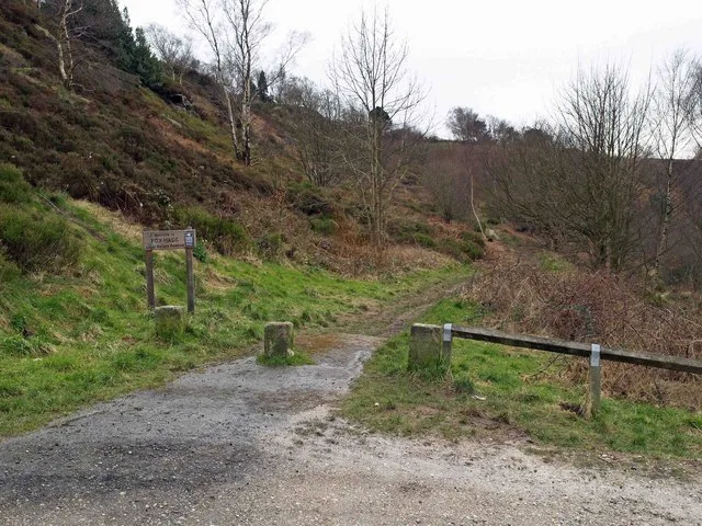
Rivelin Edge
Rivelin Edge — a climbing crag in england east midlands.
Plan your visit
- Typical visit
- 1 h–2 h
About
Rivelin Edge is a climbing crag located in england east midlands, mapped by OpenStreetMap contributors. Detailed amenities and visitor information may vary; check the OSM page for the latest tagged metadata.
- Coordinates
- 53.3822, -1.5805
Sources
- osm: w726968132 (ODbL)
Other places nearby
Loading nearby places…
Nearby
 📷 3
📷 3Wildlife reserves · East Midlands
Fox Hagg
Fox Hagg — nature Reserve in Sheffield, South Yorkshire, England.
 📷 3
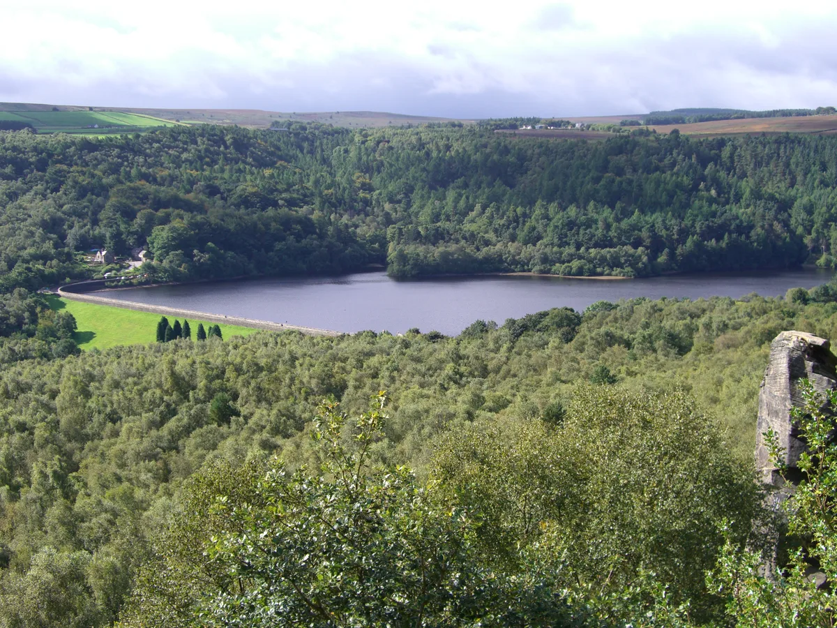
📷 3Reservoirs & lochs · East Midlands
Rivelin Dams
Rivelin Dams — pair of reservoirs in South Yorkshire, England.
 📷 3
📷 3Historic bridges · East Midlands
Rivelin Mill Bridge
Rivelin Mill Bridge — Grade II listed building-listed bridge in england-east-midlands, United Kingdom.
Campsites · East Midlands
Fox Hagg Farm Camp Site
Fox Hagg Farm Camp Site — a campsite in england east midlands.
Vineyards · East Midlands
Ash Cabin Flat
Ash Cabin Flat — a UK vineyard in england east midlands, producing English or Welsh wine from cool-climate grape varieties.
 📷 4
📷 4Historic houses · East Midlands
Revell Grange
Revell Grange — a Grade II*-listed historic house in england-east-midlands, United Kingdom.
More places in this region
 ★ Iconic📷 5
Climbing & bouldering crags · East Midlands
Stanage Edge
Britain's biggest climbing crag — four miles of Peak District gritstone.
Climbing & bouldering crags · East Midlands
Stanage End
Stanage End — a climbing crag in england east midlands.
Climbing & bouldering crags · East Midlands
Marble Wall
Marble Wall — a climbing crag in england east midlands.
Climbing & bouldering crags · East Midlands
Crow Chin
Crow Chin — a climbing crag in england east midlands.
Frequently asked questions
- Where is Rivelin Edge?
- Rivelin Edge is in East Midlands, in the United Kingdom — coordinates 53.3822°, -1.5805°.