Museums · North West England
Rawtenstall
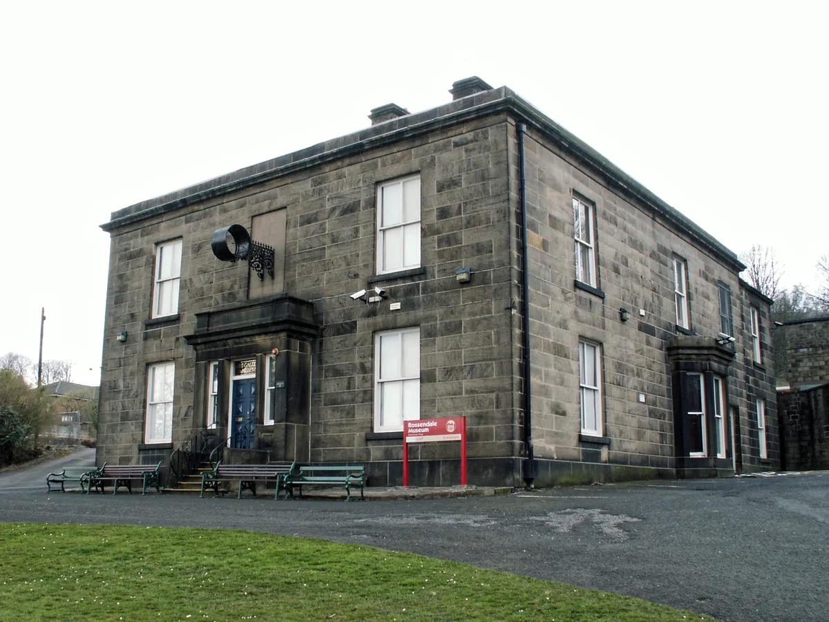
Rawtenstall () is a town in the borough of Rossendale, Lancashire, England. The town lies 15 miles (24 km) north of Manchester, 22 miles (35 km) east of Preston and 45 miles (70 km) south east of Lanc

David Dixon — CC BY-SA 2.0 via Wikimedia Commons licence
Plan your visit
- Typical visit
- 1.5 h–3 h
- Best time of year
- Year-round
- Family-friendly
- Limited wheelchair access
About
Rawtenstall () is a town in the borough of Rossendale, Lancashire, England. The town lies 15 miles (24 km) north of Manchester, 22 miles (35 km) east of Preston and 45 miles (70 km) south east of Lancaster. The town is at the centre of the Rossendale Valley. As of 2022, it had a population of 23,000.
Photo gallery
From the Wikipedia article
Rawtenstall () is a town in the borough of Rossendale, Lancashire, England. The town lies 15 miles (24 km) north of Manchester, 22 miles (35 km) east of Preston and 45 miles (70 km) south east of Lancaster. The town is at the centre of the Rossendale Valley. As of 2022, it had a population of 23,000.
Excerpt from Wikipedia under CC BY-SA 4.0. See the source article linked in Sources below.
Background
History
The earliest settlement at Rawtenstall was probably in the early Middle Ages, during the time when it formed part of the Rossendale Valley in the Honour of Clitheroe, and consisted of simple dwellings for forest servants and animals. More substantial buildings may have followed in the 15th and 16th centuries with corn and flour mills. The town entered a major period of growth during the Industrial Revolution, as new mills were constructed to process cotton. The climate and weather were conducive to the industry, as was the town's nearby location to the rapidly developing industrial and mercantile centre at Manchester, dubbed 'Cottonopolis'. Only a few of these mills survive today, and none…
Description
store]] on Bank Street (X43)]] , "the last temperance bar in England"]] By 2000, Rawtenstall's 1960s shopping centre had become deserted and boarded-up, and after 2003 various proposals were put forward regarding reconstruction or refurbishment. An agreement between Rossendale Council and the owners of the Rawtenstall centre, Ashcap, in February 2011, was said to "improve Rawtenstall town centre". In late 2011 the shopping centre was demolished, creating a new town square area, where local markets and other events are infrequently held. Rossendale Council funded the demolition using money set aside for a public pool in neighbouring town Haslingden. This move was controversial locally, but…
Sourced from Wikipedia under CC BY-SA 4.0.
- Coordinates
- 53.6990, -2.2910
- County
- Lancashire
- District
- Rossendale
- Parish
- Rossendale, unparished area
- Postcode
- BB4 6AJ
- Parliamentary constituency
- Rossendale and Darwen
- Official site
- www.eastlancsrailway.org.uk
Sources
- wikipedia: Rawtenstall (CC BY-SA 4.0)
Other places nearby
Loading nearby places…
Nearby
 📷 3
📷 3Public art & sculpture · North West England
Rawtenstall Cenotaph
Rawtenstall Cenotaph in England North West, United Kingdom.
 📷 3
📷 3Memorials & monuments · North West England
Longholme Methodist Church War Memorial
Longholme Methodist Church War Memorial — Grade II listed building-listed memorial in england-north-west, United Kingdom.
 📷 3
📷 3Memorials & monuments · North West England
Tower Of Former Holly Mount School In Old Fold Garden
Tower Of Former Holly Mount School In Old Fold Garden — Grade II listed building-listed memorial in england-north-west, United Kingdom.
 📷 3
📷 3Galleries · North West England
The Whitaker
The Whitaker — museum in Rossendale, United Kingdom.
 📷 3
📷 3Mills · North West England
Hardman's Mill
Hardman's Mill — mill in Rossendale, Lancashire, England, UK.
 📷 5
📷 5Mills · North West England
Ilex Mill
Ilex Mill — mill in Rossendale, Lancashire, England, UK.
More museums in this region
 📷 3
📷 3Museums · North West England
Abbot Hall Art Gallery
Abbot Hall Art Gallery — Grade I listed art museum in Kendal, United Kingdom.
 📷 4
📷 4Museums · North West England
Bancroft Shed
Bancroft Shed — mill museum in Barnoldswick, Pendle, Lancashire, England, UK.
 📷 3
📷 3Museums · North West England
Blackburn Museum and Art Gallery
Blackburn Museum and Art Gallery — museum in Lancashire, England.
 📷 5
📷 5Museums · North West England
Bolton Steam Museum
Bolton Steam Museum — industrial museum in England, United Kingdom.
Frequently asked questions
- Where is Rawtenstall?
- Rawtenstall is in North West England, in the United Kingdom — coordinates 53.6990°, -2.2910°.
- Is Rawtenstall wheelchair accessible?
- Partially — OpenStreetMap notes limited wheelchair access at Rawtenstall. Check ahead for specific facilities.