Mountains & hills · Yorkshire & the Humber
Rawdon Billing
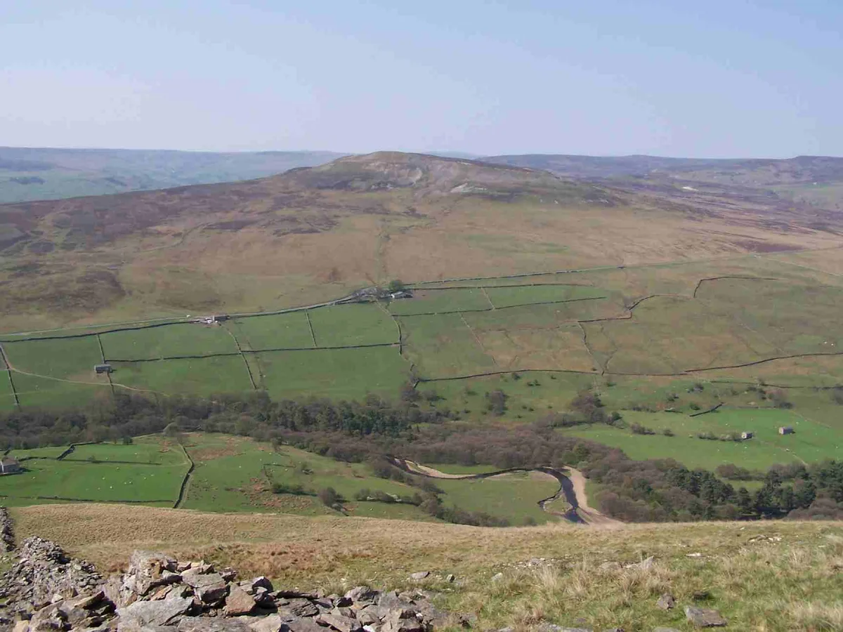
Rawdon Billing — Named summit at 231 m.

Wikimedia Commons contributors — see linked file page for photographer and licence licence
Plan your visit
- Typical visit
- 3 h–8 h
- Best time of year
- Late spring – early autumn (May–Oct)
- Nearest railway station
- Apperley Bridge · 2.7 km
- Free entry
- Dog-friendly
About
Rawdon Billing is a named summit in the United Kingdom. Wikidata describes it as: "Named summit at 231 m.". Coordinates: 53.8541°, -1.6710°.
Photo gallery
From the Wikipedia article
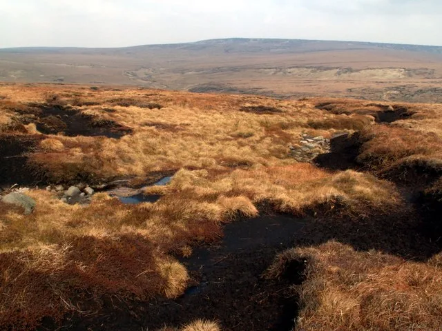
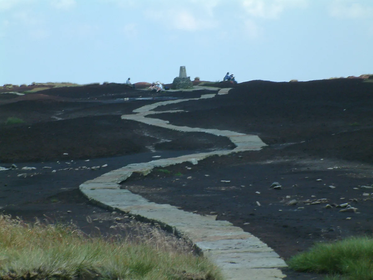
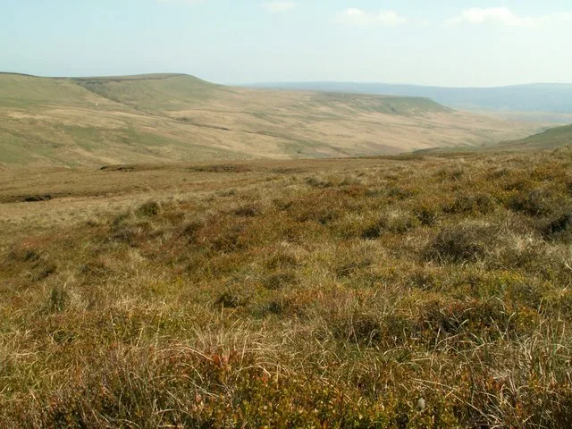
Rawdon Billing, sometimes referred to as Billing Hill, is a tree-topped hill situated in Rawdon, West Yorkshire, England. Reaching an elevation of 231 metres (758 ft), it is a significant landmark in the Aireborough area. The remains of a quarry, as well as concrete foundations for World War II defensive installations, can be found near the top. A number of local footpaths (81, 89, 90 and 91) cross the Billing or near to it, and it is possible to see many landmarks on a clear day, including York Minster, with a very good view of aircraft entering and leaving Leeds Bradford Airport. It is owned by the Rawdon Trust, land agents for the Emmott family from Lancashire. The Billing is a popular place for local walkers and plane spotters as it overlooks Leeds Bradford Airport. In 1778, a gold torc was found on the Billing. The whereabouts of the artifact is unknown. Though sparse, there is evidence of coal on the Billing; however, though it was used previously as a quarry, there is no sign of mining. Stone from the Billing was apparently used at the base of 48 Albion Street in Leeds city centre. The former bank now houses a Starbucks.
Excerpt from Wikipedia under CC BY-SA 4.0. See the source article linked in Sources below.
- Coordinates
- 53.8541, -1.6710
- District
- Leeds
- Parish
- Rawdon
- Postcode
- LS19 6RN
- Parliamentary constituency
- Leeds North West
- Nearest railway station
- Apperley Bridge — 2.7 km
Sources
- osm: n12498896742 (ODbL)
- wikipedia: Rawdon Billing (CC BY-SA 4.0)
- commons: Billing Fortifications.jpg (CC BY-SA 4.0)
Other places nearby
Loading nearby places…
Nearby
 📷 3
📷 3Viewpoints · Yorkshire & the Humber
Rawdon Trig point
Rawdon Trig point — Named viewpoint at 1 m elevation.
 📷 4
📷 4Golf courses · Yorkshire & the Humber
Horsforth Golf Club
Horsforth Golf Club is a golf course in the United Kingdom.
 📷 3
📷 3Memorials & monuments · Yorkshire & the Humber
Jack McHale
Jack McHale — a memorial in england-yorkshire, United Kingdom.
 📷 3
📷 3Natural landmarks · Yorkshire & the Humber
Emsley's Visitor Centre
Emsley's Visitor Centre — a natural landmark in england-yorkshire, United Kingdom.
 📷 3
📷 3Theatres · Yorkshire & the Humber
Yeadon Town Hall
Yeadon Town Hall is a theatre in the United Kingdom.
 📷 5
📷 5Theatres · Yorkshire & the Humber
The Yard
The Yard — a cinema heritage in england-yorkshire, United Kingdom.
More mountains in this region
 📷 3
📷 3Mountains & hills · Yorkshire & the Humber
Black Chew Head
Black Chew Head — Named summit at 542 m.
 📷 3
📷 3Mountains & hills · Yorkshire & the Humber
Black Hill
Black Hill — Named summit at 582 m.
 📷 3
📷 3Mountains & hills · Yorkshire & the Humber
Britland Edge Hill
Britland Edge Hill — Named summit at 523 m.
 📷 3
📷 3Mountains & hills · Yorkshire & the Humber
Calver Hill
Calver Hill — Named summit at 493 m.
Frequently asked questions
- Where is Rawdon Billing?
- Rawdon Billing is in Yorkshire, United Kingdom (postcode LS19 6RN), in the parish of Rawdon.
- Is Rawdon Billing free to visit?
- Yes, Rawdon Billing is free to enter.
- How do I get to Rawdon Billing?
- The nearest railway station is Apperley Bridge, about 2.7 km away. Drivers can navigate to postcode LS19 6RN.