Towns & cities · West Midlands
Radnage
Radnage — village and civil parish in Buckinghamshire, UK.

Wikimedia Commons contributors — see linked file page for photographer and licence licence
Plan your visit
- Typical visit
- 3 h–6 h
- Nearest railway station
- Saunderton · 3.2 km
- Free entry
- Family-friendly
- Dog-friendly
About
Radnage is a town, city, village or settlement in the United Kingdom. Recent population estimates put it at around 707 people. Address: HP14. Wikidata describes it as: "village and civil parish in Buckinghamshire, UK". Coordinates: 51.6680°, -0.8700°.
Photo gallery
Protected designations
- Area of Outstanding Natural Beauty: Chilterns
Designations sourced from Natural England open data under OGL v3.
From the Wikipedia article
Radnage is a village and civil parish in the Buckinghamshire district of Buckinghamshire, England. It is in the Chiltern Hills about two miles north east of Stokenchurch and six miles WNW of High Wycombe. The parish is set in folds of the Chiltern Hills to the south of Bledlow Ridge next to the border with Oxfordshire. Although not a large parish, the residential areas known as The City, Bennett End and Town End, are separate hamlets. Radnage (also spelled Radeneach, Rodenache etc. in old documents) meant ‘red oak’ in Old English.
Excerpt from Wikipedia under CC BY-SA 4.0. See the source article linked in Sources below.
Background
History
Settlement in the area dates back to Roman times as demonstrated by the excavation of a Romano-British glass ribbed bowl from the village, now in the British Museum. Radnage is not mentioned in Domesday Book and it appears from a 13th-century document to have been royal demesne attached to the manor of Brill. Later, it was divided into two parts. The smaller part was granted by King Henry I to the newly established Fontevrault Abbey in France and attached to property at Leighton in Bedfordshire, which was also given to Fontevrault. The larger part, known as Radnage Manor, was for a time retained by the crown and then in 1215 was granted by King John to the Knights Templar. When this order…
Sourced from Wikipedia under CC BY-SA 4.0.
- Coordinates
- 51.6680, -0.8700
- District
- Buckinghamshire
- Parish
- Radnage
- Postcode
- HP14
- Parliamentary constituency
- Mid Buckinghamshire
- Population
- 707
- Nearest railway station
- Saunderton — 3.2 km
- Official site
- www.radnage.net
Sources
- wikidata: Q1925344 (CC0)
- wikipedia: Radnage (CC BY-SA 4.0)
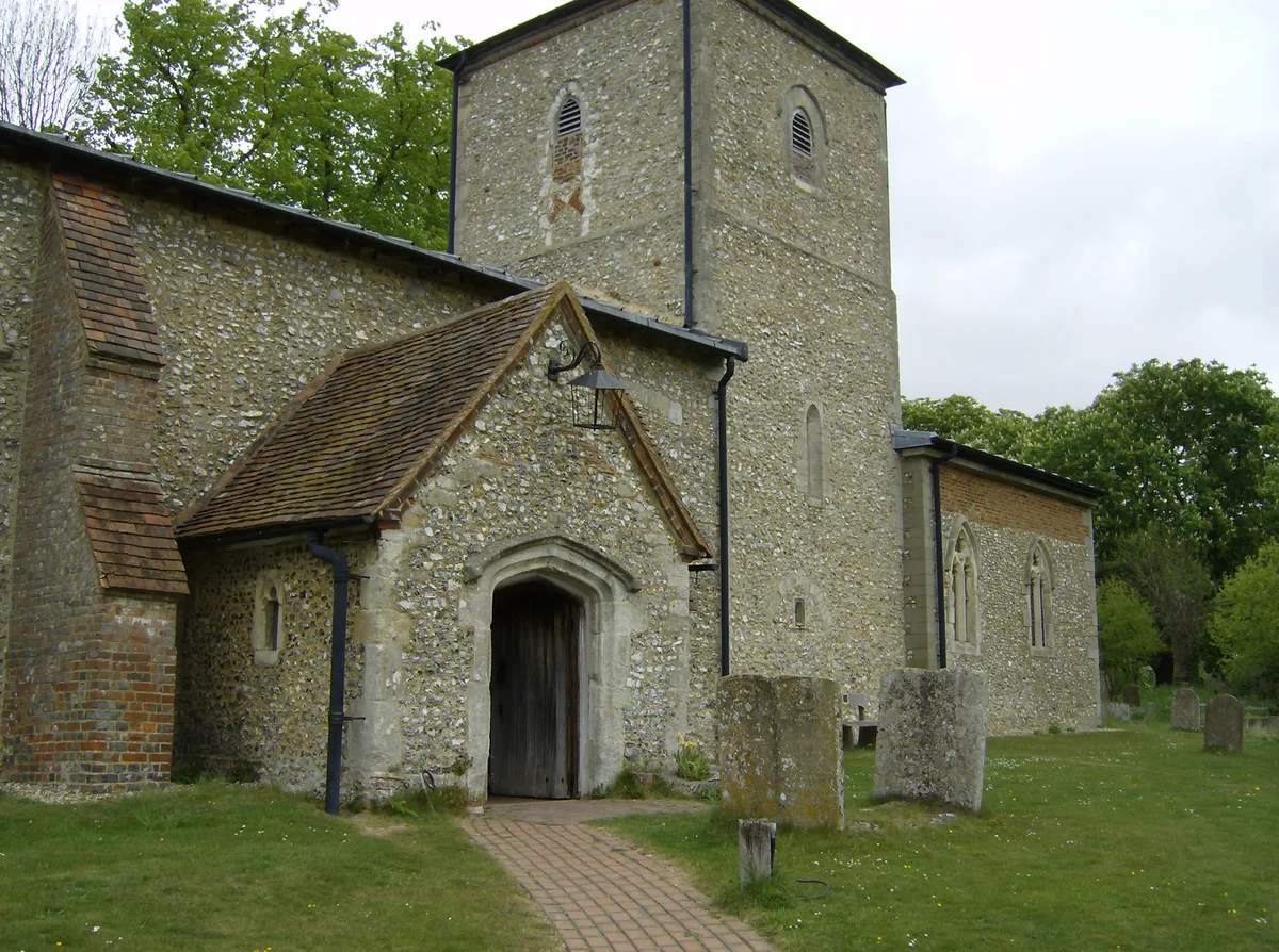
- commons: St. Mary's parish Church Radnage.jpg (CC BY-SA 4.0)
Other places nearby
Loading nearby places…
Nearby
Campsites · West Midlands
Home Farm
Home Farm — a campsite in england west midlands.
 📷 4
📷 4Memorials & monuments · West Midlands
Radnage War Memorial
Radnage War Memorial — Grade II listed building-listed memorial in england-west-midlands, United Kingdom.
 📷 3
📷 3Historic churches · West Midlands
Church of St Mary, Radnage
Church of St Mary, Radnage — church in Radnage Wycombe District, Buckinghamshire, England, UK.
 📷 3
📷 3Wildlife reserves · West Midlands
Yoesden
Yoesden — nature reserve in Buckinghamshire, England.
📷 3Forests & woodlands · West Midlands
Yoesden Nature Reserve
Yoesden Nature Reserve is a forest or woodland in the United Kingdom.
 📷 2
📷 2Archaeological sites · West Midlands
Bottom Wood
Bottom Wood — English nature reserve.
More towns in this region
 Flagship📷 3
Towns & cities · West Midlands
Adderbury
Adderbury — village and civil parish in Cherwell district, Oxfordshire, England.
 Flagship📷 3
Towns & cities · West Midlands
Admington
Admington — village in Warwickshire, England, UK.
 Flagship📷 3
Towns & cities · West Midlands
Aldington
Aldington — village in Worcestershire, United Kingdom.
 Flagship📷 5
Towns & cities · West Midlands
Anstey
Anstey — large village in Leicestershire, England.
Frequently asked questions
- Where is Radnage?
- Radnage is in the West Midlands, United Kingdom (postcode HP14), in the parish of Radnage.
- Is Radnage a protected site?
- Yes — Radnage is part of the Chilterns National Landscape (AONB).
- Is Radnage free to visit?
- Yes, Radnage is free to enter.
- How do I get to Radnage?
- The nearest railway station is Saunderton, about 3.2 km away. Drivers can navigate to postcode HP14.