Viewpoints · Central Scotland
Queen's View
Queen's View is a viewpoint in the United Kingdom.

Stephen Sweeney — CC BY-SA 2.0 via Wikimedia Commons licence
Plan your visit
- Typical visit
- 20 min–45 min
- Best time of year
- Clear days year-round
- Nearest railway station
- Milngavie · 7.8 km
- Free entry
- Dog-friendly
About
Queen's View is a named viewpoint in central Scotland, marked on Ordnance Survey maps for its outlook. It sits within the Stirling and Strathallan parliamentary constituency. The nearest railway station is Milngavie, about 7.8 km away. Postcode area G63.
Photo gallery
From the Wikipedia article
Loch Tummel (Scottish Gaelic: Loch Teimheil) is a long, narrow loch, seven kilometres (4+1⁄2 miles) northwest of Pitlochry in the council area of Perth and Kinross, Scotland. It is fed and drained by the River Tummel, which flows into the River Tay about 13 km (8 mi) south-east of the Clunie Dam at the loch's eastern end. The loch is traversed by roads to both north and south. Along the northern side the road is numbered as the B8019, and runs from the Pass of Killiecrankie on the A9 in the east to Tummel Bridge at the head of the loch. The road on the southern side is unclassified, and meets the A9 further south, near to Pitlochry. The loch gives its name to the Loch Tummel National Scenic Area (NSA), one of 40 such areas in Scotland, which are defined so as to identify areas of exceptional scenery and to ensure its protection by restricting certain forms of development. The Loch Tummel Lyon NSA covers 9,013 hectares (22,272 acres), all of which lies within Perth and Kinross. The NSA covers the hills surrounding the loch, and extends along the River Tummel to also take in the area surrounding the Pass of Killiecrankie on the River Garry.
Excerpt from Wikipedia under CC BY-SA 4.0. See the source article linked in Sources below.
- Coordinates
- 55.9974, -4.3894
- District
- Stirling
- Postcode
- G63 9BA
- Parliamentary constituency
- Stirling and Strathallan
- Nearest railway station
- Milngavie — 7.8 km
Sources
- osm: n71235429 (ODbL)
- wikipedia: The Queen's View (CC BY-SA 4.0)
Other places nearby
Loading nearby places…
Nearby
Vineyards · Central Scotland
Quinloch Muir
Quinloch Muir — a UK vineyard in scotland central, producing English or Welsh wine from cool-climate grape varieties.
Campsites · Central Scotland
Auchengillan Outdoor Centre
Auchengillan Outdoor Centre — a campsite in scotland central.
 📷 3
📷 3Viewpoints · Central Scotland
Auchineden
Auchineden — Named viewpoint at 357 m elevation.
Climbing & bouldering crags · Central Scotland
The Whangie
The Whangie — a climbing crag in scotland central.
 📷 3
📷 3Distilleries · Central Scotland
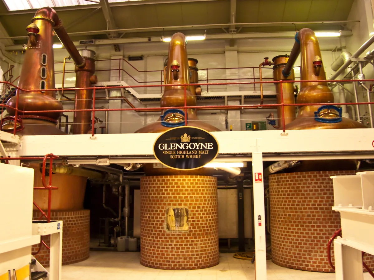
Glengoyne Distillery
Glengoyne Distillery — Whisky/spirit distillery.
 📷 3
📷 3Distilleries · Central Scotland
Glengoyne Distillery
Glengoyne Distillery — Whisky/spirit distillery.
More viewpoints in this region
 📷 3
📷 3Viewpoints · Central Scotland
1745 Battlefield Viewpoint
1745 Battlefield Viewpoint is a viewpoint in the United Kingdom.
 📷 3
📷 3Viewpoints · Central Scotland
Aidans Brae Viewpoint
Aidans Brae Viewpoint is a viewpoint in the United Kingdom.
 📷 3
📷 3Viewpoints · Central Scotland
Alloa Dock
Alloa Dock is a viewpoint in the United Kingdom.
 📷 3
📷 3Viewpoints · Central Scotland
Altarstanes
Altarstanes is a viewpoint in the United Kingdom.
Frequently asked questions
- Where is Queen's View?
- Queen's View is in central Scotland, United Kingdom (postcode G63 9BA).
- Is Queen's View free to visit?
- Yes, Queen's View is free to enter.
- How do I get to Queen's View?
- The nearest railway station is Milngavie, about 7.8 km away. Drivers can navigate to postcode G63 9BA.