Museums · South West England
Quantock Hills
The Quantock Hills west of Bridgwater in Somerset, England, consist of heathland, oak woodlands, ancient parklands and agricultural land. They were England's first Area of Outstanding Natural Beauty,

Chris Andrews — CC BY-SA 2.0 via Wikimedia Commons licence
Plan your visit
- Typical visit
- 1.5 h–3 h
- Best time of year
- Year-round
- Family-friendly
- Limited wheelchair access
About
The Quantock Hills west of Bridgwater in Somerset, England, consist of heathland, oak woodlands, ancient parklands and agricultural land. They were England's first Area of Outstanding Natural Beauty, designated in 1956, and now termed a National Landscape. Natural England have designated the Quantock Hills as a national character area. They are entirely surrounded by another: the Vale of Taunton and Quantock Fringes. The hills run from the Vale of Taunton Deane in the south, for about 15 miles (24 km) to the north-west, ending at Kilve and West Quantoxhead on the coast of the Bristol Channel. They form the western border of Sedgemoor and the Somerset Levels. From the top of the hills on a clear day, it is possible to see Glastonbury Tor and the Mendips to the east, Wales as far as the Gower Peninsula to the north, the Brendon Hills and Exmoor to the west, and the Blackdown Hills to the south. The highest point on the Quantocks is Wills Neck, at 1,261 feet (384 m). Soil types and weather combine to support the hills' plants and animals. In 1970, an area of 6,194.5 acres (2,506.8 ha) was designated as a Biological Site of Special Scientific Interest. Archaeological landscape features include Bronze Age round barrows, extensive ancient field systems and Iron Age hill forts. Roman silver coins have been discovered in West Bagborough. The hills are popular with walkers, mountain bikers, horse riders and tourists who explore paths such as the Coleridge Way.
Photo gallery
From the Wikipedia article
The Quantock Hills west of Bridgwater in Somerset, England, consist of heathland, oak woodlands, ancient parklands and agricultural land. They were England's first Area of Outstanding Natural Beauty, designated in 1956, and now termed a National Landscape. Natural England have designated the Quantock Hills as a national character area. They are entirely surrounded by another: the Vale of Taunton and Quantock Fringes. The hills run from the Vale of Taunton Deane in the south, for about 15 miles (24 km) to the north-west, ending at Kilve and West Quantoxhead on the coast of the Bristol Channel. They form the western border of Sedgemoor and the Somerset Levels. From the top of the hills on a clear day, it is possible to see Glastonbury Tor and the Mendips to the east, Wales as far as the Gower Peninsula to the north, the Brendon Hills and Exmoor to the west, and the Blackdown Hills to the south. The highest point on the Quantocks is Wills Neck, at 1,261 feet (384 m). Soil types and weather combine to support the hills' plants and animals. In 1970, an area of 6,194.5 acres (2,506.8 ha) was designated as a Biological Site of Special Scientific Interest. Archaeological landscape features include Bronze Age round barrows, extensive ancient field systems and Iron Age hill forts. Roman silver coins have been discovered in West Bagborough. The hills are popular with walkers, mountain bikers, horse riders and tourists who explore paths such as the Coleridge Way.
Excerpt from Wikipedia under CC BY-SA 4.0. See the source article linked in Sources below.
Background
History
Evidence of activity in the Quantocks from prehistoric times includes finds of Mesolithic flints at North Petherton and Broomfield and many Bronze Age round barrows (marked on maps as tumulus, plural tumuli), such as Thorncombe Barrow above Bicknoller. Several ancient stones can be seen, such as the Triscombe Stone and the Long Stone above Holford. Many of the tracks along ridges of the Quantocks probably originated as ancient ridgeways. The Dowsborough fort has an oval shape, with a single rampart and ditch (univallate) following the contours of the hill top, enclosing an area of 7 acre. The main entrance is to the east, towards Nether Stowey, with a simpler opening to the north west,…
Sourced from Wikipedia under CC BY-SA 4.0.
- Coordinates
- 51.1442, -3.2331
- District
- Somerset
- Parish
- Bicknoller
- Postcode
- TA4 4BD
- Parliamentary constituency
- Tiverton and Minehead
- Official site
- www.quantockhills.com
Sources
- wikipedia: Quantock Hills (CC BY-SA 4.0)
Other places nearby
Loading nearby places…
Nearby
 📷 5
📷 5Historic houses · South West England
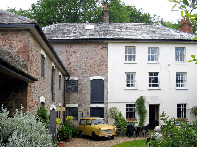
Halsway Manor
Halsway Manor — former manorial estate in Stogumber, Somerset, England, UK.
 📷 5
📷 5Memorials & monuments · South West England
Folly
Folly is a memorial in the United Kingdom.
Hotels · South West England
Combe House Hotel
Combe House Hotel — a hotel in england south west.
 📷 3
📷 3Archaeological sites · South West England
Trendle Ring
Trendle Ring — a archaeological in england-south-west, United Kingdom.
Vineyards · South West England
Trendle Ring
prehistoric earthwork on the Quantock Hills near Bicknoller in Somerset, England, UK
 📷 3
📷 3Archaeological sites · South West England
Dowsborough Fort
Dowsborough Fort — a archaeological in england-south-west, United Kingdom.
More museums in this region
 📷 5
📷 5Museums · South West England
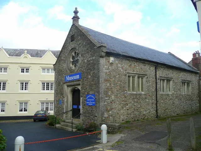
Allhallows Museum
Allhallows Museum — museum in Honiton, Devon, England, United Kingdom.
 📷 5
📷 5Museums · South West England
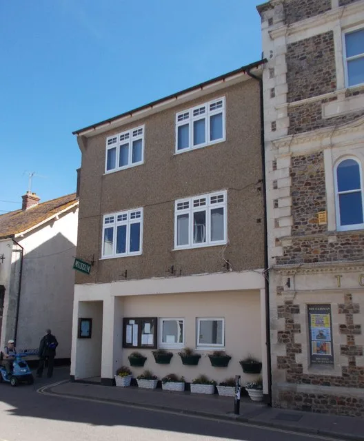
Axe Valley Heritage Museum
Axe Valley Heritage Museum — museum in Seaton, England, UK.
 📷 5
📷 5Museums · South West England
Bakelite Museum
Bakelite Museum is a museum in the United Kingdom.
 📷 5
📷 5Museums · South West England
Barometer World
Barometer World — former museum in Devon, England.
Frequently asked questions
- Where is Quantock Hills?
- Quantock Hills is in South West England, in the United Kingdom — coordinates 51.1442°, -3.2331°.
- Is Quantock Hills wheelchair accessible?
- Partially — OpenStreetMap notes limited wheelchair access at Quantock Hills. Check ahead for specific facilities.