Islands · South West England
Q1788486
Q1788486 — island in United Kingdom.

Wikimedia Commons contributors — see linked file page for photographer and licence licence
Plan your visit
- Typical visit
- 4 h–12 h
- Free entry
- Dog-friendly
About
Q1788486 is a island in the United Kingdom. It covers approximately 366 km². Recent population estimates put it at around 73 people. Part of Isles of Scilly. Wikidata describes it as: "island in United Kingdom". Coordinates: 49.8910°, -6.3430°.
Photo gallery
Protected designations
- Area of Outstanding Natural Beauty: Isles Of Scilly
Designations sourced from Natural England open data under OGL v3.
From the Wikipedia article
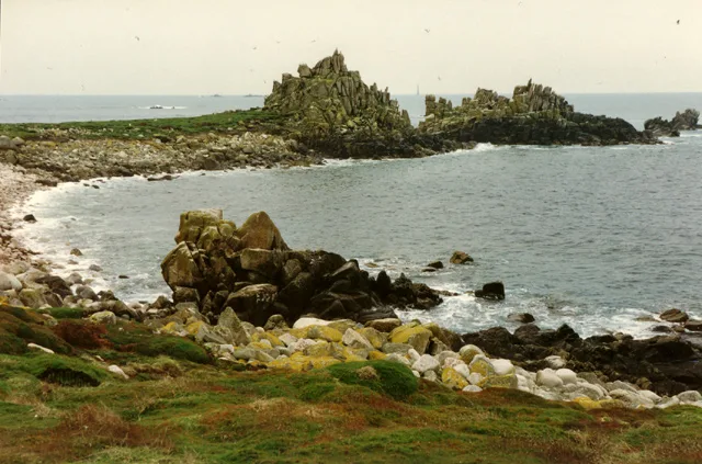
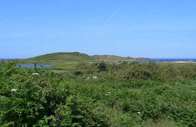
St Agnes (Cornish: Agenys) is the southernmost populated island of the Isles of Scilly. Thus the island's Troy Town Farm is the southernmost settlement in the United Kingdom.
Excerpt from Wikipedia under CC BY-SA 4.0. See the source article linked in Sources below.
Background
Description
from St. Agnes to Gugh]] St Agnes joins the island of Gugh by a tombolo, a kind of sandbar, called the Gugh Bar, which is exposed only at low tide. The Gugh is inhabited, with some three residents. The two islands of St Agnes and Gugh together have a population of 85 residents recorded in the 2011 census (73 were recorded in the 2001 census) and a landmass of 366 acre. Without the Gugh included, St Agnes is marginally smaller than Bryher in both population and area; however if Gugh is included with St Agnes, it is Bryher that is marginally smaller in area and population. In earlier times many men from St Agnes earned a living as pilots, guiding transatlantic liners and other vessels through…
Sourced from Wikipedia under CC BY-SA 4.0.
- Coordinates
- 49.8910, -6.3430
- District
- Isles of Scilly
- Parish
- St Agnes
- Postcode
- TR22 0PL
- Parliamentary constituency
- St Ives
- Population
- 73
Sources
- wikidata: Q1788486 (CC0)
- wikipedia: St Agnes, Isles of Scilly (CC BY-SA 4.0)
- commons: St Agnes Quay - geograph.org.uk - 2374470.jpg (CC BY-SA 4.0)
Other places nearby
Loading nearby places…
Nearby
 📷 5
📷 5Archaeological sites · South West England
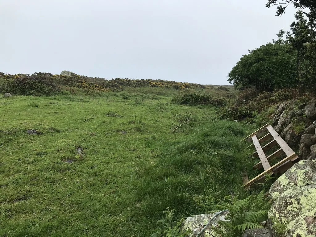
Prehistoric field system, settlement and cairn east of Barnaby Lane, St Agnes
Prehistoric field system, settlement and cairn east of Barnaby Lane, St Agnes — archaeological site in St Agnes, Scilly Isles, Cornwall, England, UK.
 📷 3
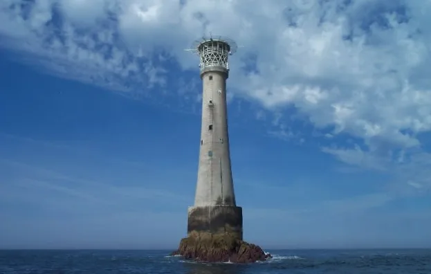
📷 3Lighthouses · South West England
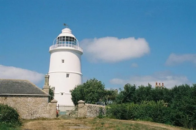
St Agnes Lighthouse
St Agnes Lighthouse — lighthouse in Cornwall, England, UK.
 📷 5
📷 5Beaches · South West England
Cove Vean
Cove Vean is a beach in the United Kingdom.
 📷 3
📷 3Historic churches · South West England
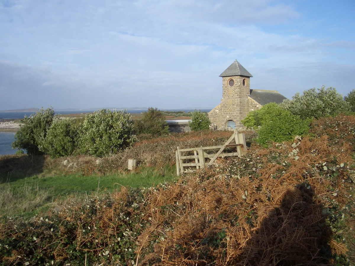
St Agnes' Church
St Agnes' Church — church in St Agnes, Isles of Scilly, Cornwall, England, UK.
 📷 5
📷 5Beaches · South West England
Gugh Bar
Gugh Bar is a beach in the United Kingdom.
Campsites · South West England
Troytown Farm Campsite
Troytown Farm Campsite — a campsite in england south west.
More places in this region
 Flagship📷 10
Islands · South West England
Annet
Annet — island in Isles of Scilly, United Kingdom.
 Flagship📷 10
Islands · South West England
Bishop Rock
Bishop Rock — islet in the Atlantic Ocean, at the Isles of Scilly, England.
 Flagship📷 10
Islands · South West England
Bryher
Bryher — island of the Isles of Scilly, Cornwall, England.
 📷 8
📷 8Islands · South West England
Castle Bryher
Castle Bryher — island in Isles of Scilly, United Kingdom.
Frequently asked questions
- Where is Q1788486?
- Q1788486 is in South-West England, United Kingdom (postcode TR22 0PL), in the parish of St Agnes.
- Is Q1788486 a protected site?
- Yes — Q1788486 is part of the Isles Of Scilly National Landscape (AONB).
- Is Q1788486 free to visit?
- Yes, Q1788486 is free to enter.
- How do I get to Q1788486?
- Drivers can navigate to postcode TR22 0PL. It sits within the St Ives parliamentary constituency.