Historic bridges · South East England
Pulteney Bridge
Pulteney Bridge is a historic bridge in the United Kingdom.

Wikimedia Commons contributors — see linked file page for photographer and licence licence
Plan your visit
- Typical visit
- 15 min–30 min
- Nearest railway station
- Bath Spa · 0.6 km
- Free entry
- Family-friendly
- Dog-friendly
- Wheelchair accessible
About
Pulteney Bridge is a named historic bridge in the United Kingdom. Designed by Robert Adam. Address: Bath. Coordinates: 51.3830°, -2.3579°.
Photo gallery
Heritage listing
Pulteney Bridge is a bridge over the River Avon in Bath, England. It was completed by 1774, and connected the city with land in Bathwick which the Pulteney family wished to develop. Designed by Robert Adam in a Palladian style, it is one of only four bridges in the world to have shops across its full span on both sides. It has been designated as a Grade I listed building. The bridge is named after Frances Pulteney, wife of the Scottish lawyer and politician Sir William Pulteney, 5th Baronet. Frances was a first cousin once removed of William Pulteney, 1st Earl of Bath. She inherited the Earl's substantial fortune in Somerset after his death in 1764.
From the Historic England List Entry under OGL v3.
Protected designations
- Site of Special Scientific Interest: Combe Down and Bathampton Down Mines SSSI
- Area of Outstanding Natural Beauty: Cotswolds
Designations sourced from Natural England open data under OGL v3.
From the Wikipedia article
Pulteney Bridge is a bridge over the River Avon in Bath, England. It was completed by 1774, and connected the city with land in Bathwick which the Pulteney family wished to develop. Designed by Robert Adam in a Palladian style, it is one of only four bridges in the world to have shops across its full span on both sides. It has been designated as a Grade I listed building. The bridge is named after Frances Pulteney, wife of the Scottish lawyer and politician Sir William Pulteney, 5th Baronet. Frances was a first cousin once removed of William Pulteney, 1st Earl of Bath. She inherited the Earl's substantial fortune in Somerset after his death in 1764. The rural Bathwick estate, which Frances and William inherited in 1767, was across the river from the city and could be reached only by ferry. William made plans to create a new town, which would become a suburb to the historic city of Bath, but first he needed a better river crossing. Within 20 years of its construction, alterations were made that expanded the shops and changed the façades. By the end of the 18th century, it had been damaged by floods, but was rebuilt to a similar design. Over the next century alterations to the shops included cantilevered extensions on the bridge's north face. In the 20th century, several schemes were carried out to preserve the bridge and partially return it to its original appearance, enhancing its appeal as a tourist attraction. The bridge is now 45 metres (148 ft) long and 18 metres (58 ft) wide. Although there have been plans to pedestrianise the bridge, it is still used by buses and taxis. The much photographed bridge and weir below are close to the centre of the city, a World Heritage Site, renowned for its Georgian architecture.
Excerpt from Wikipedia under CC BY-SA 4.0. See the source article linked in Sources below.
Background
History
The bridge is named after Frances Pulteney, wife of Sir William Pultney. He was a wealthy Scottish lawyer and Member of Parliament (MP). Frances was the third daughter of MP and government official Daniel Pulteney (1684–1731) and first cousin once removed of William Pulteney, 1st Earl of Bath. She inherited the earl's substantial fortune and estates close to Bath in Somerset after his death in 1764 and that of his younger brother and heir in 1767, and the Johnstones changed their surname to Pulteney. The rural Bathwick estate, which Frances and William inherited in 1767, was across the river from the city and could be reached only by ferry. William made plans to create a new town, which…
Architecture
]] The bridge features a narrow street flanked by two full length rows of shops designed in the Palladian style c. 1770. All sit above three segmental arches of equal span. The shops on the north side have cantilevered rear extensions. Consequently, the northern external façade of the bridge is asymmetrical, much altered and of no architectural merit, was constructed between 1968 and 1972 as part of a flood-prevention scheme. Further restoration was undertaken in 1975.
Sourced from Wikipedia under CC BY-SA 4.0.
- Coordinates
- 51.3830, -2.3579
- District
- Bath and North East Somerset
- Parish
- Bath and North East Somerset, unparished area
- Postcode
- BA2 4AY
- Parliamentary constituency
- Bath
- Nearest railway station
- Bath Spa — 0.6 km
- Opening
- | closed =
- Official site
- www.victoriagal.org.uk
Sources
- osm: w369771678 (ODbL)
- wikipedia: Pulteney Bridge (CC BY-SA 4.0)
- commons: Pulteney bridge in Bath view from south before noon.jpg (CC BY-SA 4.0)
Featured in these 2 guides
Other places nearby
Loading nearby places…
Nearby
Cafés · South East England
Poppy's Bakery
Poppy's Bakery — a café in england south east.
Cafés · South East England
Pulteney Kitchen
Pulteney Kitchen — a café in england south east.
 📷 5
📷 5Natural landmarks · South East England
Pulteney Cruisers Ltd
Pulteney Cruisers Ltd — a other in england-south-east, United Kingdom.
 📷 5
📷 5Galleries · South East England
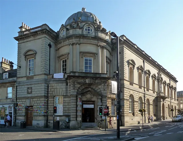
Victoria Art Gallery
Victoria Art Gallery — art museum in Bath, Somerset, England, United Kingdom.
 📷 5
📷 5Natural landmarks · South East England
East Gate
East Gate — a other in england-south-east, United Kingdom.
 📷 5
📷 5Natural landmarks · South East England
The Nail
The Nail — a other in england-south-east, United Kingdom.
Other works by Robert Adam
 Flagship📷 10
Museums · London
Kenwood House
Kenwood House — art museum and historic house in Hampstead, London.
 📷 5
📷 5Galleries · London
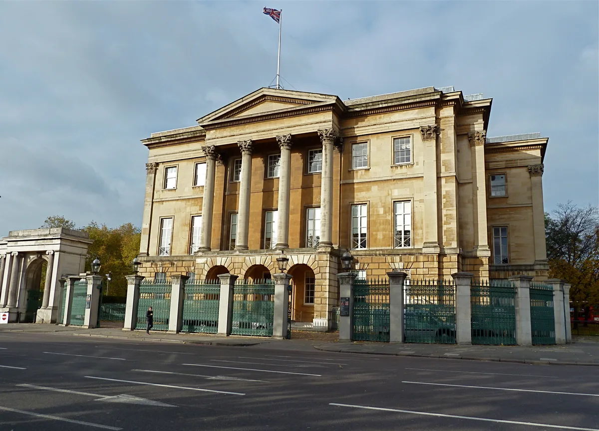
Apsley House
Apsley House — London townhouse of the Dukes of Wellington.
 📷 5
📷 5Historic houses · London
Chandos House
Chandos House — Grade I listed house in Marylebone, London, England, UK.
.jpg?width=1200) 📷 5
📷 5Historic houses · London
Lansdowne House
Lansdowne House — house in Berkeley Square, City of Westminster, London, England, UK.
More bridges in this region
 📷 5
📷 5Historic bridges · South East England
Arundel Bridge
Arundel Bridge is a historic bridge in the United Kingdom.
 📷 5
📷 5Historic bridges · South East England
Ash Aqueduct
Ash Aqueduct is a historic bridge in the United Kingdom.
 📷 5
📷 5Historic bridges · South East England
Avoncliff Aqueduct
Avoncliff Aqueduct is a historic bridge in the United Kingdom.
📷 5Historic bridges · South East England
Avoncliff Aqueduct
Avoncliff Aqueduct is a historic bridge in the United Kingdom.
Frequently asked questions
- Where is Pulteney Bridge?
- Pulteney Bridge is in South-East England, United Kingdom (postcode BA2 4AY), in the parish of Bath and North East Somerset, unparished area.
- Is Pulteney Bridge a listed building?
- Pulteney Bridge is officially recognised as Grade I listed building listed.
- Is Pulteney Bridge a protected site?
- Yes — Pulteney Bridge is part of the Combe Down and Bathampton Down Mines SSSI Site of Special Scientific Interest and the Cotswolds National Landscape (AONB).
- Is Pulteney Bridge free to visit?
- Yes, Pulteney Bridge is free to enter.
- How do I get to Pulteney Bridge?
- The nearest railway station is Bath Spa, about 0.6 km away. Drivers can navigate to postcode BA2 4AY.