Forests & woodlands · South East England
Pulborough Brooks Nature Reserve
Pulborough Brooks Nature Reserve is a forest or woodland in the United Kingdom.

Wikimedia Commons contributors — see linked file page for photographer and licence licence
Plan your visit
- Typical visit
- 1 h–3 h
- Nearest railway station
- Pulborough · 2.0 km
- Free entry
- Family-friendly
- Dog-friendly
About
Pulborough Brooks Nature Reserve is a named forest, woodland or nature reserve in the United Kingdom. Coordinates: 50.9425°, -0.5017°.
Photo gallery
Protected designations
- Site of Special Scientific Interest: Pulborough Brooks SSSI
- Ramsar wetland: Arun Valley
Designations sourced from Natural England open data under OGL v3.
From the Wikipedia article
Pulborough Brooks is a 160-hectare (400-acre) biological Site of Special Scientific Interest south of Pulborough in West Sussex. It is part of the Pulborough Brooks nature reserve, which is owned and managed by the Royal Society for the Protection of Birds. It is also part of the Arun Valley Ramsar site, Special Area of Conservation and Special Protection Area. These wet meadows are crossed by a network of ditches, some of which have a rich aquatic flora and invertebrate fauna, including several which are nationally rare. The site is internationally important for wintering wildfowl and many species of birds breed there, such as lapwing, snipe, garganey, yellow wagtail, grey partridge, skylark, reed bunting and barn owl.
Excerpt from Wikipedia under CC BY-SA 4.0. See the source article linked in Sources below.
- Coordinates
- 50.9425, -0.5017
- County
- West Sussex
- District
- Horsham
- Parish
- Parham
- Postcode
- RH20 2EQ
- Parliamentary constituency
- Arundel and South Downs
- Nearest railway station
- Pulborough — 2 km
Sources
- osm: w510803205 (ODbL)
- wikipedia: Pulborough Brooks (CC BY-SA 4.0)
- commons: Pulborough Brooks.JPG (CC BY-SA 4.0)
Other places nearby
Loading nearby places…
Nearby
 📷 5
📷 5Historic churches · South East England
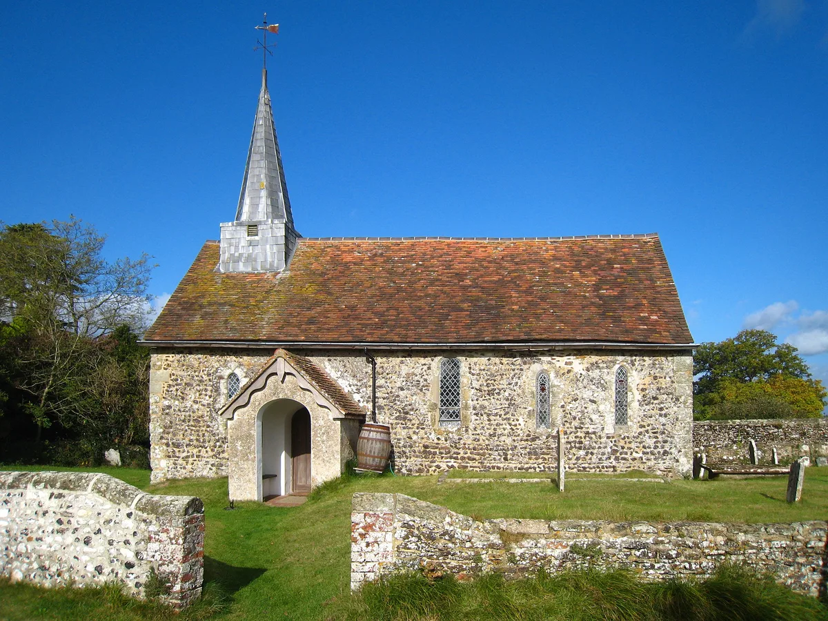
Wiggonholt Church
Wiggonholt Church — Grade I listed building-listed church in england-south-east, United Kingdom.
 📷 5
📷 5Viewpoints · South East England
Hail's view
Hail's view is a viewpoint in the United Kingdom.
 📷 5
📷 5Archaeological sites · South East England
Lickfold Roman bath house
Lickfold Roman bath house — a archaeological in england-south-east, United Kingdom.
 📷 5
📷 5Manor houses · South East England
Greatham Manor
Greatham Manor — a manor in england-south-east, United Kingdom.
 📷 5
📷 5Historic churches · South East England
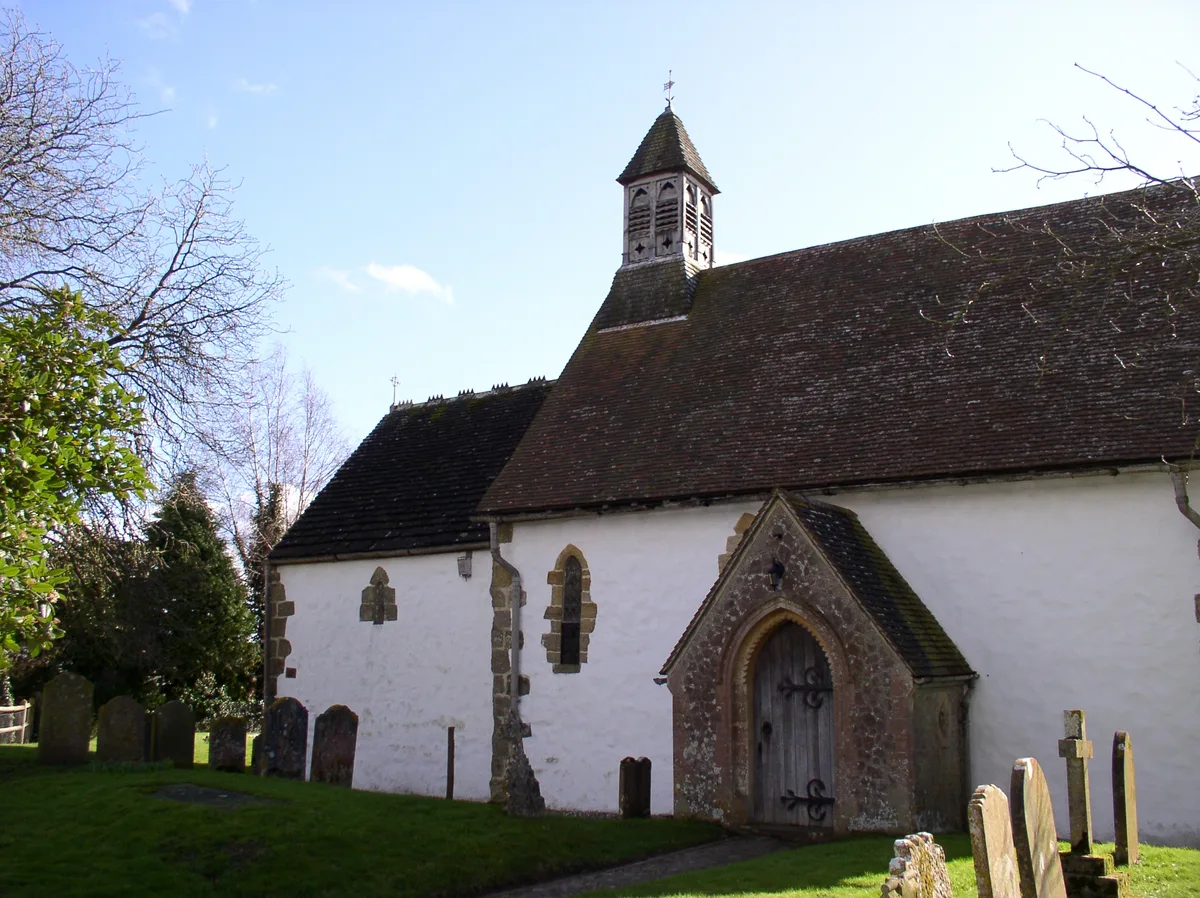
Greatham Church
Greatham Church — church in Greatham, West Sussex, England, UK.
 📷 5
📷 5Historic churches · South East England
St Botolph's Church, Hardham
St Botolph's Church, Hardham — Grade I listed church in Coldwaltham, Horsham, West Sussex, England, UK.
More forests in this region
 📷 5
📷 5Forests & woodlands · South East England
Alice Holt Forest
Alice Holt Forest is a forest or woodland in the United Kingdom.
.jpg?width=1200) 📷 5
📷 5Forests & woodlands · South East England
Alverstone Mead Nature Reserve
Alverstone Mead Nature Reserve is a forest or woodland in the United Kingdom.
 📷 5
📷 5Forests & woodlands · South East England
Ambarrow Court
Ambarrow Court is a forest or woodland in the United Kingdom.
 📷 5
📷 5Forests & woodlands · South East England
Ancells Farm Nature Reserve
Ancells Farm Nature Reserve is a forest or woodland in the United Kingdom.
Frequently asked questions
- Where is Pulborough Brooks Nature Reserve?
- Pulborough Brooks Nature Reserve is in West Sussex, South-East England, United Kingdom (postcode RH20 2EQ), in the parish of Parham.
- Is Pulborough Brooks Nature Reserve a protected site?
- Yes — Pulborough Brooks Nature Reserve is part of the Pulborough Brooks SSSI Site of Special Scientific Interest and the Arun Valley Ramsar wetland.
- Is Pulborough Brooks Nature Reserve free to visit?
- Yes, Pulborough Brooks Nature Reserve is free to enter.
- How do I get to Pulborough Brooks Nature Reserve?
- The nearest railway station is Pulborough, about 2.0 km away. Drivers can navigate to postcode RH20 2EQ.