Cemeteries · London
Priory Road Cemetery
Priory Road Cemetery is a cemetery in the United Kingdom.

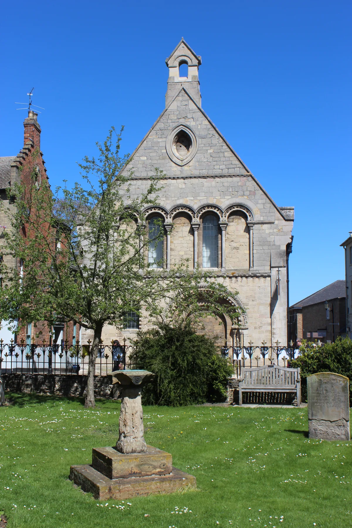
Richard Humphrey — CC BY-SA 2.0 via Wikimedia Commons licence
Plan your visit
- Typical visit
- 30 min–1 h
- Nearest railway station
- Huntingdon · 1.1 km
- Free entry
- Dog-friendly
About
Priory Road Cemetery is a named cemetery in the United Kingdom. Coordinates: 52.3333°, -0.1784°. This entry is part of The Great Britain Guide, a free, ad-free, open-data tourist directory.
Photo gallery
From the Wikipedia article
Priory Road is a street in Kilburn. Located in the London Borough of Camden it runs northwards from Belsize Road through South Hampstead crossing several streets including Abbey Road before finishing at a junction with Broadhurst Gardens, not far from West Hampstead tube station. It takes its name from the old Kilburn Priory located in the area until the dissolution of the monasteries under Henry VIII. The street marked the boundary between two separate estates that were redeveloped from the mid-Victorian era and was jointly constructed between them. It followed a very old track linking the priory with Hampstead. Originally known as Canfield Road, the name was changed in 1880 to reflect the area's connection with the former priory. The Anglican St Mary's Church was built between 1857 and 1862 at the junction with Abbey Road and is now Grade II listed. Part of the street was built over the ground of Hampstead Cricket Club who were forced to relocate in 1876. From 1895 to 1901 Kilburn Library, the Borough of Hampstead's first public library, was based in the street. The southern stretch of the street features a large number of white stucco houses and is part of a Conservation area along with nearby Priory Terrace. During the nineteenth century, the road continuing south beyond Belsize Road was considered an extension of Priory Road, but is now named Kilburn Priory.
Excerpt from Wikipedia under CC BY-SA 4.0. See the source article linked in Sources below.
- Coordinates
- 52.3333, -0.1784
- County
- Cambridgeshire
- District
- Huntingdonshire
- Parish
- Huntingdon
- Postcode
- PE29 1JW
- Parliamentary constituency
- Huntingdon
- Nearest railway station
- Huntingdon — 1.1 km
- Official site
- www.cromwellmuseum.org
Sources
- osm: w27491734 (ODbL)
- wikipedia: Priory Road (CC BY-SA 4.0)
Other places nearby
Loading nearby places…
Nearby
📷 5Cemeteries · London
Primrose Lane Lawn Cemetery
Primrose Lane Lawn Cemetery is a cemetery in the United Kingdom.
Cafés · London
Rosamunds
Rosamunds — a café in england london.
 📷 5
📷 5Museums · London
The Cromwell Museum
The Cromwell Museum — a museum in england-london, United Kingdom.
 📷 5
📷 5Museums · London
Cromwell Museum
Cromwell Museum — museum in Huntingdon, England, United Kingdom.
 📷 5
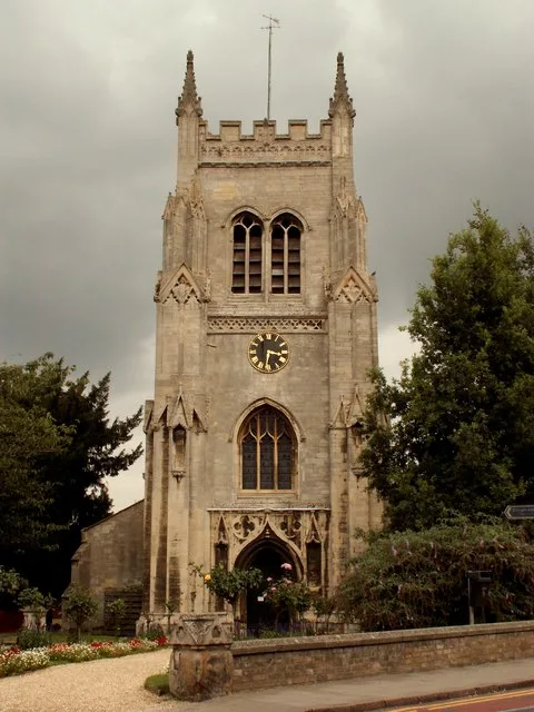
📷 5Historic churches · London
St Mary's Church, Huntingdon
St Mary's Church, Huntingdon — church in Huntingdonshire, UK.
 📷 5
📷 5Memorials & monuments · London
The Thinking Soldier
The Thinking Soldier — War memorial, dating to 1923-01-01.
More cemeteries in this region
 📷 5
📷 5Cemeteries · London
Abney Park
Abney Park is a cemetery in the United Kingdom.
 📷 5
📷 5Cemeteries · London
Acton Cemetery
Acton Cemetery is a cemetery in the United Kingdom.
 📷 5
📷 5Cemeteries · London
Alderney Road Cemetery
Alderney Road Cemetery is a cemetery in the United Kingdom.
 📷 5
📷 5Cemeteries · London
All Saints' Orpington
All Saints' Orpington is a cemetery in the United Kingdom.
Frequently asked questions
- Where is Priory Road Cemetery?
- Priory Road Cemetery is in London, in the United Kingdom — coordinates 52.3333°, -0.1784°. The nearest railway station is Huntingdon, around 1.1 km away.
- Is Priory Road Cemetery free to visit?
- Yes — admission to Priory Road Cemetery is free.