Beaches · South West England
Porthcurno
Also known as: Porthcurno Beach
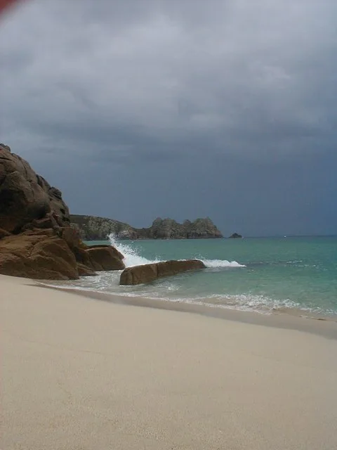
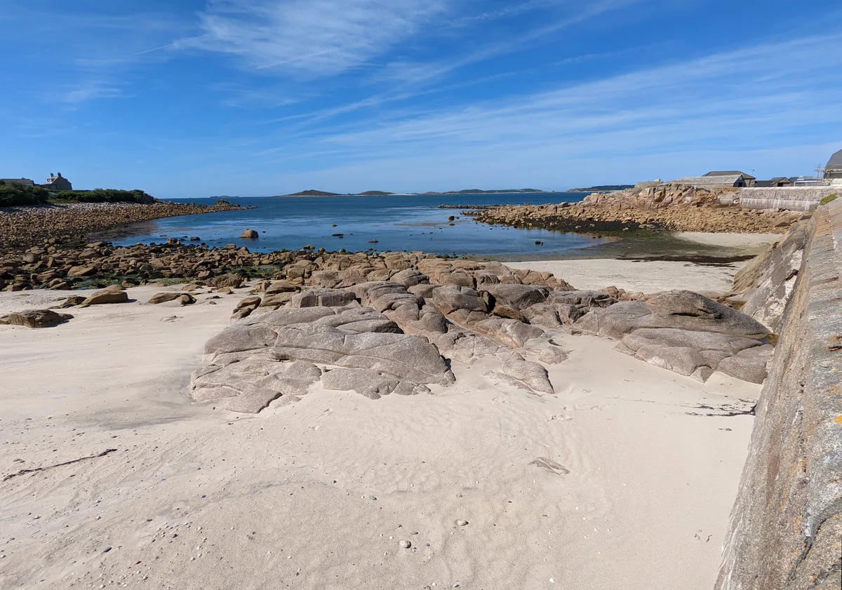
Porthcurno is a beach in the United Kingdom.

Wikimedia Commons contributors — see linked file page for photographer and licence licence
Plan your visit
- Typical visit
- 1 h–3 h
- Best time of year
- Summer (Jun–Aug)
- Free entry
- Family-friendly
- Dog-friendly
About
Porthcurno is a named beach on the United Kingdom coastline. Also known as: Porthcurno Beach. Coordinates: 50.0428°, -5.6504°. This entry is part of The Great Britain Guide, a free, ad-free, open-data tourist directory.
Photo gallery
Protected designations
- Site of Special Scientific Interest: Treen Cliff SSSI
- Area of Outstanding Natural Beauty: Cornwall
Designations sourced from Natural England open data under OGL v3.
From the Wikipedia article
Porthcurno (Cornish: Porthkornow, meaning "pinnacle cove", see below) is a small village covering a small valley and beach on the south coast of Cornwall, England in the United Kingdom. It is the main settlement in a civil and an ecclesiastical parish, both named St Levan, which comprise Porthcurno, diminutive St Levan itself, Trethewey and Treen. It is centred 6.6 miles (10.6 km) west of the railway, market, and resort town of Penzance and 2.5 miles (4.0 km) from Land's End, the most westerly point of the English mainland. Road access is via the north end of the valley along a long cul-de-sac with short branches off the B3283 and land traditionally associated with the village, including its beach, is on the South West Coast Path.
Excerpt from Wikipedia under CC BY-SA 4.0. See the source article linked in Sources below.
Background
Description
Porthcurno is unusually well known for its size because of its history as a major international submarine communications cable station. In the late nineteenth century, the remote beach at Porthcurno became internationally famous as the British termination of early submarine telegraph cables, the first of which was landed in 1870, part of an early international link stretching from the UK to India, which was then a British colony. Porthcurno was chosen in preference to the busy port of Falmouth because of the reduced risk of damage to the cables caused by ships' anchors. In 1872, the Eastern Telegraph Company (ETC) Limited was formed which took over the operation of the cables and built a…
Sourced from Wikipedia under CC BY-SA 4.0.
- Coordinates
- 50.0428, -5.6504
- District
- Cornwall
- Parish
- St. Levan
- Postcode
- TR19 6JU
- Parliamentary constituency
- St Ives
- Official site
- househttps
Sources
- osm: w97955671 (ODbL)
- commons: Storm at Porthcurno - geograph.org.uk - 582162.jpg (CC BY-SA 4.0)
- wikipedia: Porthcurno (CC BY-SA 4.0)
Other places nearby
Loading nearby places…
Nearby
 📷 5
📷 5Beaches · South West England
Porthcurno Beach
Porthcurno Beach is a beach in the United Kingdom.
 📷 3
📷 3Historic houses · South West England
Wendy House
Wendy House — a other in england-south-west, United Kingdom.
 📷 3
📷 3Museums · South West England
Rowena Cade Exhibition
Rowena Cade Exhibition — a museum in england-south-west, United Kingdom.
 📷 5
📷 5Museums · South West England
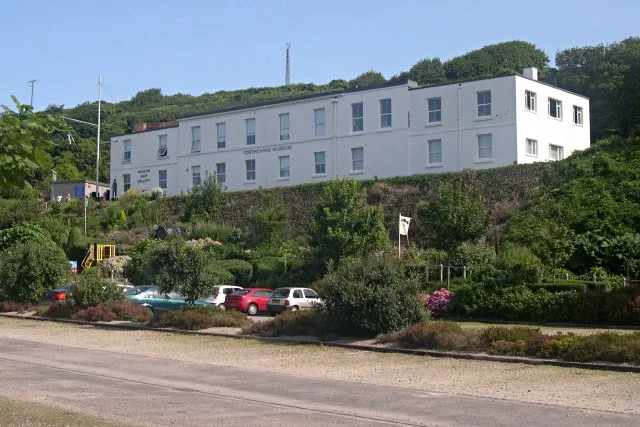
Museum of Global Communications
Museum of Global Communications — museum in Corwall, United Kingdom.
 📷 5
📷 5Towns & cities · South West England
Porthcurno
Porthcurno — village in Cornwall, United Kingdom.
 📷 5
📷 5Museums · South West England
PK Porthcurno
PK Porthcurno — a museum in england-south-west, United Kingdom.
More beaches in this region
 📷 5
📷 5Beaches · South West England
Amy's Cove
Amy's Cove is a beach in the United Kingdom.
 📷 5
📷 5Beaches · South West England
Arlo Porth
Arlo Porth is a beach in the United Kingdom.
 📷 5
📷 5Beaches · South West England
Arthur's Beach (Sunny Cove)
Arthur's Beach (Sunny Cove) is a beach in the United Kingdom.
 📷 5
📷 5Beaches · South West England
Ayrmer Cove
Ayrmer Cove is a beach in the United Kingdom.
Frequently asked questions
- Where is Porthcurno?
- Porthcurno is in South-West England, United Kingdom (postcode TR19 6JU), in the parish of St. Levan.
- Is Porthcurno a protected site?
- Yes — Porthcurno is part of the Treen Cliff SSSI Site of Special Scientific Interest and the Cornwall National Landscape (AONB).
- Is Porthcurno free to visit?
- Yes, Porthcurno is free to enter.
- How do I get to Porthcurno?
- Drivers can navigate to postcode TR19 6JU. It sits within the St Ives parliamentary constituency.