Towns & cities · Northern Ireland
Portavogie
Portavogie — village in County Down, Northern Ireland, UK.

Wikimedia Commons contributors — see linked file page for photographer and licence licence
Plan your visit
- Typical visit
- 3 h–6 h
- Free entry
- Family-friendly
- Dog-friendly
About
Portavogie is a town, city, village or settlement in the United Kingdom. Recent population estimates put it at around 2,122 people. Address: BT22. Wikidata describes it as: "village in County Down, Northern Ireland, UK". Coordinates: 54.4620°, -5.4440°.
Photo gallery
From the Wikipedia article
Portavogie (from Irish Port a' Bhogaigh 'harbour of the bog') is a village, townland and fishing port in County Down, Northern Ireland. It lies within the Ards and North Down Borough and is the easternmost settlement in Ireland. It had a population of 2,122 people in the 2011 Census. The town has a modern harbour, housing a large fishing fleet catching mainly prawns and herrings. Most evenings there are fish auctions on the quays. Three murals on the exterior of the local primary school celebrate the history of the fishing industry in the town.
Excerpt from Wikipedia under CC BY-SA 4.0. See the source article linked in Sources below.
Background
History
In about 1555 there was a settlement at Stable Hole to the north of where Portavogie now stands, at the bottom of what is now the Warnocks Road. The site was chosen for the shelter provided by the surrounding rocks and the sandy shore on which the inhabitants could beach their boats; they existed on what they could grow and catch. This was the first settled area south of Ballyhalbert (Talbot's Town) and in the main the inhabitants were families of fishermen who had travelled from across the Irish Sea from the Solway Coast. In those days the Ardes was an area of marsh land and bog and was in a world of its own to the rest of Ireland. Public records from 1620 name the area as Portabogagh from…
Description
During the period known as The Troubles there were two deaths in and near the village of Portavogie. These deaths were on separate occasions. 1973 1993
Sourced from Wikipedia under CC BY-SA 4.0.
- Coordinates
- 54.4620, -5.4440
- District
- Ards and North Down
- Postcode
- BT22
- Parliamentary constituency
- Strangford
- Population
- 2,122
Sources
- wikidata: Q75180 (CC0)
- wikipedia: Portavogie (CC BY-SA 4.0)
- commons: Charles Cryer Studio Theatre, Carshalton, Surrey - geograph.org.uk - 485263.jpg (CC BY-SA 4.0)
Other places nearby
Loading nearby places…
Nearby
 📷 4
📷 4Natural landmarks · Northern Ireland
Ballycarry
Ballycarry in Northern Ireland, United Kingdom.
 📷 3
📷 3Archaeological sites · Northern Ireland
Islanilalone
Islanilalone — a archaeological in northern-ireland, United Kingdom.
 📷 2
📷 2Natural landmarks · Northern Ireland
RAF Kirkistown
RAF Kirkistown in Northern Ireland, United Kingdom.
📷 4Natural landmarks · Northern Ireland
Kirkistown Circuit
Kirkistown Circuit in Northern Ireland, United Kingdom.
 📷 3
📷 3Castles · Northern Ireland
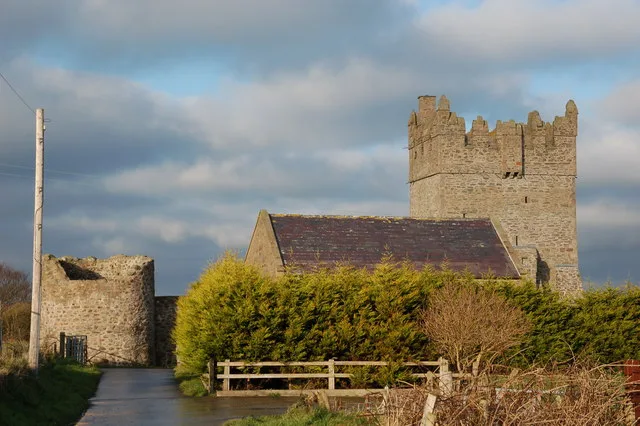
Kirkistown Castle
Kirkistown Castle — castle in Newtownards, County Down, Northern Ireland.
 📷 4
📷 4Natural landmarks · Northern Ireland
Burr Point
Burr Point in Northern Ireland, United Kingdom.
More towns in this region
 Flagship📷 5
Towns & cities · Northern Ireland
Bangor
Bangor — city in Northern Ireland, United Kingdom.
 Flagship📷 5
Towns & cities · Northern Ireland
Belfast
Belfast — capital city of Northern Ireland.
 Flagship📷 3
Towns & cities · Northern Ireland
Derry
Derry — city in Northern Ireland.
 Flagship📷 5
Towns & cities · Northern Ireland
Lisburn
Lisburn — city in Northern Ireland.
Frequently asked questions
- Where is Portavogie?
- Portavogie is in Northern Ireland, United Kingdom (postcode BT22).
- Is Portavogie free to visit?
- Yes, Portavogie is free to enter.
- How do I get to Portavogie?
- Drivers can navigate to postcode BT22. It sits within the Strangford parliamentary constituency.