Towns & cities · East of England
Playford
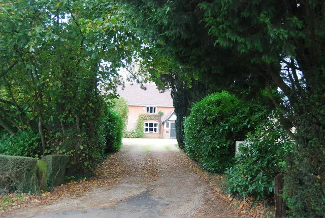
Playford — village and civil parish in Suffolk, United Kingdom.

Wikimedia Commons contributors — see linked file page for photographer and licence licence
Plan your visit
- Typical visit
- 3 h–6 h
- Nearest railway station
- Westerfield · 4.7 km
- Free entry
- Family-friendly
- Dog-friendly
About
Playford is a town, city, village or settlement in the United Kingdom. Recent population estimates put it at around 204 people. Address: IP6. Wikidata describes it as: "village and civil parish in Suffolk, United Kingdom". Coordinates: 52.0860°, 1.2350°.
Photo gallery
Protected designations
- Area of Outstanding Natural Beauty: Suffolk Coast & Heaths
Designations sourced from Natural England open data under OGL v3.
From the Wikipedia article
Playford is a village and civil parish in the East Suffolk district, in Suffolk, England, on the outskirts of Ipswich. It has about 215 residents in 90 households. The name comes from the Old English plega meaning play, sport; used of a place for games, or a courtship or mating-place for animals, and the Old English ford meaning a place where a stream or river can be crossed. Villages nearby include Rushmere, Little Bealings, Great Bealings, Culpho and Grundisburgh. There are no pubs or shops in Playford, although it has a church (St Mary's) and a village hall.
Excerpt from Wikipedia under CC BY-SA 4.0. See the source article linked in Sources below.
- Coordinates
- 52.0860, 1.2350
- County
- Suffolk
- District
- East Suffolk
- Parish
- Playford
- Postcode
- IP6
- Parliamentary constituency
- Central Suffolk and North Ipswich
- Population
- 204
- Nearest railway station
- Westerfield — 4.7 km
Sources
- wikidata: Q684796 (CC0)
- wikipedia: Playford, Suffolk (CC BY-SA 4.0)
- commons: PlayfordChurch.JPG (CC BY-SA 4.0)
Other places nearby
Loading nearby places…
Nearby
 📷 3
📷 3Public art & sculpture · East of England
Playford Village Sign
Playford Village Sign — a public art in england-east, United Kingdom.
 📷 3
📷 3Historic bridges · East of England
Bridge And Revetments To The South Arm Of The Moat Surrounding Playford Hall
Bridge And Revetments To The South Arm Of The Moat Surrounding Playford Hall — Grade II listed building-listed bridge in england-east, United Kingdom.
 Flagship📷 3
Stately homes · East of England
Culpho Manor
Culpho Manor — manor house in Culpho, Suffolk Coastal, Suffolk, England, UK.
 📷 3
📷 3Historic bridges · East of England
Boot Street Bridge
Boot Street Bridge — scheduled monument-listed bridge in england-east, United Kingdom.
 📷 3
📷 3Public art & sculpture · East of England
Great and Little Bealings Village Sign
Great and Little Bealings Village Sign — a public art in england-east, United Kingdom.
 📷 3
📷 3Memorials & monuments · East of England
Great Bealings War Memorial
Great Bealings War Memorial — Grade II listed building-listed memorial in england-east, United Kingdom.
More towns in this region
 Flagship📷 3
Towns & cities · East of England
Alburgh
Alburgh — village and civil parish in Norfolk, UK.
 Flagship📷 3
Towns & cities · East of England
Aldeby
Aldeby — village and civil parish in Norfolk, UK.
 Flagship📷 5
Towns & cities · East of England
Ashill
Ashill — village and civil parish in the English county of Norfolk.
 Flagship📷 3
Towns & cities · East of England
Aslacton
Aslacton — village and civil parish in Norfolk, UK.
Frequently asked questions
- Where is Playford?
- Playford is in Suffolk, East of England, United Kingdom (postcode IP6), in the parish of Playford.
- Is Playford a protected site?
- Yes — Playford is part of the Suffolk Coast & Heaths National Landscape (AONB).
- Is Playford free to visit?
- Yes, Playford is free to enter.
- How do I get to Playford?
- The nearest railway station is Westerfield, about 4.7 km away. Drivers can navigate to postcode IP6.