Public art & sculpture · South Wales
Pillgwenlly
Pillgwenlly — a public art in wales-south, United Kingdom.

Jaggery — CC BY-SA 2.0 via Wikimedia Commons licence
Plan your visit
- Typical visit
- 1 h–2 h
- Free entry
- Dog-friendly
About
Pillgwenlly is a public art located in wales-south, United Kingdom. Sourced from OpenStreetMap (ODbL licence); see local listings for visitor information, opening hours and admission details.
Photo gallery
From the Wikipedia article
Pillgwenlly (Welsh: Pilgwenlli), usually referred to as Pill, is a community and electoral ward in the city of Newport, South Wales. It is the centre of the historic docks industry in south east Wales and contains a number of landmarks that remain from that era. Today it is one of the most diverse wards in Wales, and has seen significant migration dating back to the 19th century.
Excerpt from Wikipedia under CC BY-SA 4.0. See the source article linked in Sources below.
Background
History
The town of Newport developed around its Norman motte, and the castle which replaced it in the Middle Ages around the 14th century. However evidence exists of early use of the area around Pillgwenlly by boats, albeit with no other development identified. By the late 18th century, the Monmouthshire Canal Act brought extension of the canal from the town to the southern mouth of the Usk. This brought commercial interest, with the founding of wharves in the early 19th century but with little residential development. Newport grew as a port thanks to the significant mineral exports of the five valleys, shipping significant volumes of coal. The area was soon limited by its capacity and the Town…
Architecture
Pillgwenlly retains significant examples of 19th and 20th century architecture, predominantly centred around buildings that served the shipping trade as well as housing for workers and buildings for traders. The area has two conservation areas, Lower Dock Street and the Cattle Market. The skyline of Pillgwenlly is dominated by the Newport Transporter Bridge built in 1906 to facilitate trade on the River Usk and access between Pill and the east side of the river. , opened in 1906]] ]]The Waterloo Hotel is a Grade II listed building and is a good example of an early-20th-century public house, with a surviving interior of exceptional quality. The corner of the building has a cantilevered…
Sourced from Wikipedia under CC BY-SA 4.0.
- Coordinates
- 51.5775, -2.9891
- District
- Newport
- Parish
- Pillgwenlly
- Postcode
- NP20 2DT
- Parliamentary constituency
- Newport East
- Official site
- phyllismaud.org.uk
Sources
- osm: node/12227907559 (ODbL)
- wikipedia: Pillgwenlly (CC BY-SA 4.0)
Other places nearby
Loading nearby places…
Nearby
📷 3Public art & sculpture · South Wales
Tree of Pillgwenll
Tree of Pillgwenll — a public art in wales-south, United Kingdom.
 📷 3
📷 3Theatres · South Wales
Gem Cinema
Gem Cinema in Wales South, United Kingdom.
 📷 3
📷 3Public art & sculpture · South Wales
United Cultures of Pillgwenlly
United Cultures of Pillgwenlly — a public art in wales-south, United Kingdom.
📷 3Public art & sculpture · South Wales
PC Val mural
PC Val mural — a public art in wales-south, United Kingdom.
📷 3Public art & sculpture · South Wales
Windrush
Windrush — a public art in wales-south, United Kingdom.
 📷 3
📷 3Theatres · South Wales
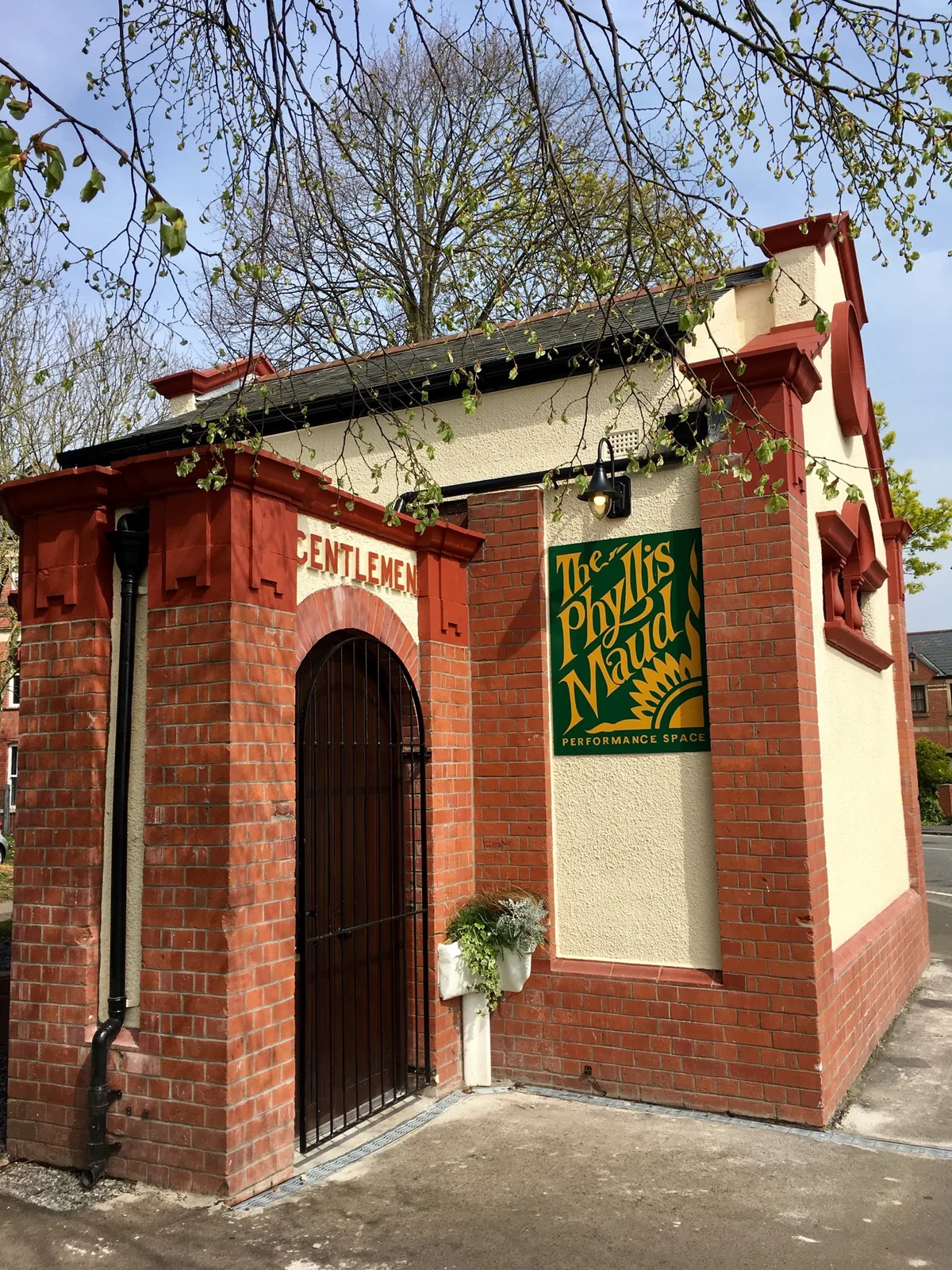
The Phyllis Maud Performance Space
The Phyllis Maud Performance Space is a theatre in the United Kingdom.
More places in this region
 📷 4
📷 4Public art & sculpture · South Wales
Alliance
Alliance in Wales South, United Kingdom.
 📷 3
📷 3Public art & sculpture · South Wales
W. R. H. Powell Memorial
W. R. H. Powell Memorial in Wales South, United Kingdom.
 📷 3
📷 3Public art & sculpture · South Wales
Memorial to Evan and James James
Memorial to Evan and James James in Wales South, United Kingdom.
 📷 5
📷 5Public art & sculpture · South Wales
Gromit Unleashed
Gromit Unleashed in Wales South, United Kingdom.
Frequently asked questions
- Where is Pillgwenlly?
- Pillgwenlly is in South Wales, United Kingdom (postcode NP20 2DT), in the parish of Pillgwenlly.
- Is Pillgwenlly free to visit?
- Yes, Pillgwenlly is free to enter.
- How do I get to Pillgwenlly?
- Drivers can navigate to postcode NP20 2DT. It sits within the Newport East parliamentary constituency.